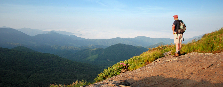
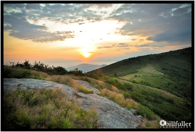
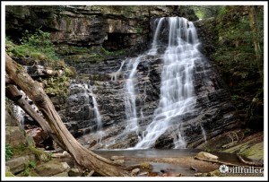
Located along the TN/NC border in Unicoi County, TN is the newly purchased U.S. Forest Service property known as Rocky Fork. This 10,000 acre tract is very rugged, with unmarked trails and very limited trail maps. My good friend Jimmy Humston and I decided to do some exploring along the northern-most sections of the tract with our ultimate goal being “Buzzard Rock”… a wonderful, but extremely well-earned vista at 4,600′ elevation that overlooks the majority of the property. Read more
Dennis Cove Falls
If you’re looking for a beautiful and adventurous hike, then check out out upper and lower Dennis Cove Falls in the Dennis Cove Recreational area. This hike is not overly strenuous and the trail is well-marked, but it does require three creek crossings that can range from moderate to extremely dangerous… depending upon the water level in the Laurel Fork stream. Staying dry can be a challenge. Read more
White Rocks and Sand Cave (Cumberland Gap)
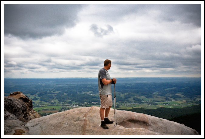
Near the Cumberland Gap, and located on the long Cumberland Mountain ridgeline, are two awesome formations known as White Rocks and Sand Cave. Both of these can be visited in the same day with a strenuous, ~9 mile hike within the Cumberland Gap National Historic Park from the trailhead in the Thomas Walker Civic Park. This is a tough hike with about 1700 feet in elevation gain, but the trails are well maintained and contain lots of switchbacks that make the climbing a little easier.
I decided to make a loop out of the hike, visiting Sand Cave first and then heading down the ridge to White Rocks. If you use my route, review the trail directions below carefully. The trails are in good shape and have signage at trail junctions, but they aren’t blazed, and I found some of the sign posts uprooted, which could leave you a little unsure at times. Read more
Watauga Dam
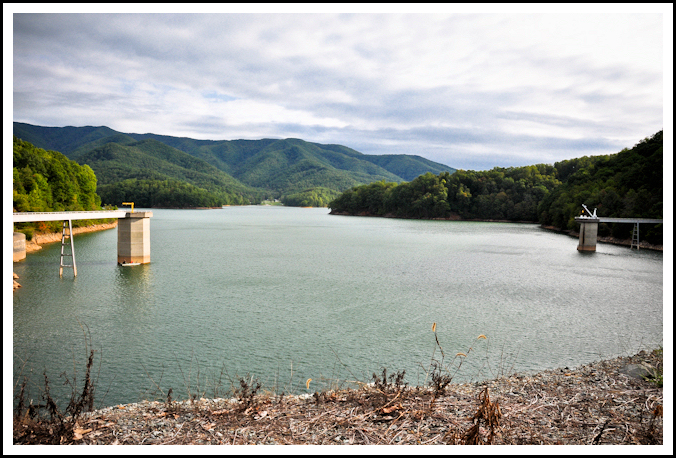
Watauga Dam was completed in 1949 by the Tennessee Valley Authority, creating a very beautiful lake at 2000′ elevation. At the time of its construction, it was the highest elevation earthen dam in the world, and today it still remains as the highest in the eastern United States. What makes this area so picturesque is that much of the lake is surrounded by National Forest and the towering ridgelines of Iron and Pond mountains. Read more
Whitetop Mountain & Buzzard Rock
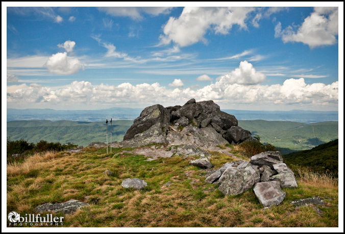
Whitetop Mountain is the State of Virginia’s second highest peak at 5525′, along with having the highest maintained road in the state. You can make this a very short and easy day-hike by taking this road all the way to the top of the mountain, but I decided to climb it on foot instead… starting at highway US600 at Elk Garden and heading south on the Appalachian Trail. Read more
Rocky Fork to Birchfield Camp Lake – Mtn Bike
A few months ago I found Birchfield Camp Lake (elevation 4000′) in the Rocky Fork Tract via the Higgins Creek route. This time I decided to see if I could find it coming in from the main gate at Rocky Fork. This is a longer route, and since my knee is still tender, I decided to give it a try on the mountain bike. Read more
Grassy Ridge
Grassy Ridge is a prominent peak in the Roan Highlands sitting at 6180 feet in elevation. This expansive Southern Appalachian Bald offers 360 degree, unobstructed views, which are undoubtedly some of the best in the eastern U.S. This is also the highpoint of Avery County, NC.
I left the house very early in the morning and arrived at Carver’s Gap around 5:00 a.m. I hiked by headlamp for the first mile, crossing the summits of Round Bald and Jane Bald, where I stopped to set up my photography equipment. This happens to be my favorite spot for capturing sunrises in the east, and this morning’s sunrise did not disappoint me… Read more
Grayson Highlands State Park – Rhododendron Trail
First, I want to apologize for the lack of posts lately. I went on a 4-day backpacking trip about a month ago and injured my knee, so I haven’t been out much since that trip. I hope it is healing up so I can get back out on some longer hikes very soon.
I’ve made it a little tradition to go hiking with my dad on Father’s Day for the past few years, and this year we decided to drive up to the Grayson Highlands State Park in southwest Virgina and hike up to the A.T. from Massie Gap. Dad had never seen the feral ponies in this area, so I figured Massie Gap would be the best chance of that. Read more
Bailey Falls
This is a continuation to the Margarette Falls hike posted a few days ago…
The Margarette Falls hike is very easy and great for families and beginners, however if you want to be more adventurous you can continue on upstream from Margarette to the very unique, grotto-like waterfall known as Bailey Falls. This is NOT an easy hike.
You must first climb the VERY steep embankment to the right of Margarette Falls. The trail here is very faint. Once you reach the top you must work your way through the underbrush back toward the stream. Then, just follow the stream as best you can for a couple tenths of a mile… climbing over numerous boulders, fording in certain places, and sometimes just walking up the middle of the stream. Plan on getting wet. Read more
Margarette Falls
One of the most picturesque waterfalls in our region has to be Margarette Falls located in Greene County, Tennessee. Not only is this 60′ waterfall truly magnificent, but the hike to get to it is very beautiful as well. Located on west fork of Dry Creek in a very rocky gorge, there are numerous waterfalls on the way up (3 or 4 in the 10′ range), many cascades, and high cliffs towering above the trail. And if you go at the right time of year, wildflowers are in abundance. I saw numerous species of Trillium, wild Iris, wild Geranium, Larkspur, Rue Anemone, and Bleeding Hearts… only to name a few. Read more

