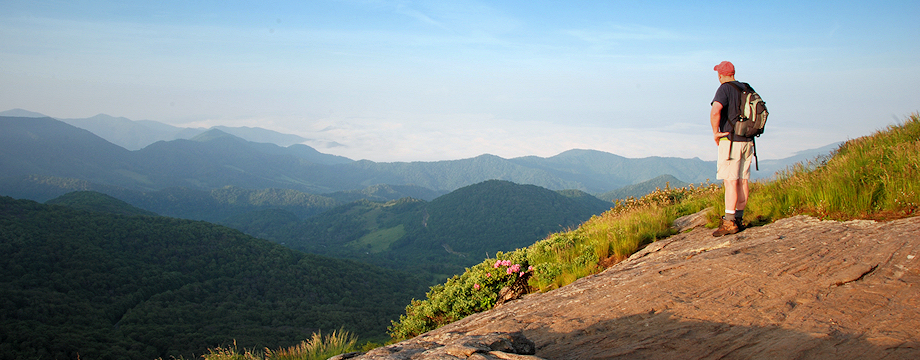
Located along the TN/NC border in Unicoi County, TN is the newly purchased U.S. Forest Service property known as Rocky Fork. This 10,000 acre tract is very rugged, with unmarked trails and very limited trail maps. My good friend Jimmy Humston and I decided to do some exploring along the northern-most sections of the tract with our ultimate goal being “Buzzard Rock”… a wonderful, but extremely well-earned vista at 4,600′ elevation that overlooks the majority of the property.
We began our trip in the lowlands of Higgins Creek with our first stop at the 100′ Higgins Creek Falls. Water levels were up from recent rains giving us quite a show, but it would also leave us wading swelled streams in the cold temperatures. Almost immediately after visiting the falls, we left the maintained trail and began a steep ascent up Birchfield Camp Branch following a primitive trail, or sometimes just following the stream itself. Keeping our feet dry was impossible. About halfway up there is a nice small waterfall, which is a good place to rest. Earlier in the year I sent the coordinates to the Tennessee Landforms website for categorization, and it is now named Birchfield Camp Falls. Eventually, we made it to Birchfield Camp Lake where we had lunch.
From the lake, we hiked up an old forest road, now named “Hidden Lake Trail” until it met up with the “High County Trail”, which basically follows the ridgeline of Rich Mountain on the Unicoi/Greene County line for approximately 5 miles. We had nice vistas all along this ridge overlooking the Sampson Mountain Wilderness through the leafless trees. We often had to stop and check our maps and GPS to ensure we were still on the right path as other forest roads shot off in different directions… again there are no blazes or signs to mark the way, so if you decide to hike this area read my “Trail Directions” below and carry maps (also see below) and a GPS unit as well.
Nearing mid-afternoon we still had the tough climb ahead of us up to Buzzard Rock. With tired legs and cold, wet feet, it was a difficult final ascent, but the view was well worth it. We decided to set up camp near that location and enjoy the vista for the rest of the evening. My estimate is that we only hiked about 8.2 miles on Day #1, but we had a total ascent of well over 3000 feet.
I got up early the next morning to enjoy the sunrise coming up over Little Bald Mountain. It was spectacular. I regretted not having a better camera to document it. After a leisurely morning, Jimmy and I were back on the trail. We retraced our steps for the first mile or so on the High Country Trail until it connected to the Headwaters Trail, which basically follows Rocky Fork (stream) all the way to the main gate of the Rocky Fork Tract. I think we had five or six large stream crossings on the way out… some of which took some exploring and difficult rock-hopping to maneuver, but somehow we managed to stay dry. After passing by the Rocky Fork Trio falls we soon arrived at the car, completing a nice traverse of this beautiful property. Day #2 was a 7.1 mile hike and almost all downhill.
On a side note: I would like to congratulate my friend David Ramsey for recently winning the Field and Steam Conservation Hero of the Year, and he is also a finalist in the Budweiser Conservationist of the Year…. for all his hard work and dedication to the protection of the Rocky Fork Tract. Those of us who will enjoy this wonderful treasure for years to come have David to thank for it.
_______________________________________________________________________________
|


3 Responses to Rocky Fork Backpacking