browser icon
You are using an insecure version of your web browser. Please update your browser!
Using an outdated browser makes your computer unsafe. For a safer, faster, more enjoyable user experience, please update your browser today or try a newer browser.

Iron Mtn Backpacking: TN91 to Wilbur Dam Road

Posted by on September 22, 2012

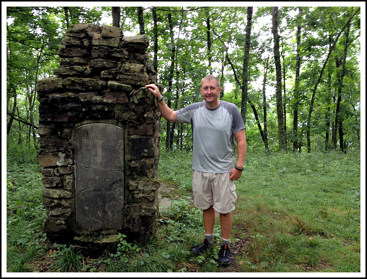
Bill at Nick Grindstaff Monument

I finished up a small section of Appalachian Trail that I had not completed before, covering the Iron Mountain ridgeline from TN91  to Wilburn Dam Road.  This was a southbound 16 mile hike, spending one night.

About 3 miles into the hike my first stop was the Nick Grindstaff Monument.  This is very eerie place with a unique story…

Nick Grindstaff was born in 1851.  At the age of three he was orphaned.  Rumor has it that he later moved out west where he was robbed and severely beaten, along with suffering other financial difficulties.  He soon returned to Tennessee where he lived out the final 45 years of his life in total solitude (except for his dog “Panter”) in a very small cabin on Iron Mountain.  Supposedly, in 1923 a man went to visit Nick and found him dead in his cabin.  Some stories say that Panter watched over Nick’s dead body for days and had to be overpowered and tied to a tree so that his body could be buried.  Other stories say that Panter had to be killed and was buried alongside Nick in the chimney-shaped grave, which was once his cabin’s brick fireplace.  To this day many hikers that camp near this area report the spine-chilling howls of a dog late at night.  A few years ago I also had a scary encounter with dog near this very spot.

Nick Grindstaff Monument and Gravesite

Lived Alone, Died Alone, Suffered Alone

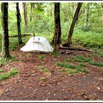
Campsite on Iron Mountain

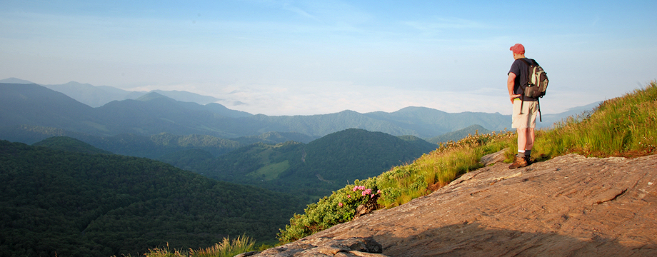
After taking some photos (low quality is due to shots taken with only my iPhone) and after eating some lunch I continued southbound, which from this point was all “new” A.T. for me.  It was some of the easier hiking that I’ve done on the A.T. with gentle climbs and descents.  Basically, this entire hike simply stays on top of the ridgeline.  Views were beautiful, but this hike would be even more spectacular in the winter months without the leaves on the trees.

Eventually I passed by Iron Mountain Shelter, where I resupplied some of my water.  Then at about the eight mile mark (which was the midway point of this trip) I found a nice campsite in a gap.  There was also a nice spring there about 100 yards off the trail.  I had a good fire and a good night.

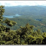
Views of Watauga Lake

I Saw a Lot of Cool Mushrooms

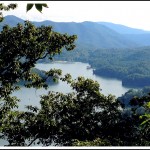
Vista Near the End of the Hike

The next day I continued southbound, and I feel I had even better views on this day as much of the forest on my left began to open up over Watauga Lake.  I also had a rush of adrenaline after seeing a big black bear in a tree just ahead of me before arriving at Vandeventer Shelter.  I stopped there for lunch, which has stunning vistas from just behind the shelter.  From there, I descended down to Wilburn Dam Road where I completed my hike.  The last couple miles of trail were very nice following a recent relocation by the Tennessee Eastman Hiking and Canoeing Club, with lots of new switchbacks and wide trail.  Weather was perfect.  It was a good trip.

_______________________________________________________________________________

———————————-

Overall Recommendation:

Intermediate backpack with intermediate fitness. Winter or early spring hike to avoid excess underbrush growth and to have good views through the trees.

Outstanding Features:

Historical Monument. High elevation lake. Two Appalachian Trail shelters.

Difficulty:

Moderate. Less than 1000 feet of elevation gain per day, but some steep areas.

Driving:

I left my car at Willbur Dam Road and shuttled up to the A.T. trailhead/road crossing at TN91.  To get to the trailhead at TN91 follow these directions:  From Highway 19E in Elizabethton, take Stony Creek Road (Highway 91) toward Shady Valley, TN for 18 miles to a parking area at the intersection of Highway 91 and Cross Mountain Road on the right.

To get to the parking area at the end of the hike at Wilbur Dam Road follow these directions:  From Highway 19E in Elizabethton, take Stony Creek Road (Highway 91) toward Shady Vally, TN for approximately 3 miles.  Turn right onto Blue Springs Road (follow the signs for Watauga Dam).  After 0.7 miles take a right to continue onto Blue Springs Road.  Continue for 5.5 miles (the road will eventually turn into Steel Bridge Road and then Wilbur Dam Road) and you will see a small parking area on your left where the A.T. crosses Wilbur Dam Road. 

Trails:

From the parking area at TN91, cross over Cross Mountain Road and head into the forest following the white blazes.  This is heading south on the A.T.  If you cross over TN91 you will heading north on the A.T. toward Osbornse Farm, which is the wrong direction.  Simply follow the white blazes.  In 3.5 miles you’ll reach the Nick Grindstaff Monument.  In approximately 8.0 miles you’ll reach the gap where I camped (there is a small sign there indicating water).  On day #2 continue southbound and in 8.0 more miles you’ll reach Wilbur Dam Road

Needed Gear & Tips:

Some areas were a little overgrown so trekking poles helped with keeping the weeds away.  There’s not a lot of water on top of the ridgeline so be sure to refill at the Iron Mountain Shelter, and the good spring where I camped.

Distance:

Approximately 16.0 miles.

Time Allotment:

2 Days

Type:

Continuous.

Vista

Rating (1-5):

3.0 – Sporadic views of Watauga Lake and other mountain vistas through the trees.

Waterfall:

none

Water Crossings (one way):

One(very easy)

Scrambling/Climbing:

none.

Hazards:

None.

Maps/GPS info:

More

Information:

6 Responses to Iron Mtn Backpacking: TN91 to Wilbur Dam Road

  1. Paul Robert O'Neill

    Bill!

    I love the hiking diary & guide. Great to know you are getting out and enjoying the wilderness…I still do as much as I can too….

    Cheers,
    Paul

    • Bill Fuller

      Thanks, Paul. If you ever get back in this area please let me know. Hope all is well with you.

  2. jim

    I’ve been following your blog on and off for several years now. I thought maybe you had gave it up since it’s been so long since you’ve last posted anything. Glad you’re still at it.

    Jim hayes

    • Bill Fuller

      Thanks, Jim. Yep… I’m still at it… just hard finding the time to post sometimes with work and family obligations. Take care! Bill

  3. Rebecca

    My husband and his brother are planning on taking my son and nephew on this hike, but stretching it to 3 days. Would you consider this to be too strenuous for a 7 and 8 year old?

    • Bill Fuller

      I don’t think it would be too strenuous for a 7 and 8 year old… especially if you stretch it to 3 days. Once you get up on the Iron Mtn ridgeline, it’s a relatively easy hiking as far as the A.T. goes…. mostly flat with just a few gradual ups and downs.

Leave a Reply

Your email address will not be published. Required fields are marked *

This site uses Akismet to reduce spam. Learn how your comment data is processed.