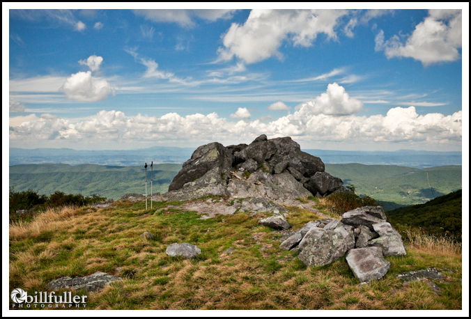
Buzzard Rock
Whitetop Mountain is the State of Virginia’s second highest peak at 5525′, along with having the highest maintained road in the state. You can make this a very short and easy day-hike by taking this road all the way to the top of the mountain, but I decided to climb it on foot instead… starting at highway US600 at Elk Garden and heading south on the Appalachian Trail.
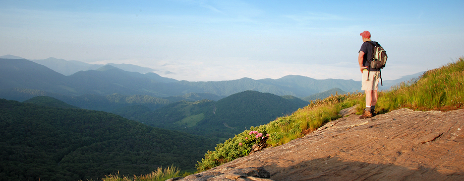
Much of Whitetop’s ridge-line is a Southern Appalachian Bald with wonderful views into Virginia, Tennessee, and North Carolina. My goal was to make it to Buzzard Rock, which is often listed as a separate mountain, being one of Virginia’s 5 peaks over 5000 feet. However, it seems to be just a ridge off of Whitetop Mountain with very little prominence of its own. Regardless, Buzzard Rock is the highlight of this area with spectacular views. Interestingly, the rock outcropping is also made up of this region’s oldest Rhyolite (igneous volcanic rock), …created by lava flows.
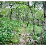
Pretty Grove on the A.T. Near Buzzard Rock

Huge Tree Fungus Called "Sulphur Shelf" (It's edible... prepare it like chicken)
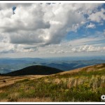
View Looking Down Whitetop Toward Buzzard Rock
The hike from Elk Garden to Buzzard rock is a moderate climb with about 1000 feet of elevation gain in 3.2 miles (6.4 miles round-trip). It is all on the Appalachian Trail, but I decided to take a detour up to the summit of Whitetop Mountain by walking on up the graveled road when the A.T. intersected it. This added a couple of miles to my hike. I was hoping the summit would offer more vistas, but instead it is covered in Red Spruce, Fraser Firs, and a fenced-in area with radio towers.
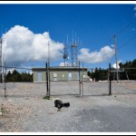
The Summit of Whitetop Mountain
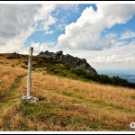
Buzzard Rock from the Appalachian Trail
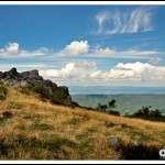
Buzzard Rock - Composed of Volcanic Rhyolite
After visiting the summit of Whitetop, I continued to Buzzard Rock where I spent quite a bit of time photographing and enjoying the scenery before I returned back down the mountain.
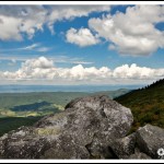
On Top of Buzzard Rock
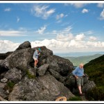
Very Nice Couple I Met... Checking Out the Amazing Views
Views of the North Carolina Mountains from Whitetop
Buzzard Rock is a beautiful place, and even if you don’t want to make this a long hike, it is still easily accessible to almost any hiker or sightseer (regardless of physical ability) by using the well-maintained road.
_______________________________________________________________________________
|
–

———————————-
Overall
Recommendation:
Intermediate to advanced hikers looking for some of the best vistas in Southwest Virginia. Less advanced hikers can also take the road to see these great views.
–
Outstanding
Features:
Southern Appalachian Bald, prominent summits, great views spanning three states, very old Rhyolite rock formations.
–
Difficulty:
Moderate to Difficult. 1000+ feet of elevation gain if using the Elk Garden approach. Easy if using the road.
–
Driving:
From Damascus, Virginia take Route 58 East and travel 10.6 miles, then continue straight onto Route 603 (Konnarock Rd.) and go 4.4 more miles. Then turn right onto Route 600, which is Whitetop Mountain Road. and go 3.3 miles. You will see a Mount Rogers sign and a large parking lot on your right. This is Elk Garden Or, another route is coming in from Interstate 81. If using this route take exit 35 at Chilhowie, and go away from town on state route 762/600. I’m not sure of the exact mileage, but just stay on Route 600 and in approximately 11.5 miles you will take a left onto Route 600 (Whitetop Mountain Road). Travel 3.3 miles and the Elk Garden parking lot will be on your right.
–
Trails:
From the parking area, simply get on the Appalachian Trail heading south, which is on the same side of the road as the parking lot (right behind the privy, immediately heading into the forest!). If you cross the road to get on the A.T. you would be heading north, so don’t cross the road. Just follow the white blazes and in 2.6 miles you will reach the graveled Whitetop Mountain Road. If you want to summit Whitetop Mountain you will need to take a right here and climb the road all the way to the top (at least .75 mile). If not, just stay on the A.T. and at the 3.2 mile mark you will reach Buzzard Rock, which is a very large rock outcropping immediately adjacent to the A.T.
–
Needed
Gear & Tips:
Water sources are plentiful unless in drought conditions. Take cool weather clothes and expect windy conditions with temps 15 degrees or more cooler than in the lowlands.
–
Distance:
Approximately 6.4 miles round-trip. If you want to summit Whitetop, add another 1.5 miles.
–
Time
Allotment:
4-6 hours
–
Type:
Out & Back.
–
Vista
Rating (1-5):
5.0 – Almost 360 degree views with expansive grassy ridge-lines. View many of the region’s prominent mountains spanning 3 states.
–
Waterfall
Rating (based on a 1-50 scale):
none–
–
Water
Crossings (one way):
A few very small streams, but you shouldn’t get wet.
–
Scrambling/Climbing:
None, unless you want to climb around on Buzzard Rock.
–
Hazards:
Take precautions to avoid hypothermia especially in cool conditions. Weather can change dramatically at high elevations. Expect temperatures 10 to 15 degrees cooler than in the lowlands.
–
Maps/GPS
info:
none
–
More
Information:
|
|



14 Responses to Whitetop Mountain & Buzzard Rock