|
–

———————————-
Overall
Recommendation:
Advanced hikers only with some navigational skills. Winter or early spring hike to avoid excess underbrush growth. Wait on the good rain before going.
–
Outstanding
Features:
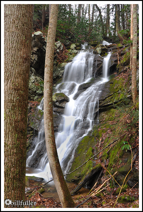
Remote waterfall.
–
Difficulty:
Very difficult.
–
Driving:
From Johnson City: Take I-26 to the Erwin/Jonesborough exit (#37). At the end of the ramp turn right and take State Rt. 81/107 for 6.5 miles. Stay on Rt. 107 by turning left and continue for 5 more miles. Turn left onto Clark’s Creek Road and drive 3.1 miles into the Cherokee National Forest to a parking area on the left. A sign will indicate the trailhead for Sill Branch Falls.
–
Trails:
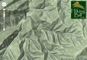
Once parked, begin at the “Sill Branch Trails” sign. In approximately 0.4 miles you will come to a trail junction where you need to take a right on CNF Trail #116 (Sill Branch South). In another ~0.2 mile you will make a moderate ford across the stream. After this first ford, go another ~0.2 mile to a wide spot in the trail, and you will see an old forest road off to your left. Take this forest road, which sends you in the opposite direction (heading back in the downstream direction) and begin ascending up the mountain. This is the end of the maintained trails. Continue on this old, overgrown forest road. You will eventually reach a high point on the ridge (with nice views of Sampson Mountain and awesome rock formations on the adjacent ridge above Sill Branch). My GPS measured this overlook at 1.0 miles into the hike. From here the “trail” will turn toward your right and begin descending down into the Sill Branch North ravine. After approximately ~0.2 more miles and some more difficult bushwacking you will come to a small tributary feeding Sill Branch. At this point, you are on the right side of the stream, heading upstream. Ford this 1st tributary and continue walking upstream. In another ~0.15 mile you will come to a second small tributary (again on the right side of the stream) which you will also ford. From here the trail is very overgrown, but just keep heading upstream. In another ~0.1 mile you will come to a third small tributary (again coming down from your right). At this 3rd tributary, you will see a small ridge in between (seperating) this 3rd tributary and Sill Branch. Walk up this little ridge for 20 or 30 yards, and you will again see the forest road. Keep going upstream on this old road and in another ~0.1 mile you will see the waterfall.
–
Needed
Gear & Tips:
Trekking poles are a must. Take a pair of hand-loppers to clear brush and briars. A GPS unit may be needed. And taking a hiking companion with you is a very good idea in this rugged terrain. It is also very slow trekking so get an early start, and allow extra time. Only go after a good rain so the waterfall will have decent flow.
–
Distance:
Approximately 3.4 miles round-trip, but feels like double that.
–
Time
Allotment:
4-5 hours
–
Type:
Out & Back.
–
Vista
Rating (1-5):
3.0 – Nice views of rock formations on the adjacent ridge, and good views of Sampson Mountain
–
Waterfall
Rating (based on a 1-50 scale):
Upper Sill Branch Falls: H(5) + F(4) + V(3) + W(2) + G(3+5+7) = 29
–
Water
Crossings:
Four… 2 (easy), 1 (moderate) and 1(difficult)
–
Scrambling/Climbing:
No rock climbing, but you will have some moderate climbing over and under fallen trees.
–
Hazards:
Extreme slippery slopes and steep areas. Difficult bushwacking requiring some climbing and crawling.
–
Maps/GPS
info:
Download Upper Sill Branch Falls Waypoint Here
–
More
Information:
|


9 Responses to Upper Sill Branch Falls