


This is a loop hike in the Grayson Highlands that I tend to do about once per year, so I’ve posted it a couple times before, but not with all the snowy conditions that I experienced this time.
My daughter Taylor and her boyfriend Cameron joined me over their spring break around the end of March. And the weather surprised us with with up to two feet of snow in many areas, with very icy conditions. It made for some tough hiking to say the least.
We did my normal route and started at the Backpacker’s Overnight Parking taking the blue-blazed Spur Trail up to the A.T., where we then went north on the A.T.
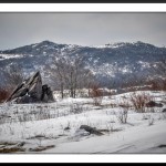
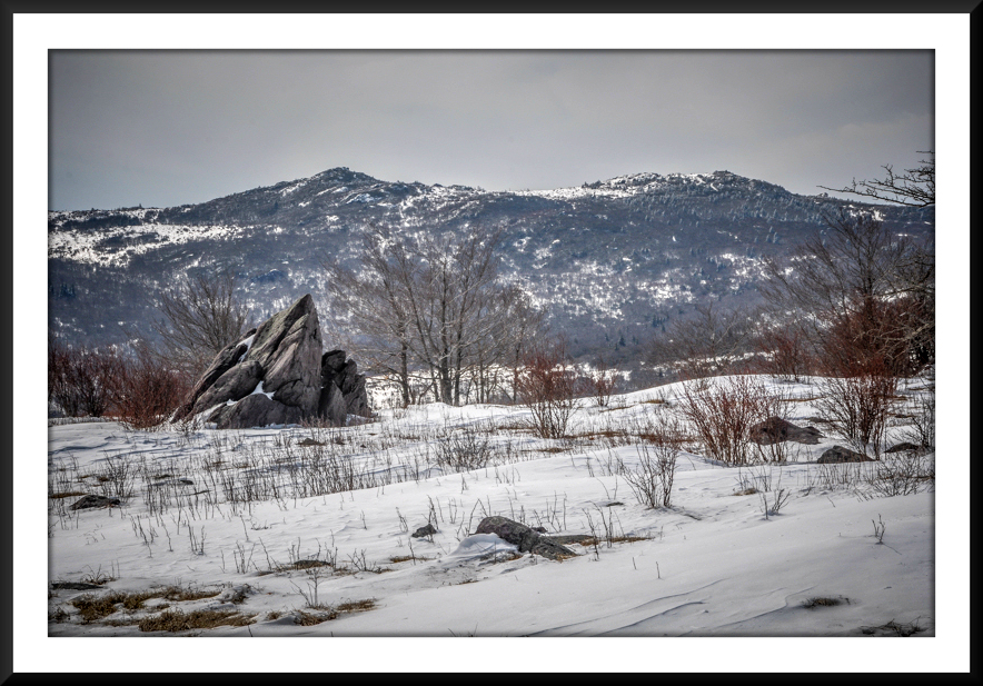
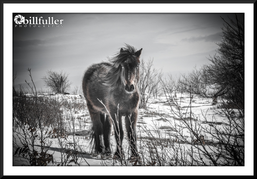
Things were quite pleasant until we passed Wise Shelter, where we had lunch. From that point the snow got deeper and all the footprints of previous hikers went away. We struggled to find the trail in many locations, but eventually made our way across Stone Mountain and to the Scales, where we set up camp. We built a fire, and had Fajitas for dinnner before retiring early.
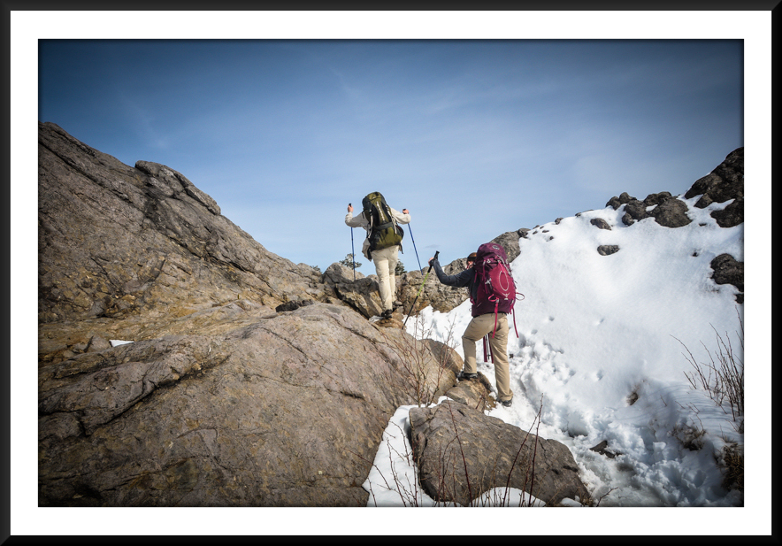
After a brutally cold night we continued on the A.T. until we ran into the Pine Mountain Trail, taking it to Rhododendron Gap. This was probably some of the most difficult hiking on the trip as the snow started to melt… leaving a very slippery, slushy, muddy trail. Climbing was difficult. We spent some time hanging out at the big rock at Rhododendron Gap… taking some pictures before getting back on the A.T. (north) and making our way up to Wilburn Ridge. After descending off the ridge, which took quite a long time due to the snow and ice, we ran into a bunch of feral ponies near Massie Gap. It was a nice way to end our 12-mile hike. Please refer to the “Hike Planner” and trail directions below for specific mileages, water sources, etc.
-
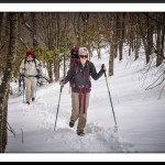
- Snow is Getting Deeper on the Descent to Wise Shelter
-
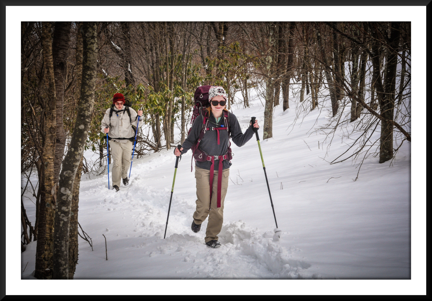
- Lunch at Wise Shelter
-
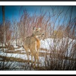
- Deer Near Little Wilson Creek
-
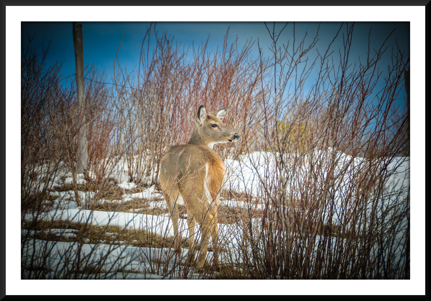
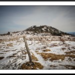
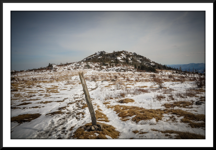
- Wind-blown Snow on Stone Mountain
-
- Looking Across the Valley to Wilburn Ridge
-
- Climbing on Stone Mountain
-
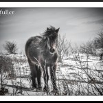
- Feral Pony Near the Scales
-
- My Campsite at the Scales
-
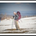
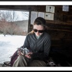
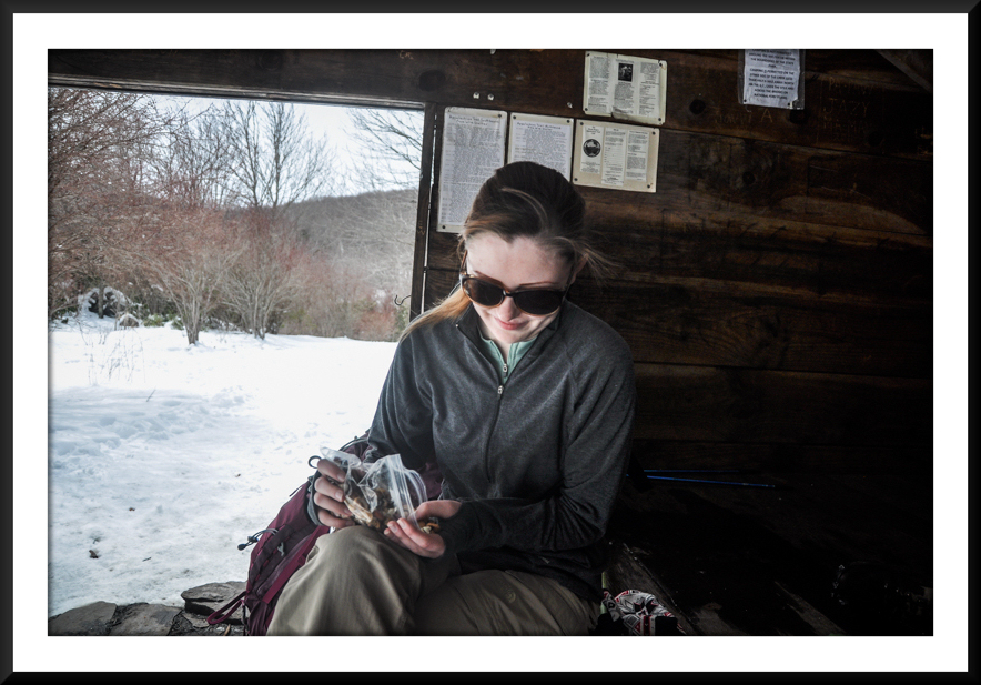
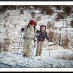
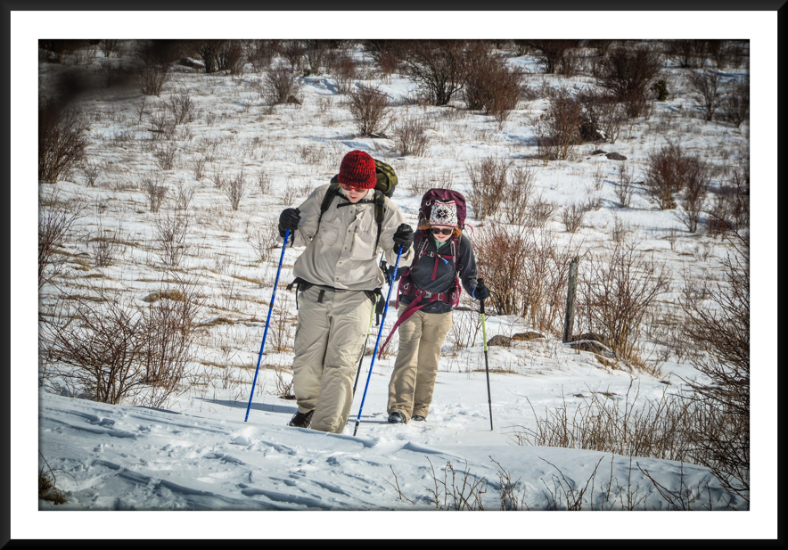
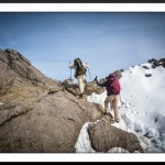
- Taylor Gearing Up on Day #2
-
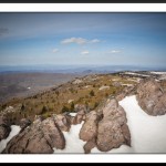
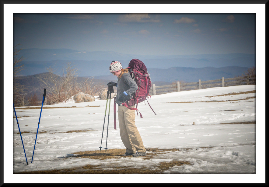
- Views from Rhododendron Gap
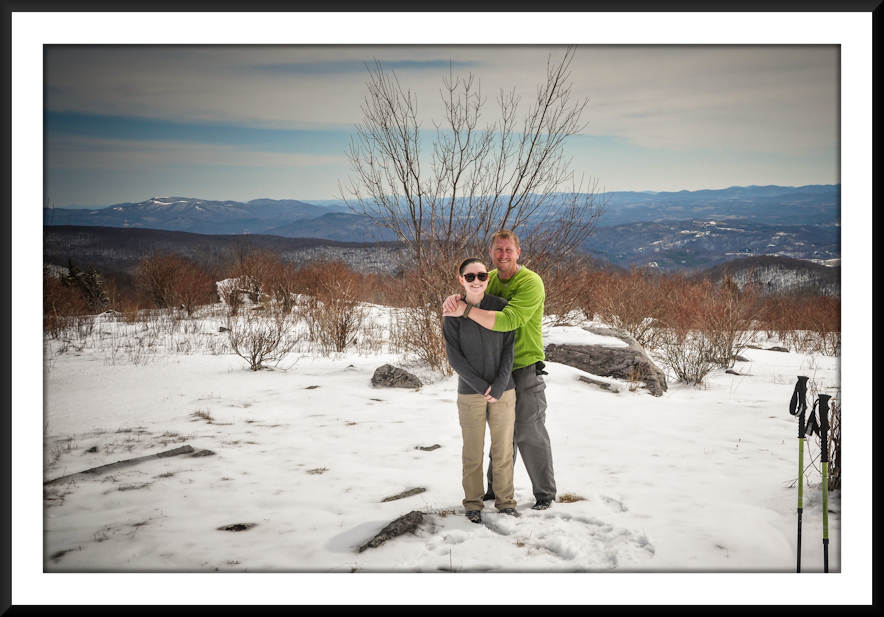
-
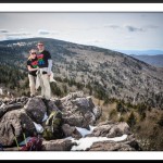
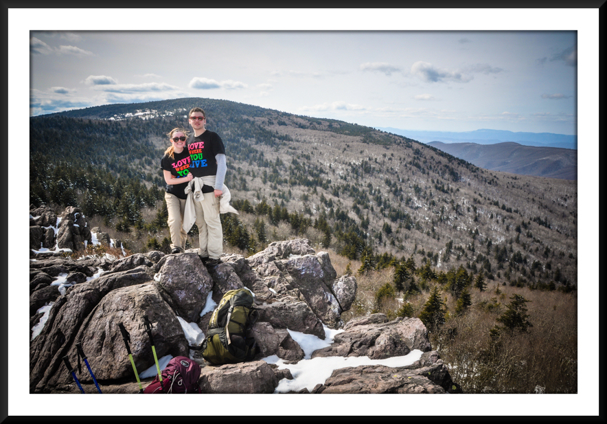
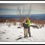
- Tay and Cameron with Mount Rogers in the Background
-
- Climbing Up to Wilburn Ridge
-
- Wilburn Ridge
-
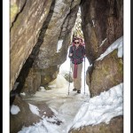
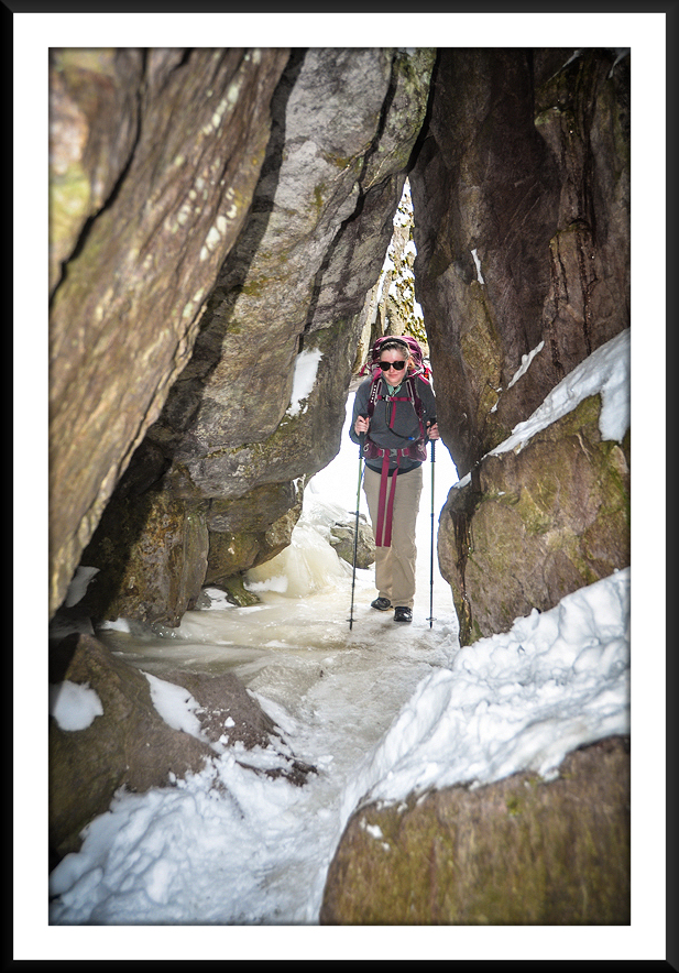
- Taylor in the “Fatman Squeeze”
-
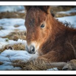
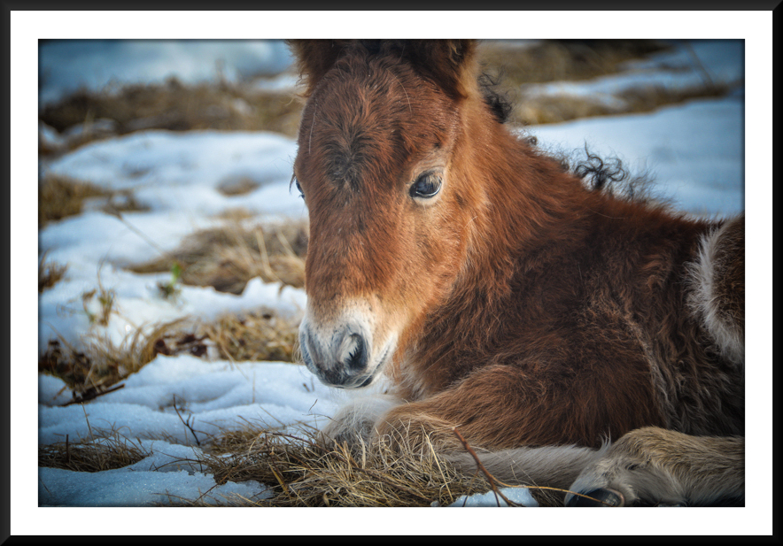
- Newborn Feral Pony
-
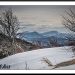
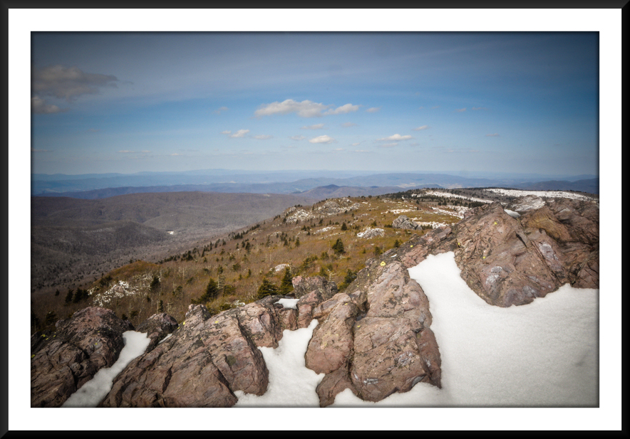
- Great Vista to End Our Trek

-
- Tay and I Near the A.T./Spur Trail Junction
|

9 Responses to Grayson Highlands Backpacking: A.T./Pine Mountain Loop