| WATAUGA
DAM ROAD TO VANDEVENTER SHELTER |
| |
|
|
|
January
21st, 2008 - I
began my first hike of 2008 around noon at the Iron Mountain Gap trailhead
(off of Watauga Dam Road), heading north on
the Appalachian Trail. The first 3/4 mile of this hike is
a difficult climb, but once you get up on top of the ridgeline
(around 3000') it levels out for a moderate
hike. |
| |
|
|
|
|
|
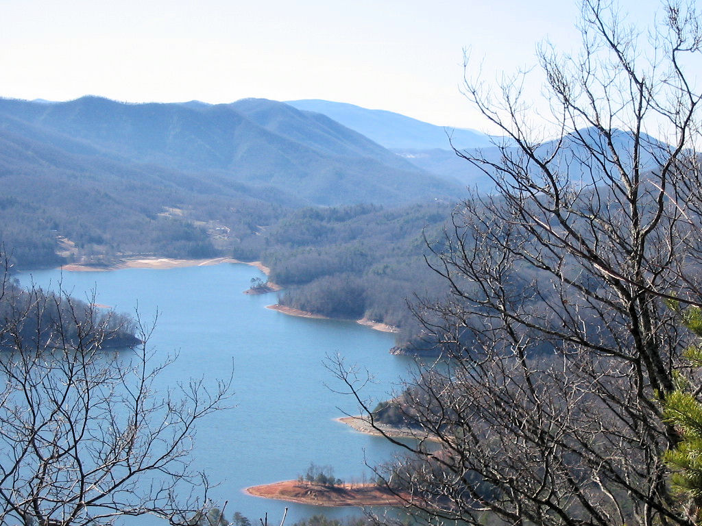
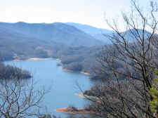
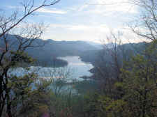
Wonderful
Views of Watauga Lake from Iron Mountain |
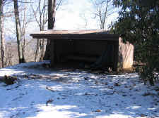
|
Vandeventer
Shelter |
| |
|
|
|
I
would recommend to take this hike in the winter due to the
wonderful views through leafless trees. The views would not
be near as abundant when the leaves are out, so try this one from
November to February. I had great vistas of Watauga Lake,
the Roan Highlands, and Grandfather Mountain for almost my entire
hike. |
| |
|
|
 |
|
 |
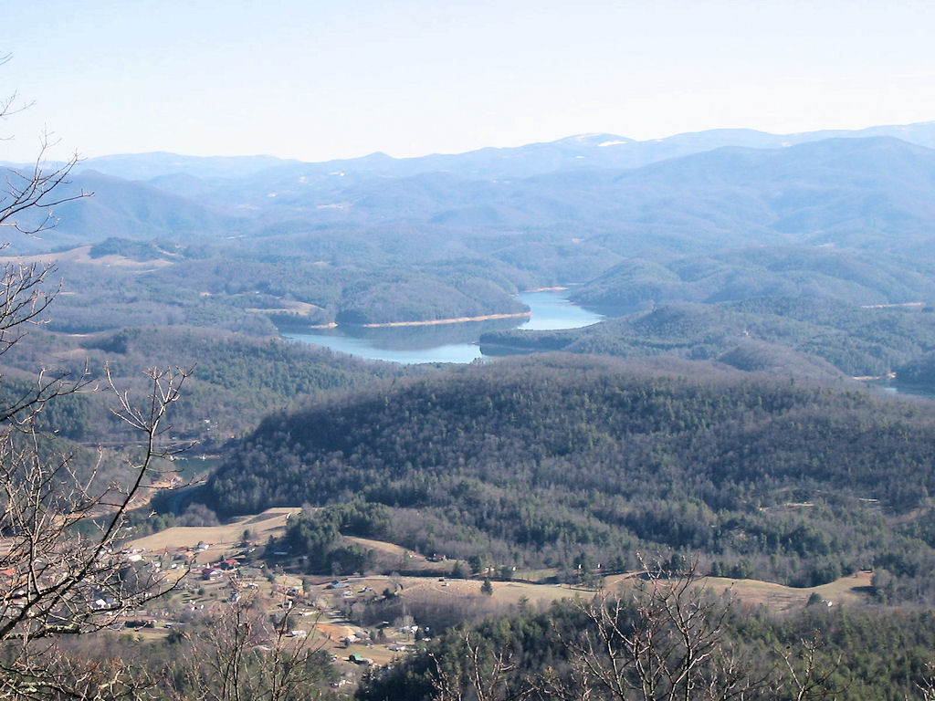
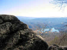
| View
from Behind the Shelter |
|
More
Views from the Shelter |
| |
|
|
|
After
4.4 miles, and quite a bit of hiking in the snow, I arrived at
Vandeventer Shelter (elevation 3620'). Behind the shelter is a
rock cliff that offers unreal views of the lake and surrounding
mountains. I hung out at the shelter for about 30 minutes...
taking photos, eating lunch, and enjoying the scenery. |
| |
|
|
 |
|
 |
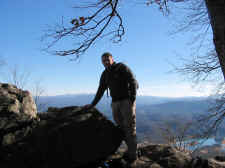
| Bill
on the Cliff Behind the Shelter |
|
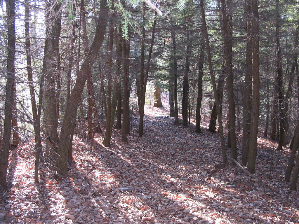
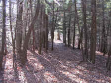
Very
Pretty Hemlock Forest |
| |
|
|
|
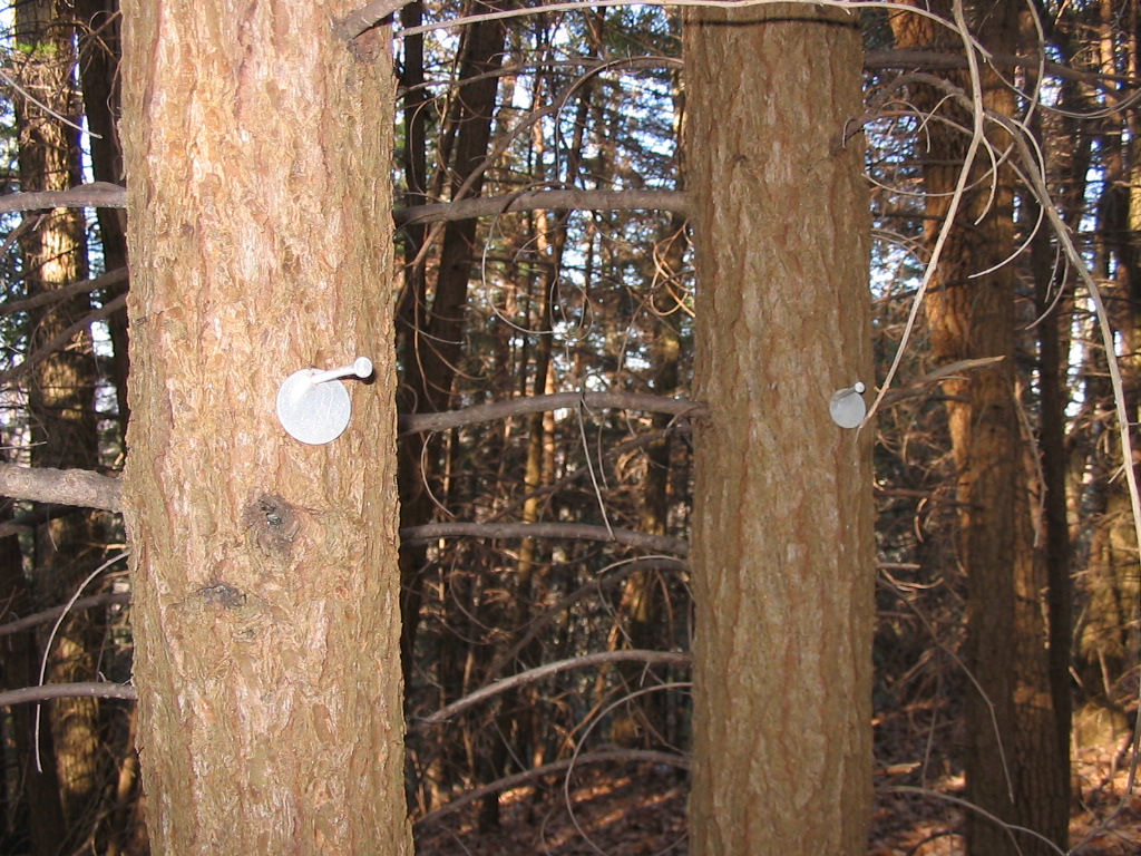
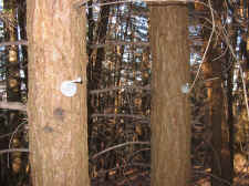
On
my descent I took a couple of photos of a pretty Hemlock forest
that was tagged for identification, which I assume is to
track of the Woolly Adelgid (insect) infestations that are taking
place and killing all of our Hemlocks. It sure is going to
be a shame to lose such beautiful and majestic
trees. |
| |
|
|
 |
|
 |
| All
the Hemlocks Were Tagged |
|
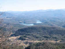
Wonderful
Views of Watauga Lake on the Descent |
| |
|
|
|
About
half way down I also ran into a really nice hiker by the name of
Mike. Mike was from Stoney Creek and said he hiked this
section of the A.T. at least once a week. He and I talked
for 15 minutes or so, and he told me about a bushwhack across an adjacent
ridge leading to the "Raven Rock" overlook (a rock cliff
overlooking Wilbur Lake). I plan on returning soon to find
Raven Rock.
I
arrived back at my car at 4:00, completing this beautiful hike in
exactly four hours.
Total
Miles Hiked: 8.8 |