|
VERMONT (Appalachian Trail &
Long Trail) - Bennington to Danby |
| |
|
|
|
July
20th-24th, 2009 - After
attending the Appalachian Trail Conservancy's biennial festival
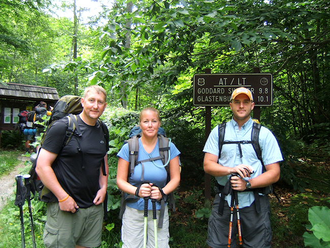
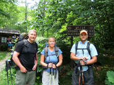
in Castleton Vermont, Shannon and I hit the Appalachian Trail at
route VT-9 near Bennington for our "honeymoon
hike" (following our July 4th
wedding). Our good
friend Jake Mitchell shuttled us by leaving my car at the
Danby-Landgrove road... 58 trail miles north of
Bennington. Not knowing what to expect from the Vermont
trails, we felt the 58 miles was a conservative distance for
our 5-day trip... boy, were we wrong!
Day
#1 (10.9 miles hiked): Shannon, Jake, and
I started about 10:30 in
the morning, and began with some tough
climbing up Maple Hill and Little Pond Mountain. We
weren't alone as we were right in the middle of a big batch of
thru-hikers for most of the day, leap-frogging each other every
time somebody decided to stop for a break. We would talk
with and see many of these same people for much of the
trip. Our
first stop of the day was for lunch at a pretty stream called
Hell Hollow Brook. From there we made our first big ascent
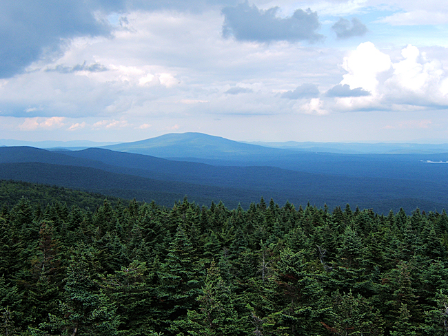
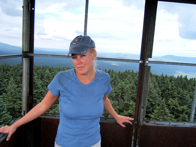
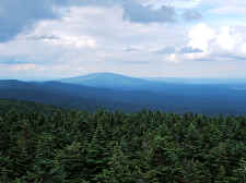
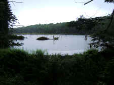
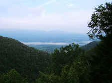
up to the summit of Glastenbury Mountain. We
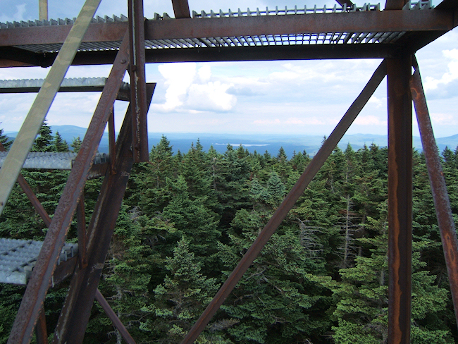
replenished our water supply, and were treated with great views
from the top of the fire tower. It was here that we also
saw our first moose tracks. We had climbed over 2500' on
this first day. |
| |
|
|
|
|
|
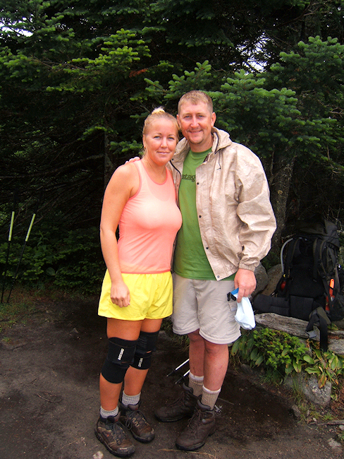
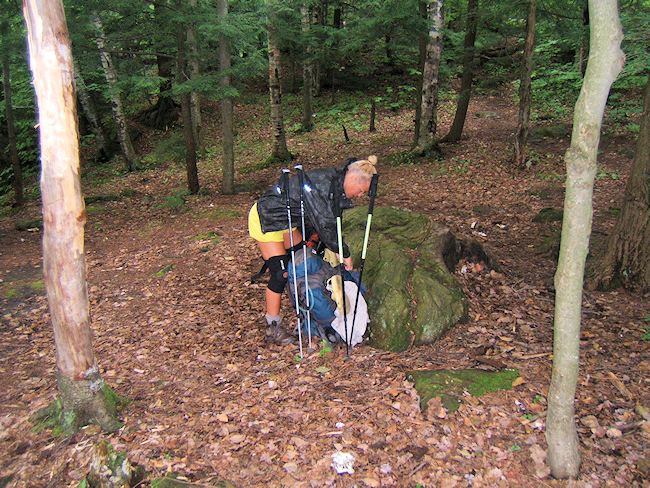
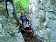
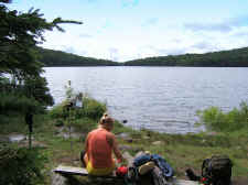
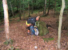
Bill,
Shannon, and Jake at Route VT-9 Near Bennington, Vermont |
|
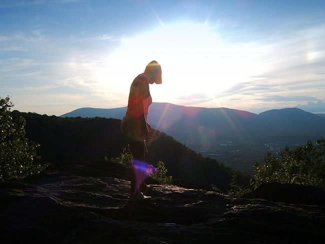
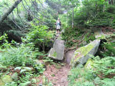
Shannon
Going Through "Split Rock" |
|
|
|
|
 |
|
 |
|
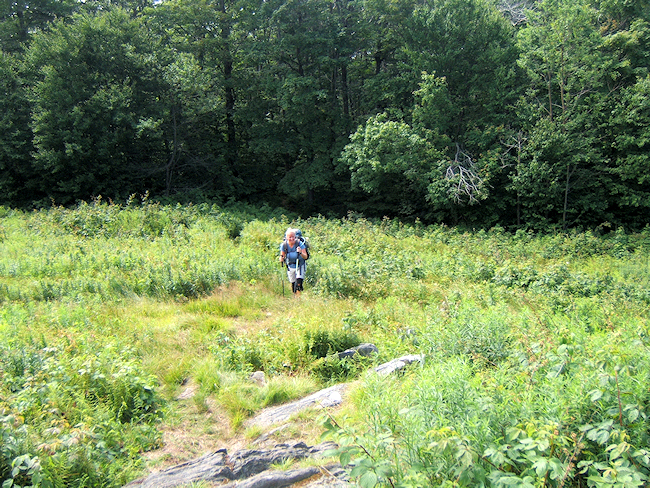
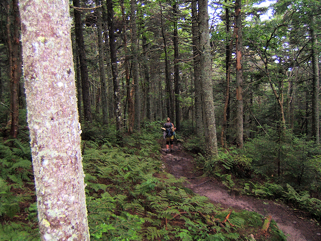
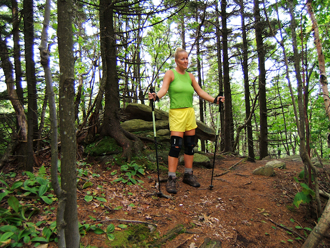
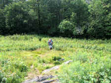
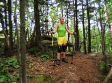
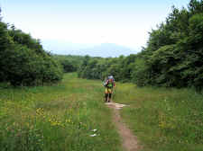
Shannon Early in the
Day, Near "Maple Hill" |
|
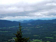
Vista
from Our First Major Summit of the Trip... Glastenbury Mountain |
|
|
|
|
|
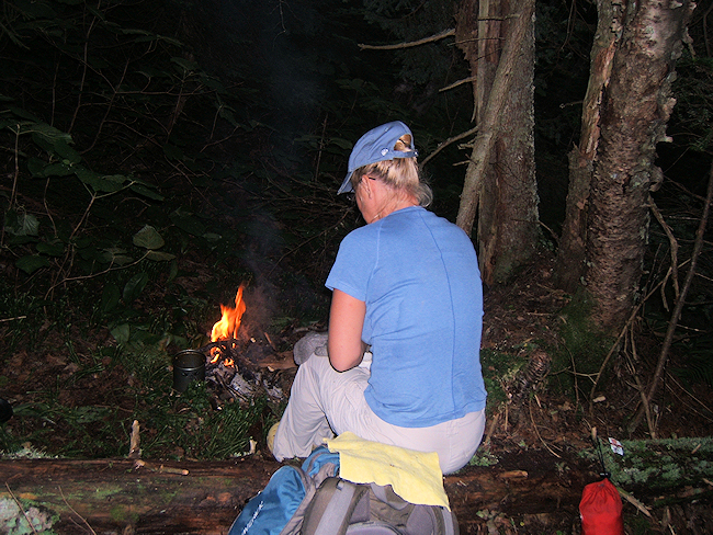
Our
initial plans were for the three of us to camp together on the
first night, but it was at the fire tower that Jake decided to
press on further. So we said our good-byes and traded
sweaty hugs. Shannon and I then descended a half mile or so from
the summit and found a small secluded campsite just off the
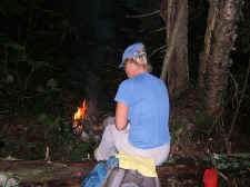
trail. We made what was to be the only campfire of our
trip (due to wet weather) and had a great
dinner. |
|
|
|
|
 |
|
 |
|
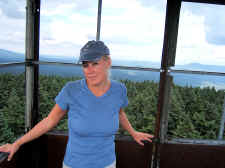
Shannon in the Fire
Tower |
|
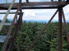
Evergreens
from the Fire Tower |
|
|
|
|
 |
|
First
Night Campsite... The Only Fire We
Had
on the Entire Trip |
| |
|
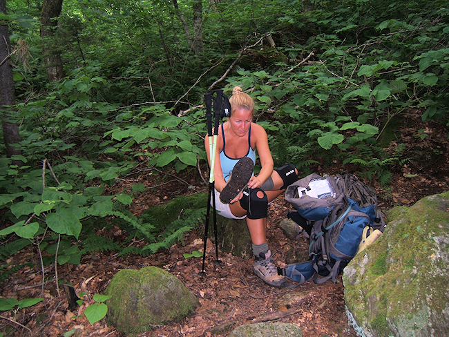
DAY 2 (10.7
miles hiked) Shannon's
Birthday! I got up a little early to make her coffee and
to get things situated so she could sleep in a little bit. When
she awoke I also gave her some chocolate and a birthday card
that I'd packed in. We got back on the trail soon after,
but unfortunately Shannon was already getting some blisters. By
late morning we had passed Kid Gore Shelter, which is where Jake
spent the night. We also re-filled our water at one of the
many streams in the area. Soon after filtering water, we
felt the first rain drops, which would continue and increase for
the rest of the day, and most of upcoming night. |
| |
|
|
 |
|
 |
| Shannon
Early on Day #2 |
|
Already
Tending to Blisters |
| |
|
|
|
At
first the rain was somewhat pleasant. It wasn't hard
enough to get us really wet, but kept us cool. However, by
the time we reached Story Spring Shelter in mid-afternoon, the
rain was becoming very hard and cold. The shelter
was already completely full so we had no choice but to keep
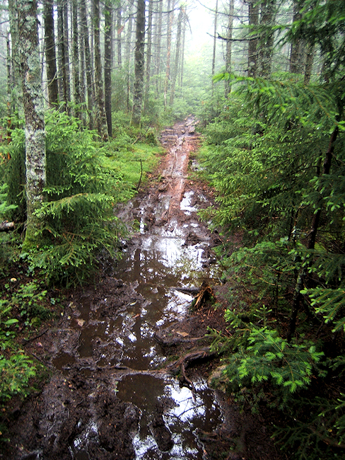
going. The next three miles or so were pure misery as the
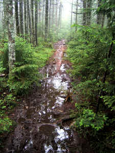
skies opened up. The trail turned to deep mud, greatly
slowing our progress (something we would deal with for the rest
of the trip).
We
finally made it to Black Brook where we found a nice campsite
right alongside the stream. We set up the tent in the
rain, and tried to keep our gear as dry as possible. I
also cooked dinner as best I could in the monsoon, and even
though it was still somewhat early in the day, Shannon and I ate and then went to sleep. It would keep raining for
most of the night. Obviously with all the rain, I
didn't take many photos on day #2. |
| |
|
|
 |
|
 |
| Hard
Rain! |
|
Black
Brook... Near Day #2 Campsite |
| |
|
|
|
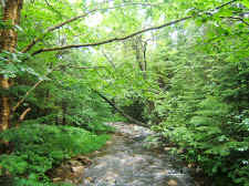
Day #3 (13.6
miles hiked): Thank God,
we awoke with no rain. But, everything was still so damp,
and the wind was blowing lots of wetness from the trees, so we
kept our raingear and covers on for most of the
morning.
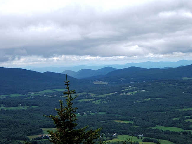
Today we would climb Stratton
Mountain... The summit from which Benton Mackaye first envisioned the Appalachian Trail while sitting in a tree top in
1921. Even though we were soaking wet from the day before,
including all our socks and boots, we had a nice morning and
easy ascent up Stratton. Unfortunately, the summit was
completely covered with clouds and fog so we had no views.
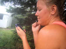
Shannon was able to get phone reception on this peak however, so
she was able to check in at home along with paying the DirectTV
bill that she'd forgotten to do before we left.
|
| |
|
|
 |
|
 |
| Shannon
Crossing Black Brook Early on Day #3 |
|
Getting
Reception on the Summit of Stratton Mountain to Make Calls and Pay Bills! |
|
|
|
|
 |
|
 |
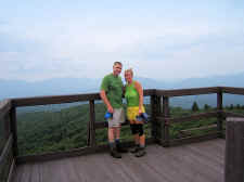
| Shannon
and Bill on the Summit of Stratton |
|
On
Stratton, With the Firetower |
| |
|
|
|
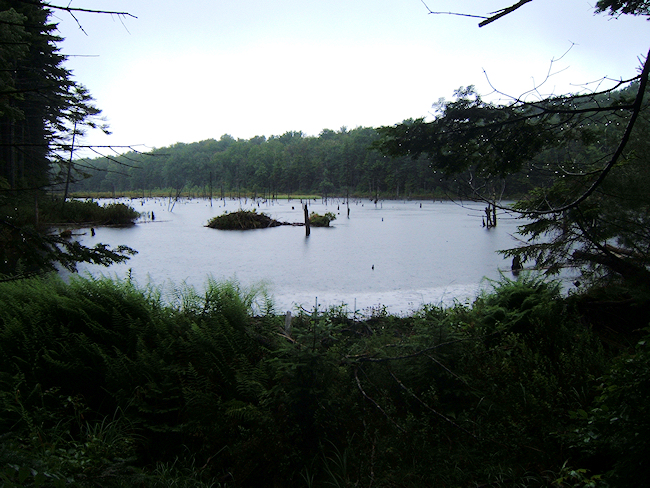
We then made our descent down
Stratton quickly, as we wanted to make up a few miles with the
pleasant weather. We reached Stratton pond by
mid-afternoon, where I tried to air out my soaking wet feet for
a few minutes. They were beginning to hurt from being wet
for so long and blisters were starting to develop. I
also had a major rash popping up on my legs that I initially
thought was Poison Ivy. However, in hind sight I think it
was just too much Deet sprayed on my legs from all the
flies and mosquitoes.
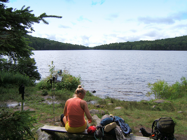
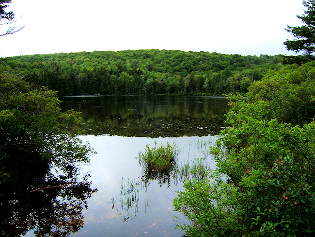
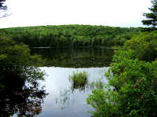
Stratton Pond would have been a wonderful campsite with such a
great view, but we needed to go further. After another 5.5
miles, and replenishing our water at a nice stream near Douglas Shelter, we
reached an overlook called Prospect Rock. This is a sheer
cliff looking west over the town of Manchester Vermont. It
was right beside a forest road (which I normally try to avoid),
but it was a nice, dry campsite after a long day of hiking on
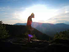
muddy trails so we stopped for the day.
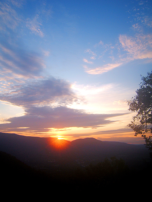
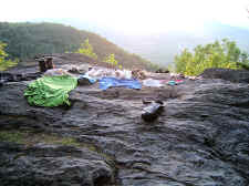
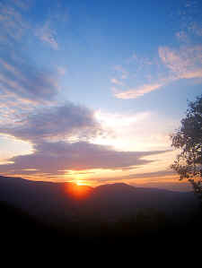
We took out all of our wet gear
and clothes and laid them out on Prospect Rock to try to dry
them out, and then Shannon and I sat on the rock and witnessed a
wonderful sunset. I have to say that this sunset was
probably my favorite moment of the entire trip. It was
beautiful.
We had a late dinner that we
cooked by headlamp. I hung our bear-bag, and we got to
bed. I slept really
well.
|
| |
|
|
 |
|
 |
| Shannon
Making a Quick Descent Down Stratton |
|
Resting
at Beautiful Stratton Pond |
| |
|
|
 |
|
 |
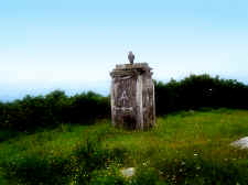
| At
Prospect Rock... Day #3 Campsite |
|
Trying
to Dry Out Clothes on Prospect Rock |
| |
|
|
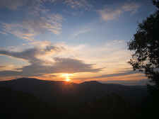 |
| Amazing
Sunset |
| |
|
|
 |
|
Another
of the Sunset at Prospect Rock |
| |
|
|
|
DAY 4 (13.1
miles hiked): The wind seem
to blow most of the night on the Prospect Rock ridge, and even
though we had our clothes hanging on tree limbs, everything was
still wet in the morning. I was disappointed that I had to
put my feet in wet socks and boots again. By this point
Shannon and I both were just duct taping our blisters, which was
the only thing that would hold in soaking wet socks.
I made our coffee and we got an
early start back on the trail. By late morning we had made
the side trail to Spruce Peak. We took off our packs and
took this short trail, which had a couple of tough scrambles to
reach the rocky summit, but rewarded us with nice views
overlooking Manchester.
The
following 2.5 miles after Spruce Peak, which was mostly a steep,
rocky, muddy descent, was very tough on me. Shannon and I
both had been hiking in wet socks and boots for two days and the blisters were getting bad. My feet were also simply starting
to burn with every step... just from being wet for so long.
And Shannon's knees were beginning to wear on her from the
descent, so we were traveling slowly. When we reach VT-11
around noon (the road to Manchester), I took off my boots and was
shocked at how my feet looked and felt. We had
hiked 40 tough miles, and I was just about ready to catch a ride
into town and call it quits. But Shannon urged me to keep
going, and since I knew she was hurting as much or more than me,
there was no way I could quit. So we continued across the
road and began our ascent up Bromley Mountain. |
| |
|
|
 |
|
 |
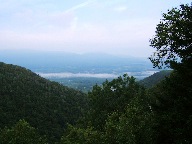
| Early
in the Morning, Looking Over the Town of Manchester Vermont |
|
Shannon Packing Up |
| |
|
|
 |
|
 |
| Shannon
on the Summit of Spruce Peak |
|
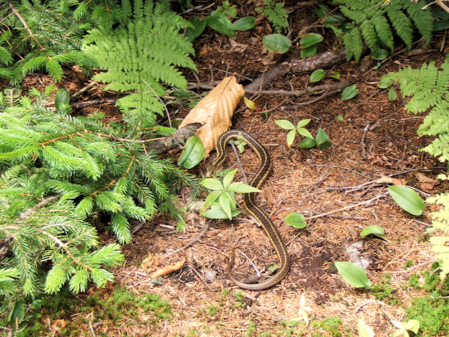
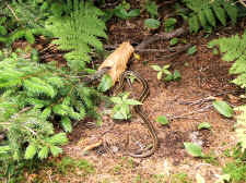
The
Only Snake We Saw, at an Overlook Near the Summit of Bromley Mountain |
| |
|
|
I
don't know why, but climbing a mountain for me is much easier than
descending. It's not easier physically, but it's easier for
me mentally. Maybe it's the thrill of reaching a summit, or
the wonder of what's on top, or just some gratification of a
physical accomplishment... I'm not exactly sure, but climbing Bromley
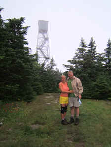
gave me a second wind and I was glad Shannon had pressed me to go on. Near
the summit of Bromley the AT/LT goes directly up the Bromley ski
slopes. My photos don't portray how steep these climbs are,
but they are tough. When we reached the top, we had amazing
views in all directions with wildflowers in bloom in the open
fields. We then climbed the ski slope observation tower
for even more grand vistas. After
our descent we made it to the road at Mad Tom Notch where we got
water at a hand pump from a well. We ran into some
south-bounders here and they informed us that the rain was coming
soon. It was getting a little late in the day, but we decided to
go a little further before stopping, so we starting climbing
Styles Peak. This climb was straight up and very tough,
especially with it being near the end of the day. No switchbacks
here... just straight up! We reached the summit (3395') and realized
that the weather was turning fairly quick. There was a nice
campsite on top of Styles Peak, but we were too afraid of staying
up high with rough weather, so we continued down into the gap
between Styles and Peru Peak. When I saw a rare flat spot on
the side of the trail, we called it a day. We
set up the tent, and warmed up some water for our Ramen noodles
that we ate inside. Both of us were completely spent.
I think it rained most of the night, but we stayed warm and
dry. |
| |
|
|
 |
|
 |
| Very
Steep Ascent Up a Ski Slope, Nearing the Summit of Bromley |
|
Bill
and Shannon on the Observation Tower on the Bromley Summit |
| |
|
|
 |
|
 |
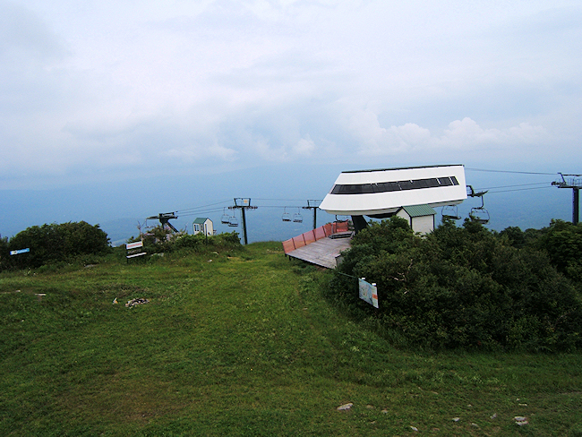
| Bromley
Ski Lifts |
|
Old
Ski Lift Marking the A.T. Directions |
| |
|
|
 |
|
MUD...
This Was Typical of Almost the Entire 58 Miles
Day
#4 Campsite Was Just Off the Trail Near Here |
| |
|
|
|
Day #5 (9.7
miles hiked): We awoke with wet conditions
after a night of rain, but got packed up and back on the trail reasonably
early. I think we were both excited about seeing my little red car at the end
of the day. We
climbed Peru Peak and got no views again due to the cloudy, foggy
weather. After descending we went by Peru Peak Shelter, refilled
water, and then worked our way down to Griffith Lake, which was a pretty
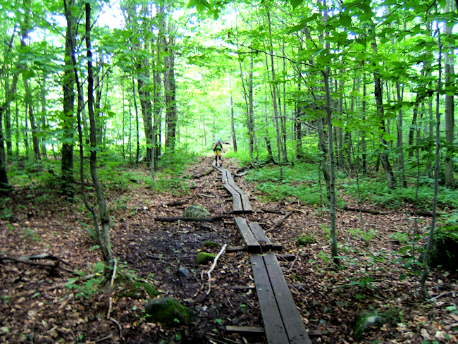
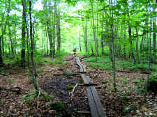
area with lots of puncheon bridges. By the way these puncheons were
everywhere in this entire hike, but very slick. So, even though they
got you up off of the muddy trail, you still could not make up time as you
had to pay close attention to your every step. Our
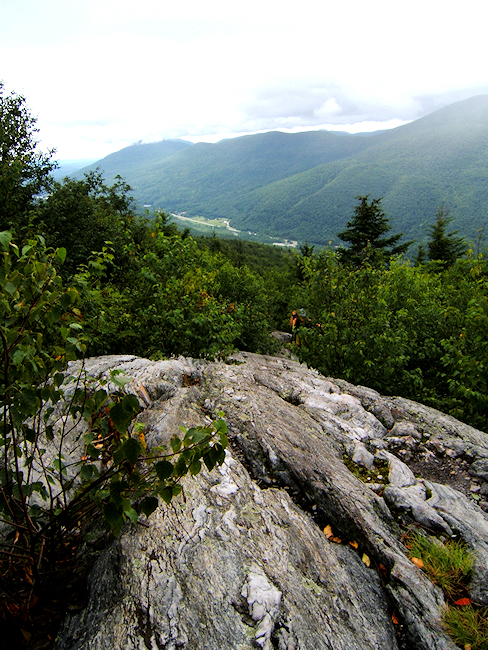
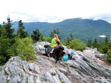
last climb of the trip was Baker Peak... and it was my favorite
summit. To make the final half-mile ascent we had to navigate a steep
rocky ridgeline at approximately a 45 degree angle. It was a tough
scramble but almost every advancing step gave beautiful opening views of
the surrounding mountains as the skies were beginning to clear as well. Shannon and I stopped at the summit for
lunch and to enjoy the vistas. At one point an airplane flew by us at
a much lower elevation than where we were. |
| |
|
|
 |
|
 |
| Near
Peru Peak Shelter |
|
Griffith Lake |
| |
|
|
 |
|
 |
|
Shannon Getting Ready to Make
the Final Climb |
|
Shannon (barely visible) Making
the Tough and Steep Scramble Up Baker Peak. |
| |
|
|
 |
|
 |
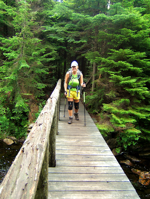
| One
of Many Slick Puncheon Bridges That We Crossed |
|
Views
from Baker Peak |
| |
|
|
|
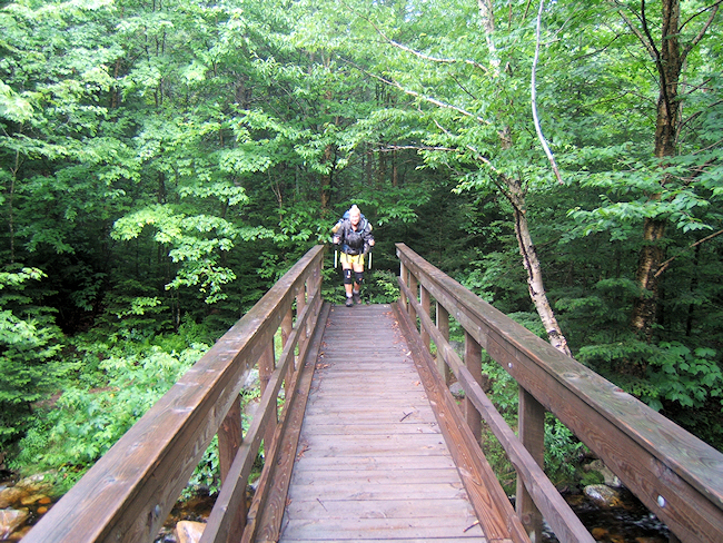
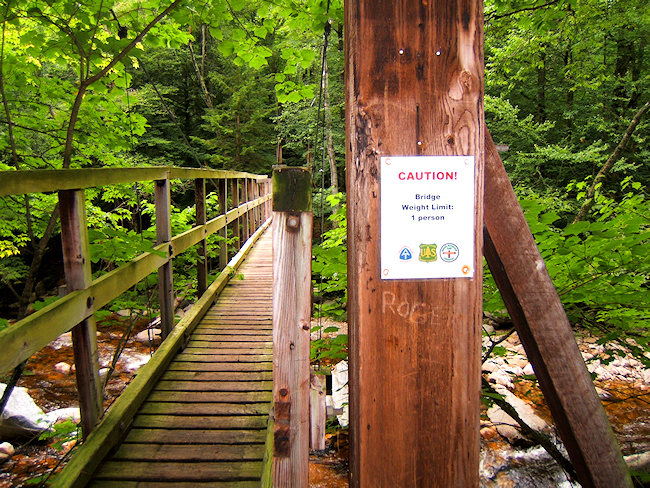
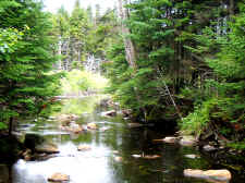
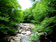
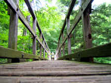
From
Baker Peak it was all downhill to the car. The Big Branch stream and
suspension bridge was a nice site as we knew we were getting close.
When we reached the car at the Danby-Landgrove road there was no doubt we
had both accomplished the toughest 58 miles of Appalachian Trail that we'd ever
done. |
| |
|
|
 |
|
 |
| Shannon
on the Summit of Baker Peak |
|
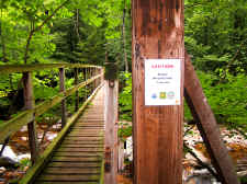
Suspension
Bridge Over "Big Branch" |
| |
|
|
 |
|
 |
| Big
Branch... Near the End of the Trip |
|
Shannon
Crossing the Last Bridge |
|
|
|
|
|
Some other facts and
thoughts about our trip: -
The Long Trail, which traverses the state of Vermont from north to south, is
the oldest long distance hiking trail in the U.S. It is shared with
the Appalachian Trail in the southern part of the state. All of our
trip was within this shared section, which means we also hiked 58 miles of
the historic Long Trail! -
You usually think about food, shelter, and water being the primary
requirements, but I now rank dry feet very high on the list too! Our
feet were wet for four straight days. -
Shannon and I carried about 16-18 lbs. of food for this 5 days trip. I
estimate that our ending pack weights were at 25 lbs. (Shannon) and 35 lbs.
(me). - We
carried 35 degree sleeping bags, reducing a pound of weight each from our
cooler weather bags. This was a good choice as we stayed warm. -
We had a different insect bombard us each night on the trail. Night #1
was flies, night #2 was mosquitoes (even in the rain!), night #3 was
granddaddy longlegs, and night #4 was slugs and snails. I carried a
bug net, which I did use to cook dinner on night #2. -
We got to see and hike on some of the oldest trail systems in the U.S. while
also seeing numerous old, historic shelters. -
Shannon and I can normally hike close to 2 miles per hour, but with the
tough conditions we were averaging closer to 1-1.5 miles per hour.
Meaning... These ~12 mile days were taking us most of the day to complete. -
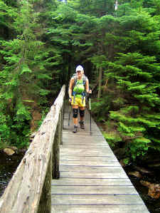
We could not have accomplished this hike without trekking poles.
Neither Shannon nor I fell the entire 58 miles, which is unbelievable
considering the mud, terrain, slick puncheons, and wet rocks. |
|
Total Miles
Hiked: 58.0 |
|
Hike
Rating -
Bill's
Overall Rating:
Distance:
58.0 miles
Difficulty:
VERY DIFFICULT
Type:
Continuous
Vista
Rating:
Waterfall
Rating: NONE
Water
Crossings: numerous EASY to MODERATE Scrambling/Climbing:
many EASY to MODERATE, a few DIFFICULT Hazards:
open bridges, slick puncheons, slippery slopes, very steep areas and steps,
some rock scrambling (some requiring handholds), avoidable cliffs
Significance:
Appalachian Trail, Long Trail, Historic shelters (12), County Highpoint
(Stratton Mountain 3940' - Windham Co. VT) Recommendation:
Advanced Backpack
Click
here for hike rating reference guide.
|
Copyright © 2007
All Right Reserved. All Images, Logos, and Photos are the
property of
HikingBill.com
or
Bill Fuller Photography |