|
CARVERS GAP TO
INDIAN GRAVE GAP (Appalachian
Trail) |
| |
|
|
|
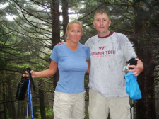
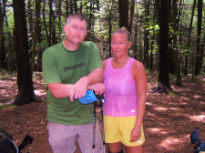
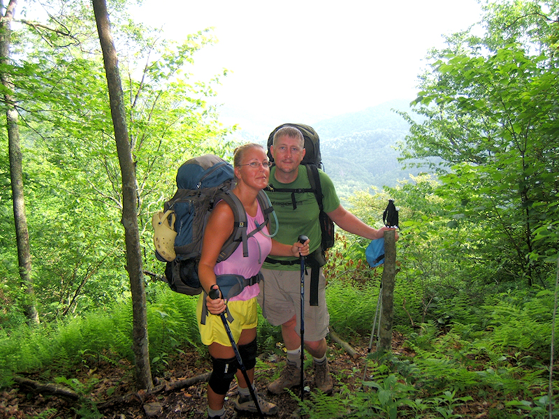
June 5th-7th, 2009 -
Shannon and I had another fun
backpacking trip with our friends Amy and Erick! This time
we took a 3 day, 2 night trek from Carver's Gap (near Roan
Mountain) to Indian Grave Gap (near Erwin, TN). This was a
southbound hike on the Appalachian Trail... approximately 26
miles.
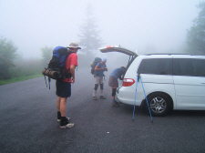
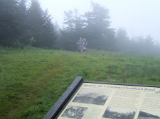
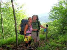
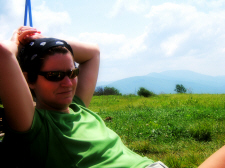
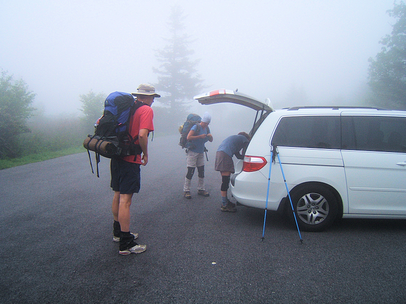
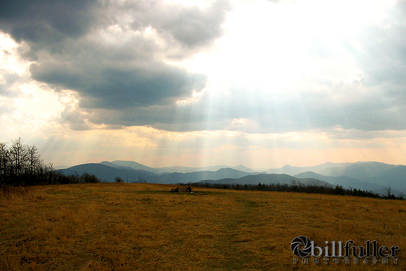
We started with chilly weather at
Carver's Gap late Friday afternoon, and had a wet and misty hike
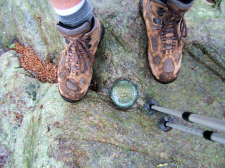
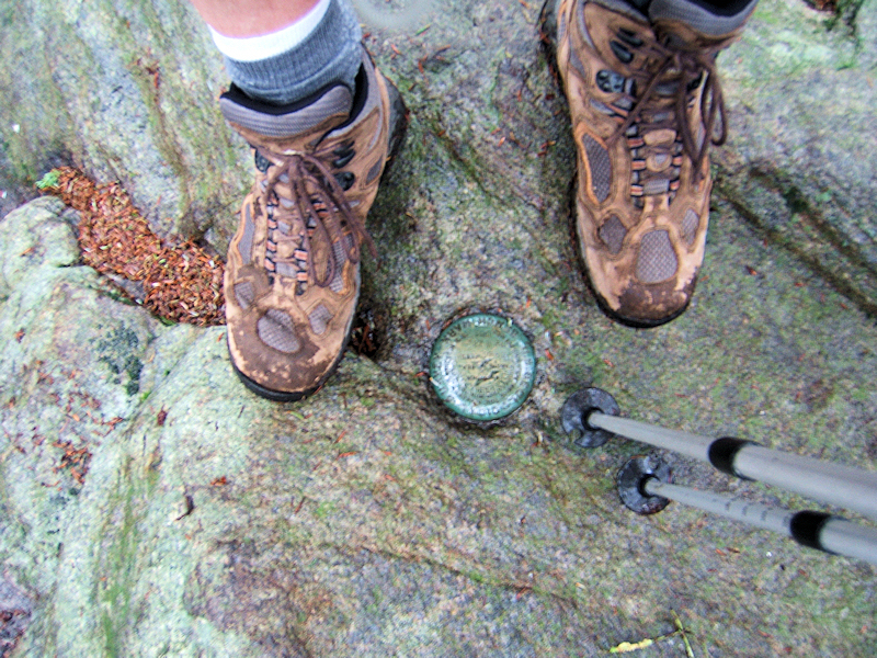
across the mountain. We made the summit of Roan (elevation
6285')
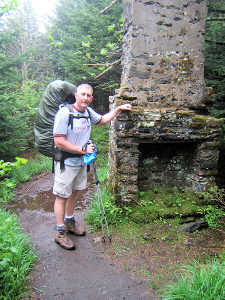
where we took a little break, and then kept going to the old
Cloudland Hotel site (for interesting historical info
on the hotel, read more here). From there we descended down to Ash Gap where we
set up our tents and had a pleasant first night. Even with
the extremely wet conditions, "Eagle Scout Erick" was able to get
us a good fire started.
We hiked 3.0 miles on day #1. |
| |
|
 |
|
 |
|
Starting in the Rain & Clouds at Carver's Gap |
|
Bill's Boots at the 6285'
Benchmark on Roan Mountain |
|
|
|
|
 |
|
 |
|
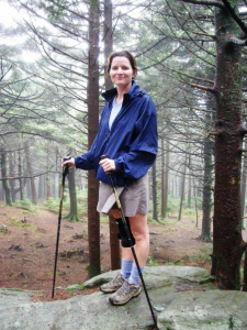
Amy on the Summit of
Roan |
|
Bill at the Old Chimney
Near Cloudland |
|
|
|
|
 |
|
 |
|
Shannon & Bill on
Roan's Summit |
|
Shannon and Amy Hike
Into the Old Cloudland Hotel Site |
| |
|
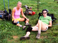
DAY 2: We
woke up with sunshine on Saturday morning, packed up, and then
made the steep and muddy descent down Beartown Mountain to
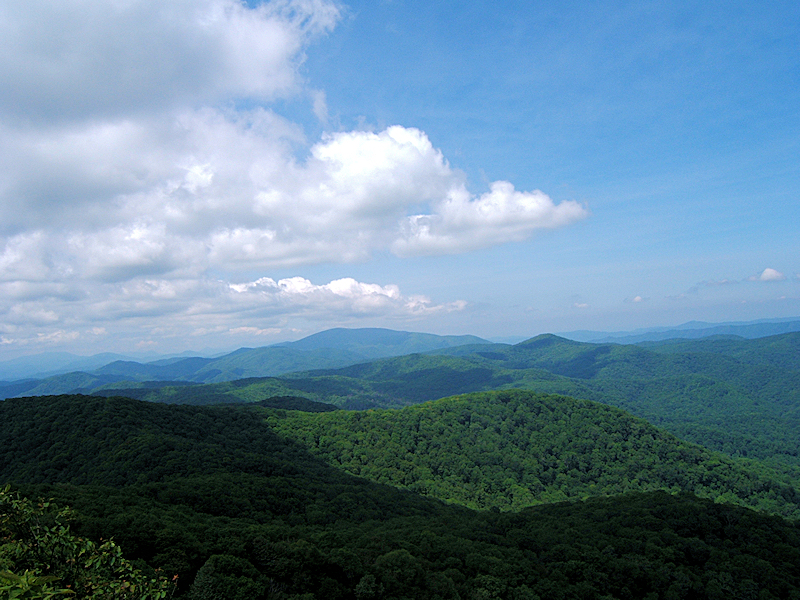
Hughes Gap. From there we climbed up to Little Rock Knob
(elevation 4918') where we stopped for lunch, and to enjoy the amazing views from
this sheer cliff overlook. |
| |
|
|
 |
|
 |
|
Sunny Morning at Ash
Gap |
|
Shannon and Amy Arrive
at Hughes Gap |
| |
|
|
 |
|
 |
|
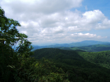
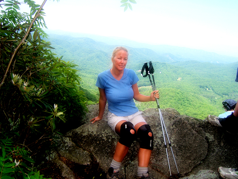
Amazing Views from
Little Rock Knob |
|
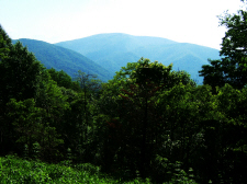
Unaka Mountain in the Far
Right -
Tomorrow's Destination |
| |
|
|
 |
|
 |
|
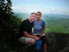
Shannon at Little Rock
Knob |
|
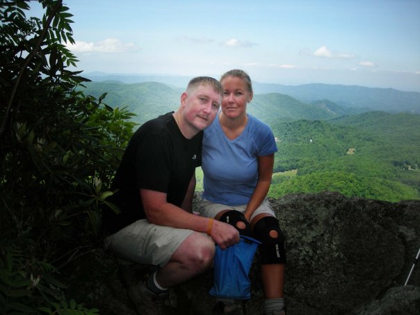
Bill and Shannon |
| |
|
|
 |
|
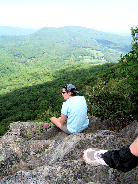
Amy Checking Out the
Nice Views |
| |
|
|
|
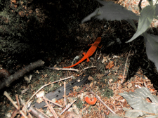
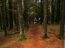
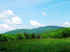
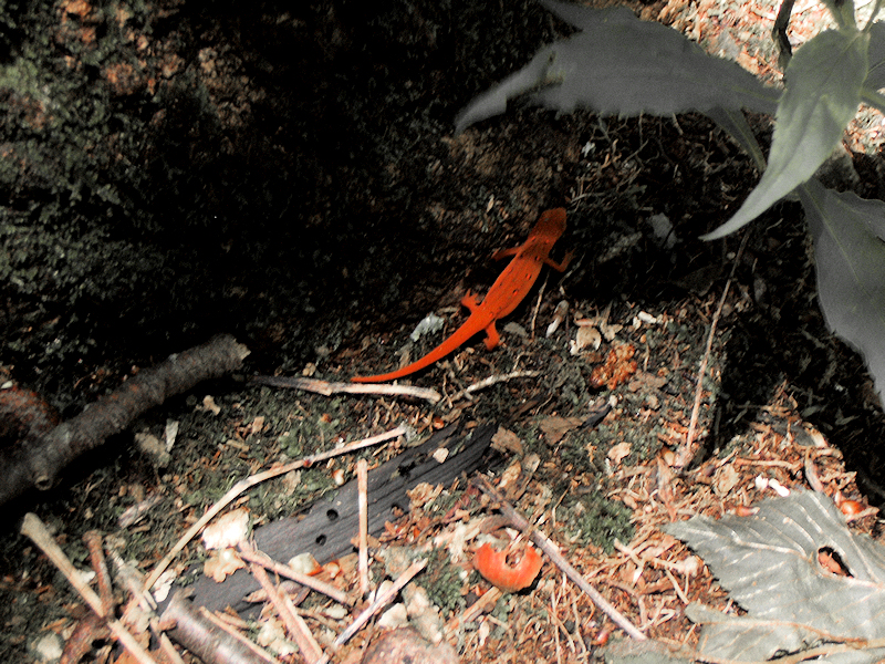
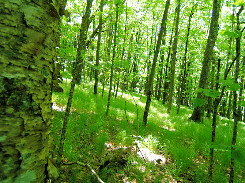
From Little Rock Knob, we
descended down into Greasy Creek Gap, where we passed Clyde
Smith Shelter. I felt the forests in this area
where very pretty with thick green grass. We saw lots of
red efts, bird nests along the trail, wildflowers, and a deer almost ran
right up on top of me.
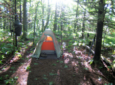
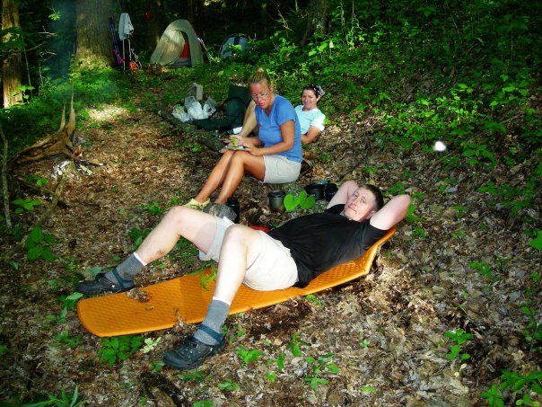
Eventually we made it to the
old orchard near Iron Mountain Gap where we refilled our water
supply. We then crossed the road at Iron Mountain Gap, and
started looking for campsites. We saw an old logging road
that was somewhat flat, and all of us were tired, so we decided
to stop.
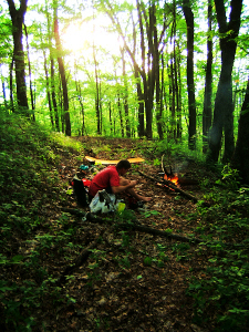
Erick again worked his magic with the
fire, and we all had great dinners with tortilla wraps. I
think we all slept well. We hiked 11.5 miles on day #2.
|
|
|
|
|
 |
|
 |
|
A Red Eft
|
|
Lush Forests Near
Greasy Creek Gap
|
| |
|
|
 |
|
 |
|
View of Unaka Mtn is
Getting Closer -
Taken Near Iron Mountain Gap |
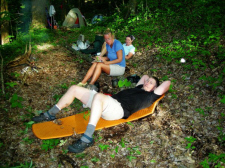
|
Tired! |
| |
|
|
 |
|
 |
|
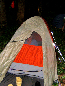
Shannon in the Tent
|
|
Erick at Our Day #2 Campsite
on the Old Logging Road |
| |
|
|
|
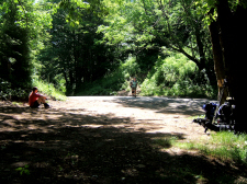
DAY 3: We got back on
the trail early on the final day and began to make our climb
across Unaka Mountain. We stopped at Cherry Gap to refill
water before our steep ascent. It was here that I just
about knocked myself out when I hit my head on the roof of the
shelter. Of course, I got plenty of laughter and little
sympathy... What a great bunch of friends I have! :-)
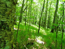
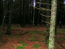
By mid-day we made the summit of
Unaka Mountain. This is one of my favorite summits in the
TN/NC area with the beautiful, thick Red Spruce forest. The sun was
bright, but inside this forest it's almost dark (see photos
below).
|
| |
|
|
 |
|
 |
|
Shannon and Bill at a Nice Overlook
|
|
Bill & Shannon at Cherry Gap
Shelter |
| |
|
|
 |
|
 |
|
Hiking on the 5180' Summit of Unaka Mtn |
|
Unaka's Eerie Red Spruce Forest
Summit |
| |
|
|
|
We had a nice lunch in an
evergreen forest just after crossing Unaka, and then made our way down the
mountain to Deep Gap, and back up again to Beauty Spot. We enjoyed the
nice views here (as the name implies), but it was a little hazy so I didn't
get any decent vista shots with my camera. Here's a couple of my
better pics from Beauty Spot from previous hikes: here
and here |
| |
|
|
 |
|
 |
|
Amy Relaxing at Beauty Spot |
|
Looking Back at Unaka from
Beauty Spot |
| |
|
|
 |
|
 |
|
Shannon and Amy |
|
The Crew, Near the End of Our
Hike |
|
|
|
|
|
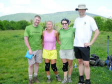
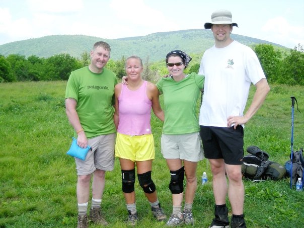
From Beauty Spot we hiked on
down to Indian Grave Gap to end our trip. We hiked 11.3 miles on day
#3. |
|
Total Miles
Hiked: 25.8 |
|
Hike
Rating -
Bill's
Overall Rating:
Distance:
25.8 miles
Difficulty:
DIFFICULT
Type:
Continuous
Vista
Rating:
Waterfall
Rating: NONE
Water
Crossings: few EASY Scrambling/Climbing:
EASY, few MODERATE Hazards:
slippery slopes, very steep areas and steps with some
scrambling (some requiring handholds), avoidable cliffs
Significance:
Appalachian Trail, A.T. shelters (3), Historical (Cloudland
Hotel site), County Highpoint (Roan Mountain - Carter Co. TN),
rare forest (Unaka's Red Spruce) Recommendation:
Advanced Backpack
Click
here for hike rating reference guide.
|


