|
May
31st - June 1st
DAY
#1 - 11.2 Miles Hiked
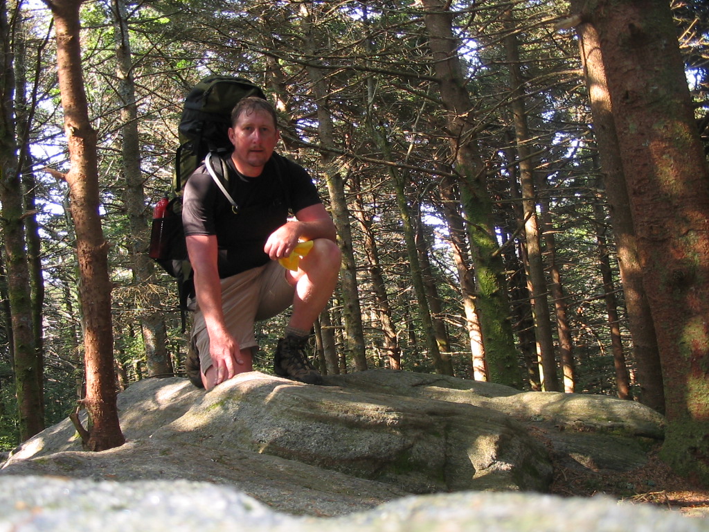
I
began this hike at Iron Mountain Gap (elevation
3723') just outside of Unicoi, Tennessee at 6:00
a.m. in the morning. Shannon was suppose to
go along on this one, but she wasn't feeling well,
so I decided to go solo and spend my last day before
turning 40 years old on the trail. Since I was
alone I had to carry more weight ... I
believe I had right at 45 pounds, which was 7 or 8
pounds more than I normally
carry.
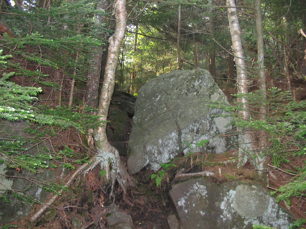
The
weather was nice and cool, and with the early start
I was able to knock out some quick miles. I
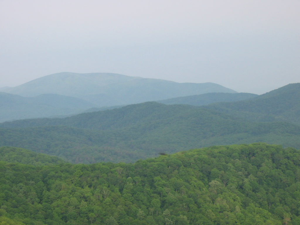
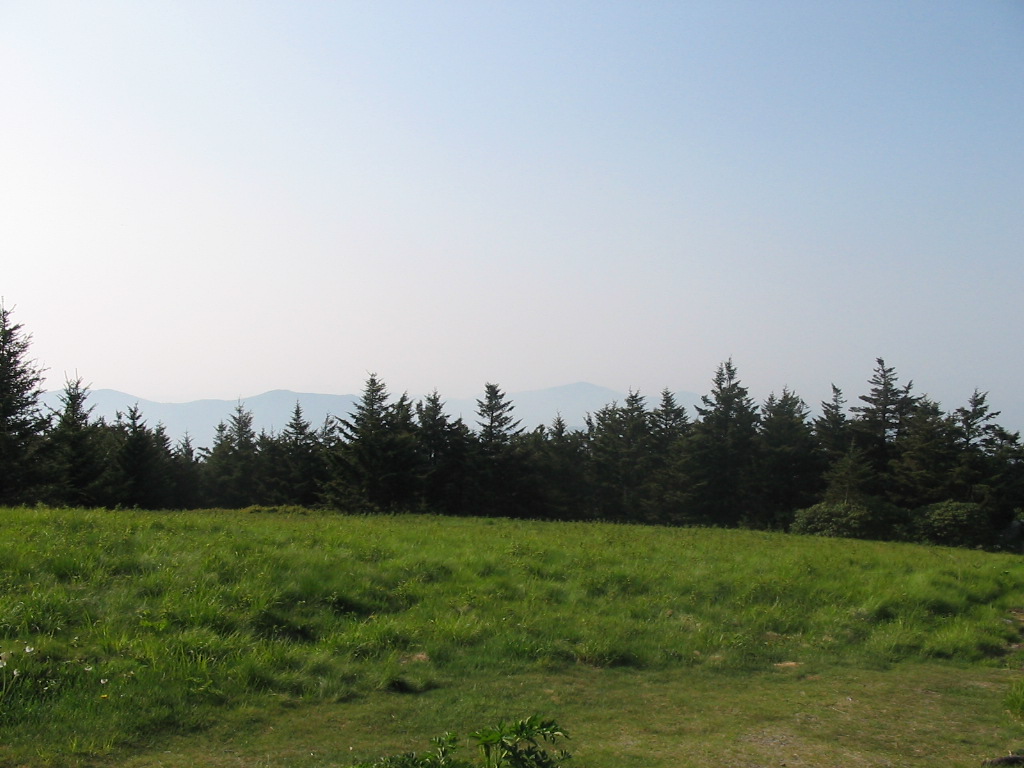
made the summit of Little Rock Knob by around 9:15
a.m. This was a sheer rock cliff at an
elevation of 4920' and the views there were
wonderful, so I stopped for a rest and a breakfast
bar.
By
10:15 a.m. I had made Hughes Gap and was already 9
miles into my hike. I was feeling great and
hoping to make many more miles, but my water supply
was very low. All three springs that I had
passed since Little Rock Knob were completely dry,
and I had less than a pint remaining for the big ascent
that I was about to make. I called Shannon to
check in, and briefly considered having her come get
me since there was a road at Hughes Gap, but I
decided to press on. I knew the climb up
Beartown Mountain was going to be tough, but I
didn't realize how tough it would be without plenty
of water...
The
ascent on Beartown has a 1400 feet elevation gain in
less than 1.5 miles. At some points, it seems
straight up. I conserved water by only taking
a drink every quarter mile (by checking my GPS
unit), but a quarter mile on this section of trail
seemed like forever. I think I got a little
dehydrated because my legs were starting to cramp,
so I went very slow and had to take a bunch of
breaks along the way. At one point I found a
big, cool, flat rock to stretch out on for a
half-hour or more. By the time I reached the
summit of Beartown (elevation 5480'), I was totally
spent, cramping, and out of water, so I knew I
wouldn't be climbing Roan today.
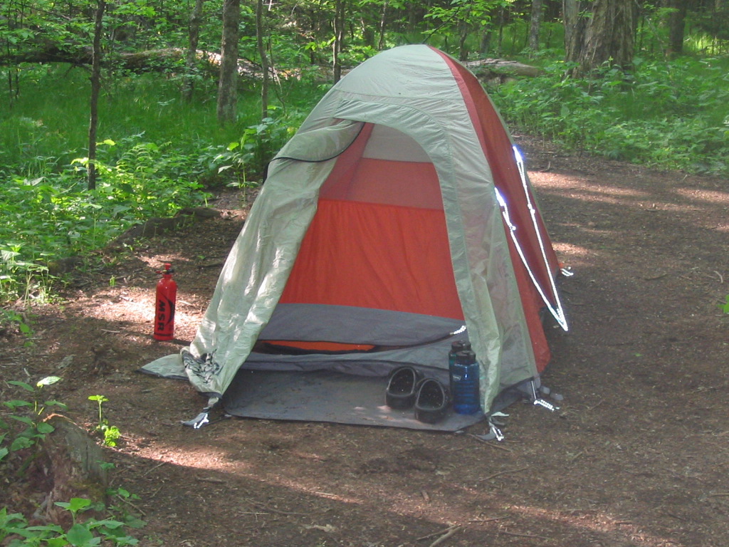
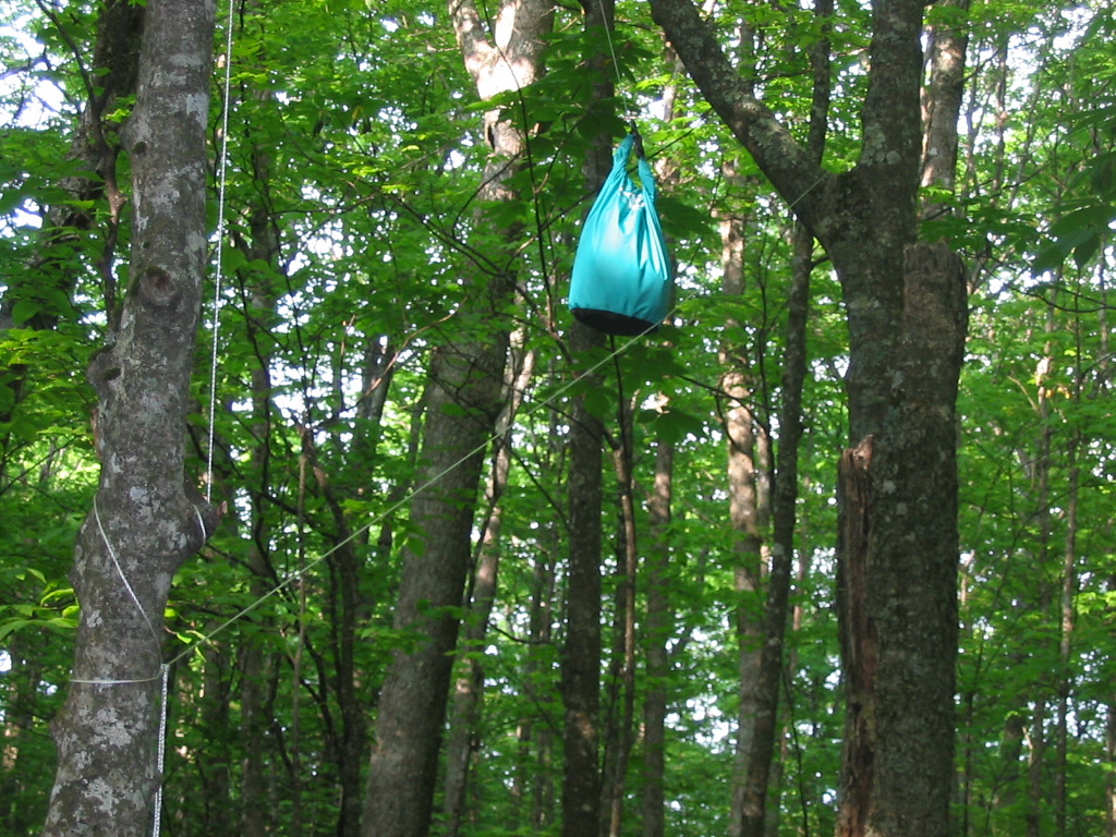
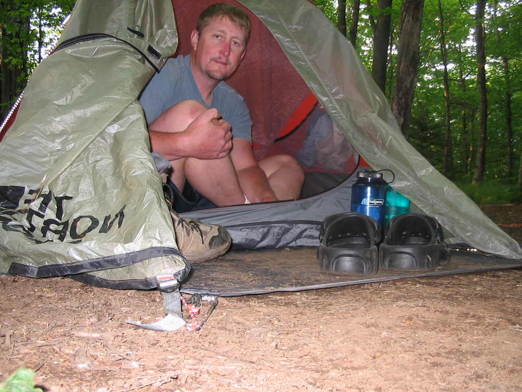
I
traveled another .5 mile down to Ash Gap where I
found and flat campsite and the most beautiful
spring I've ever seen in my life, so I decided to
call it a day. Unfortunately, as soon as I
arrived at the gap a thunderstorm hit and I had to
set up camp in the rain. But it soon cleared up, and
I had a nice evening...
I
drank a ton of water, made dinner (mac and cheese),
got settled in, and finally started to feel a little
better. Two thru-hikers also passed my camp
later that evening, which were the only two people
I'd seen all day. Both of them stopped for a
half hour or more each to talk and to re-supply
their water. I enjoyed my conversations with
them both.
At
6:00 p.m. I was in my tent reading and worn
out. By 7:00, I was asleep.
(Click
all images for larger photos)
|