.


Lower Higgins Creek Falls
     

October 5th, 2008 
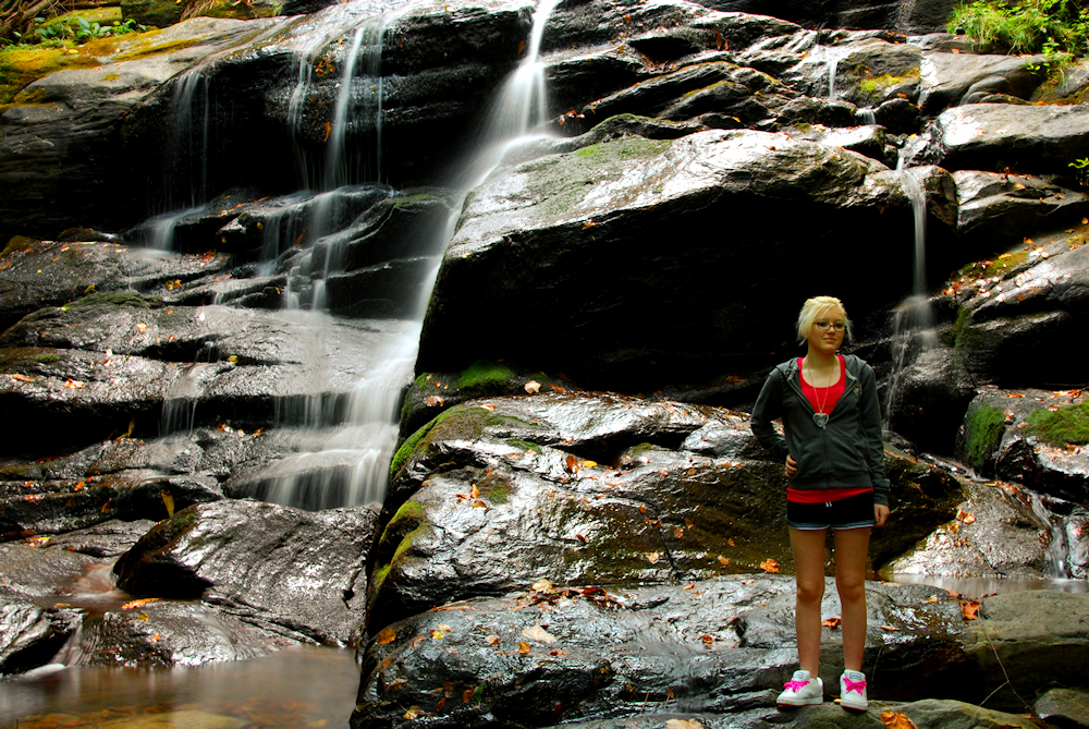
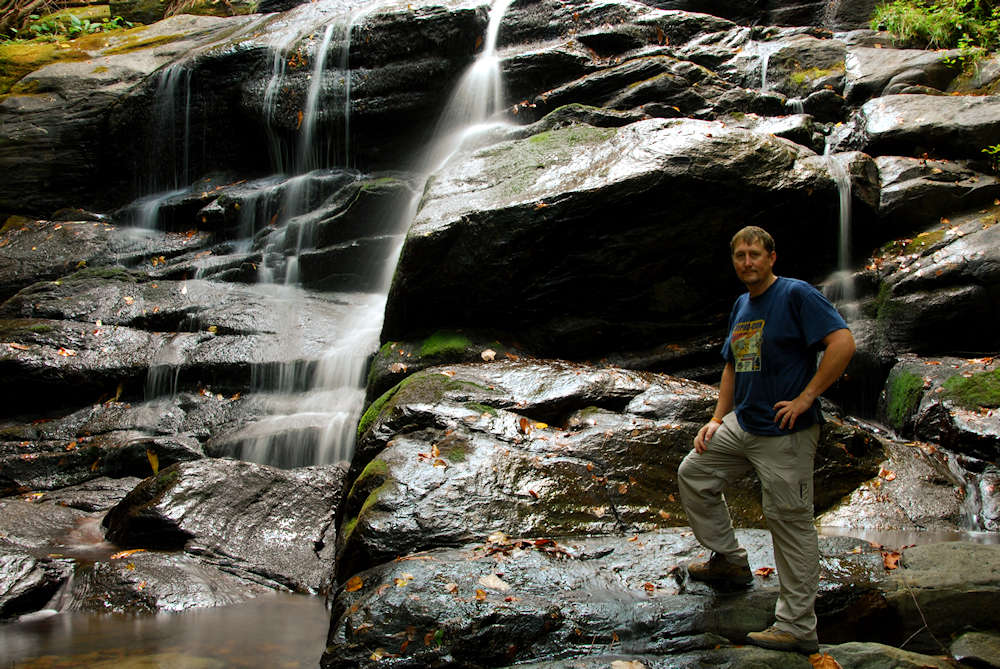
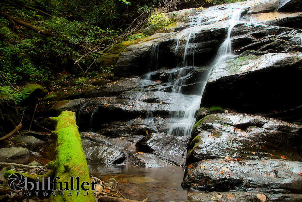
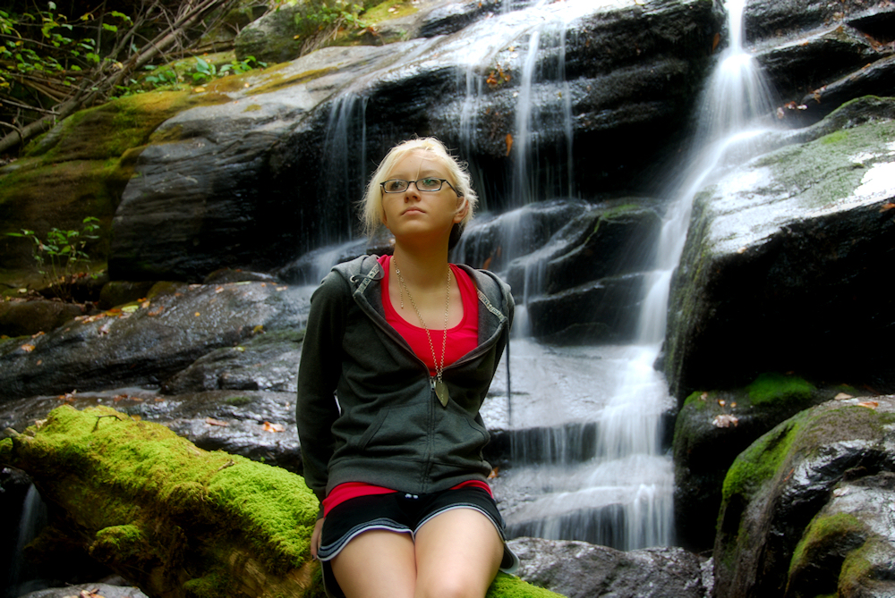
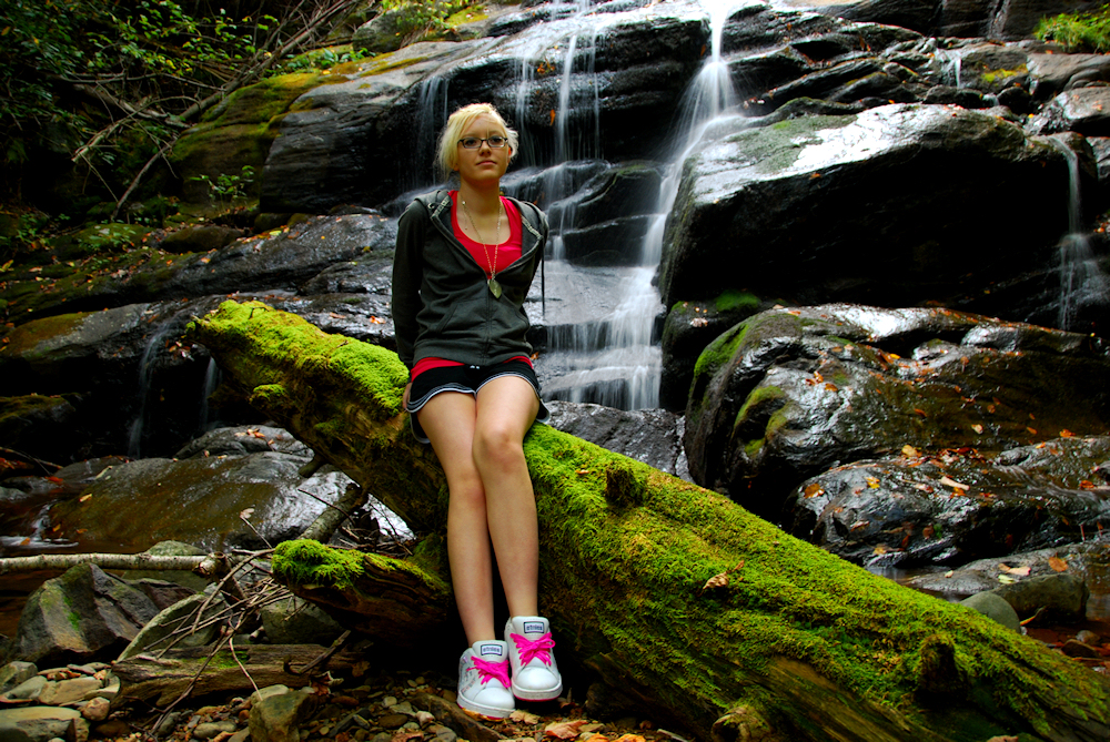
Taylor and I decided to go on a short waterfall hike, so we chose Lower Higgins Creek Falls located in the lower sections of the Rocky Fork Tract.  


Speaking of Rocky Fork, monies are still being raised to help to purchase and protect this 10,000 acres of wonderful land that is currently privately owned and threatened for development.  If you live in the State of Tennessee, you can help to fund this effort by buying a new (and very cool) Appalachian Trail License Plate.


Okay... 
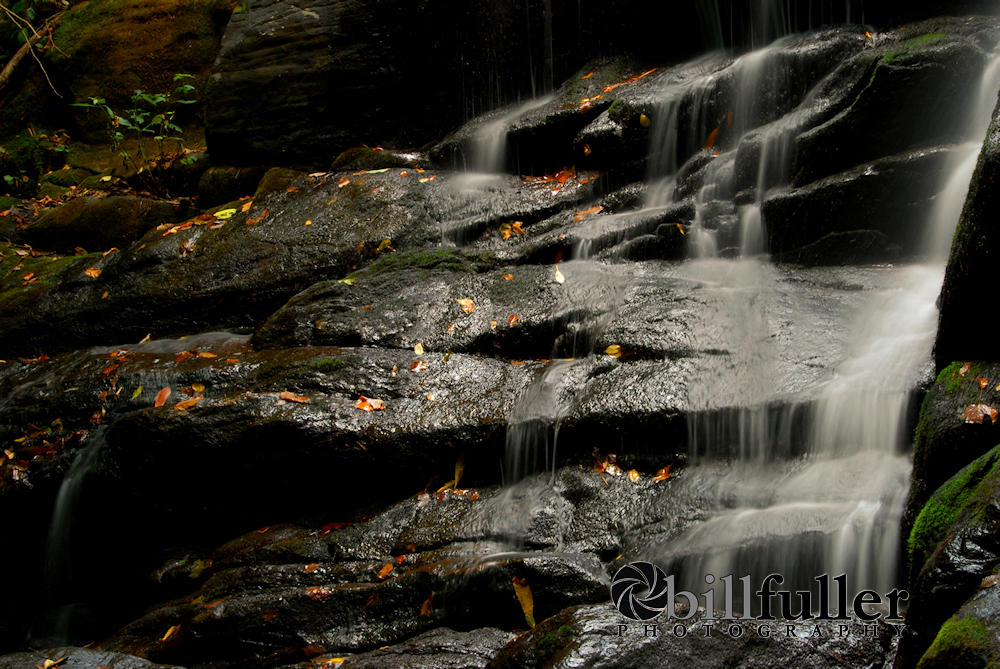
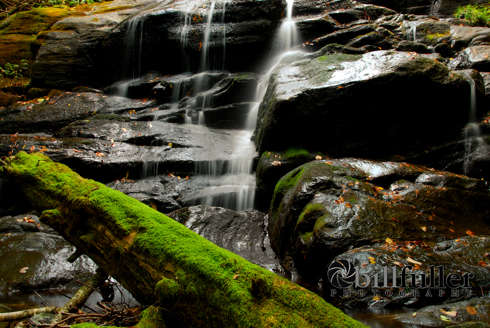
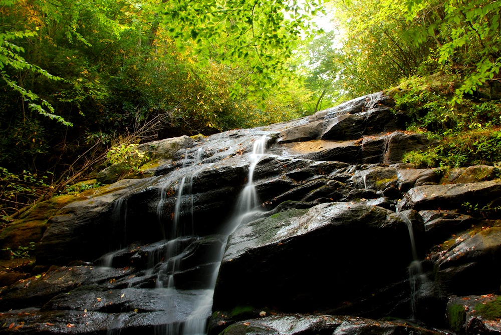
normally, Lower Higgins Creek Falls is a magnificent sight to see with tremendous flow cascading down over 100 feet.  With the severe drought conditions we've had lately, it's been reduced to almost a trickle.  See higher flow photos from earlier this year here.


Tay and I hiked up the 1.0 mile old logging road that follows the stream, and then we made the tough climb down into the ravine to the base of the falls.  We spent quite a bit of time there taking photos, and experimenting with different camera settings, and just talking and resting.  I really enjoyed our hike and time together today.                 


20081005_9.JPG (916214 bytes)


20081005_13.JPG (1091100 bytes)

Very Low Flow at Lower Higgins Creek Falls

  Normally There Would Be Too Much Water to Take Photos From this Vantage Point
     
20081005_18.JPG (1093133 bytes)   20081005_20.JPG (1097385 bytes)
Tay at the Falls    Possum Bill
     
20081005_26.JPG (1175557 bytes)   20081005_40.JPG (1253316 bytes)

Looking Up


More...

     
20081005_61.JPG (1098275 bytes)   20081005_92.JPG (850563 bytes)
Tay on a Moss Covered Log   More...
     
20081005_90.JPG (1104187 bytes)
Note the Fashionable Hiking Shoes! 
 

Total Miles Hiked:  2.0 


Getting There:  


Driving - From Johnson City, take I-26 toward Erwin, and go on past Erwin to exit #43  (Temple Hill).  Turn left at the stop sign at the bottom of the exit (your only option).  At the next stop sign turn right onto 19W (19/23).  After .75 mile, turn right onto Lower Higgins Creek Road.  Follow this road for approximately 1.5 miles until it dead-ends.  Park in the wide spot on the left.      


Trails - The trailhead will be off to your left (looking upstream) across the old bridge.  Be careful crossing this bridge... it's a little rotten in some places.  Stay on the trail following up the left side of Lower Higgins Creek for approximately one mile to get to the first waterfall (there 5 more smaller ones on upstream).  You'll have to climb down a steep embankment to get to the base of the falls.  There's a faint trail to follow down, but it is steep and somewhat slippery.       

  HOME  
  TRAIL LOGS  
  THE A.T.  
  SUMMITS  
  WATERFALLS  
  TRAIL SYSTEMS  
  BIOGRAPHY  
  MY GEAR  
  GOALS  
  CURRENT PROJECTS  
  OTHER ADVENTURES  
  OTHER INTERESTS  
  DOWNLOADS  
  RESOURCES  
  CONTACT BILL