| LOWER
HIGGINS CREEK FALLS |
| |
|
|
|
March
9th, 2008 - I
had a beautiful Sunday afternoon, so I set out on another
waterfall hunt... this time exploring the very scenic
Lower Higgins Creek area in Unicoi County.
I
parked the Jeep and then crossed an old rickety bridge where the
trail immediately began by following Lower Higgins Creek on what
seemed to be an old logging road. My GPS unit struggled
with keeping a signal in this entire area so I'm not exactly
sure of the mileage, but I believe I went about one mile before
reaching the 1st Lower Higgins Creeks Falls. The climb up
to this point was moderate except for the last couple hundred
yards, where the trail became pretty
steep.
|
| |
 |
|
 |
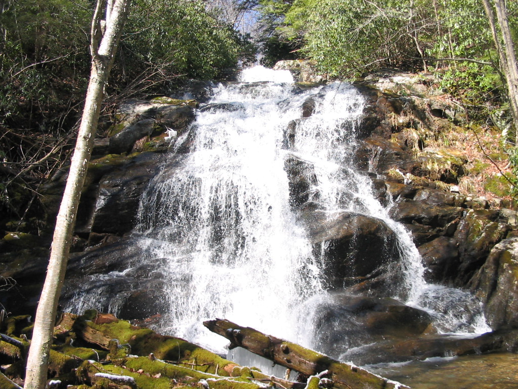
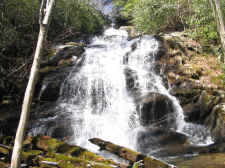
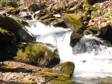
| ~100'
Lower Higgins Creek Falls |
|
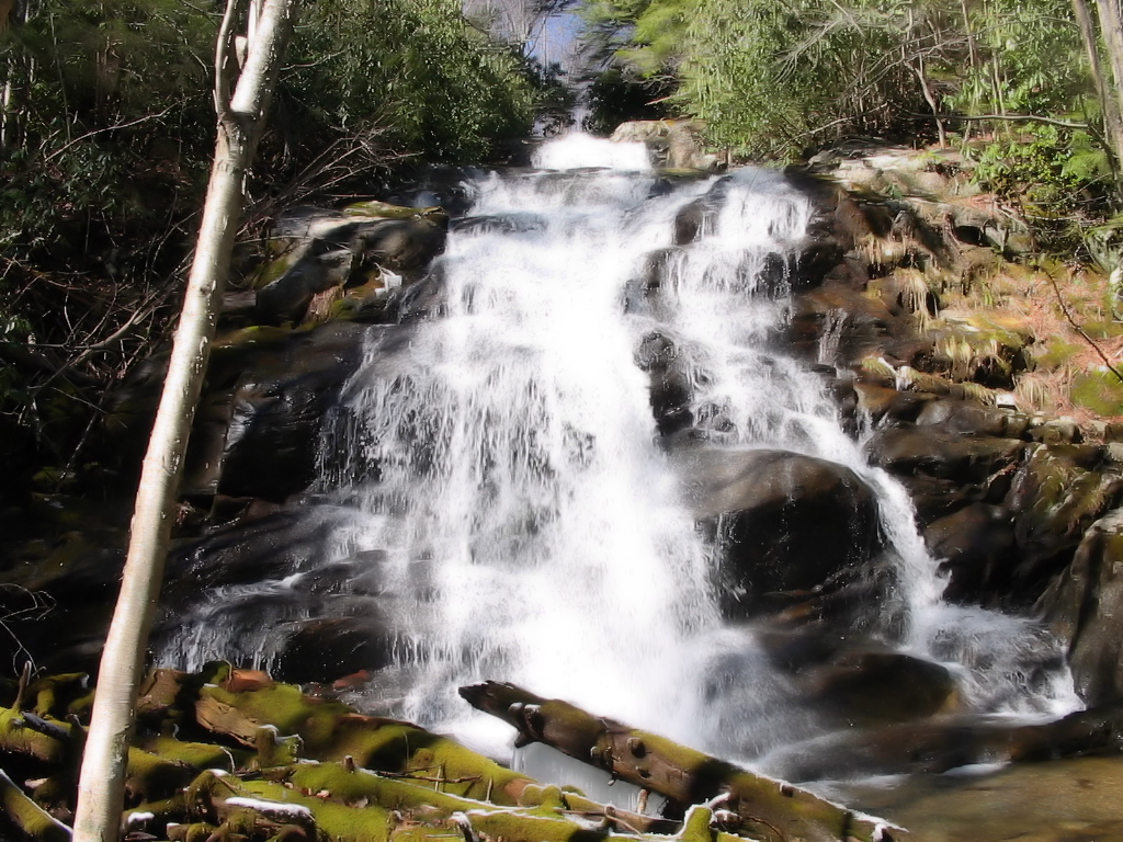
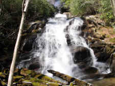
Another
Shot |
| |
|
|
|
At the waterfall,
the trail itself is well above the falls, so to get to a good
viewing point I had to make a hard, very steep bushwhack down
into the ravine... dropping at least a hundred feet to get down
to the stream. The slope down was also snow-covered making
it much more difficult, but I took my time and made it easier
than I'd initially thought I would.
I spent quite some
time at the base of the falls... resting after my tough climb
down... I also had a snack, set up my tripod, took some photos,
and simply admired this fantastic waterfall. Water flow
was great and I would guess the overall height of the falls to
be around 100' (much taller and grand than what my photos seem
to portray). |
| |
|
|
 |
|
 |
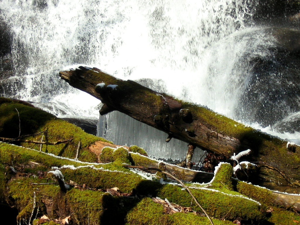
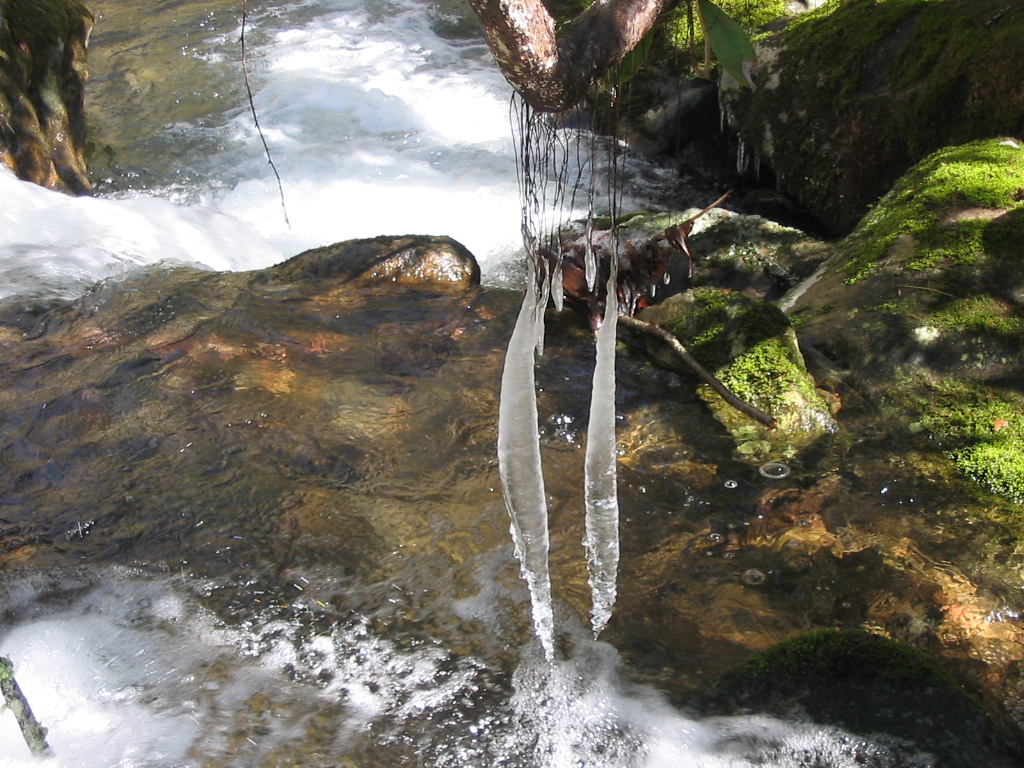
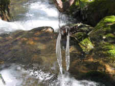
| Icicles
Hanging Off a Log at the Base of the Falls |
|
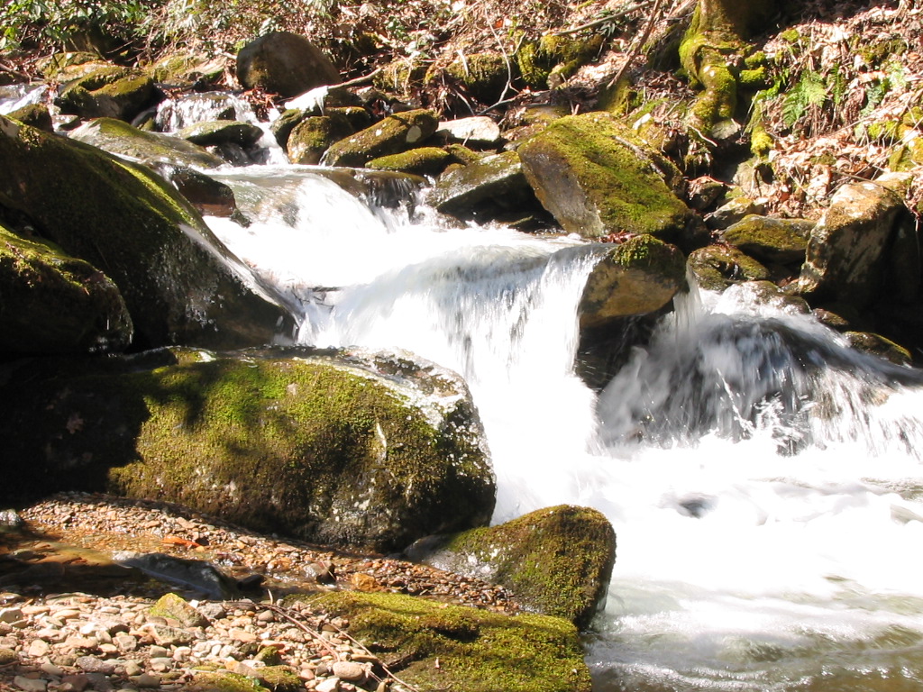
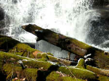
A
Small Cascade on the Way Back Down |
| |
|
|
|
The climb up from
the base of the falls wasn't near as tough as the climb down,
and when I got back on the trail I continued onward in hopes to
find the other waterfalls upstream (4 more smaller ones from
what I've read), but the trail soon came to a creek
crossing. I first decided to ford it, but when I got about
halfway across the stream I backed out. I looked for other
places to cross, but there just wasn't any way to ford it
without getting wet, and I didn't really want to hike with wet
legs and feet on a chilly day, so I decided to save it for later
in the year. I turned around and hiked back
out. |
| |
|
|
 |
|
"Hanging
by a Thread"
Two
Icicles Hanging From Rhododendron
Roots
Only Inches Above
the Stream |
| |
|
|
|
Total
Miles Hiked: 2.0 Directions:
From Johnson City, take I-26 toward Erwin, and go on past Erwin to
exit #43 (Temple Hill). Turn left at the stop sign at
the bottom of the exit (your only option). At the next stop
sign turn right onto 19W (19/23). After .75 mile, turn right
onto Lower Higgins Creek Road. Follow this road for
approximately 1.5 miles until it dead-ends. The trailhead
will be off to your left (looking upstream) across the old
bridge. |
|
|
HOME |
|