| GRAYSON
HIGHLANDS |
| |
|
|
|
May
31st & June 1st, 2008 -
Shannon and I had a great
backpacking trip in the Mount Rogers/Grayson Highlands area with
our friends Jake Mitchell & Johnny Jobe (all TEHCC members).
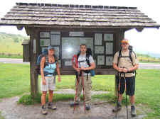
We left one car at highway VA603, and then started our A.T. hike
at the Elk Garden trailhead at highway VA600 around 11:00 a.m.
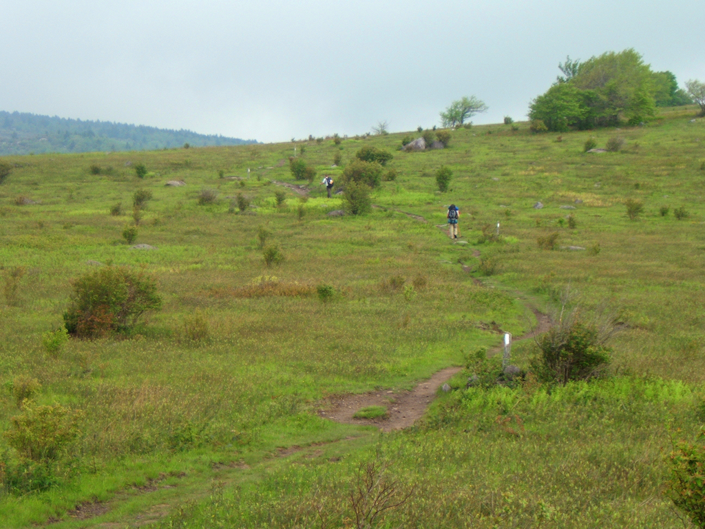
on Saturday morning. It was very windy as we ascended
through Elk Garden Ridge, Deep Gap, and Briar Ridge before we
made our way up to the summit of Mount Rogers. |
| |
|

|
|
|
|
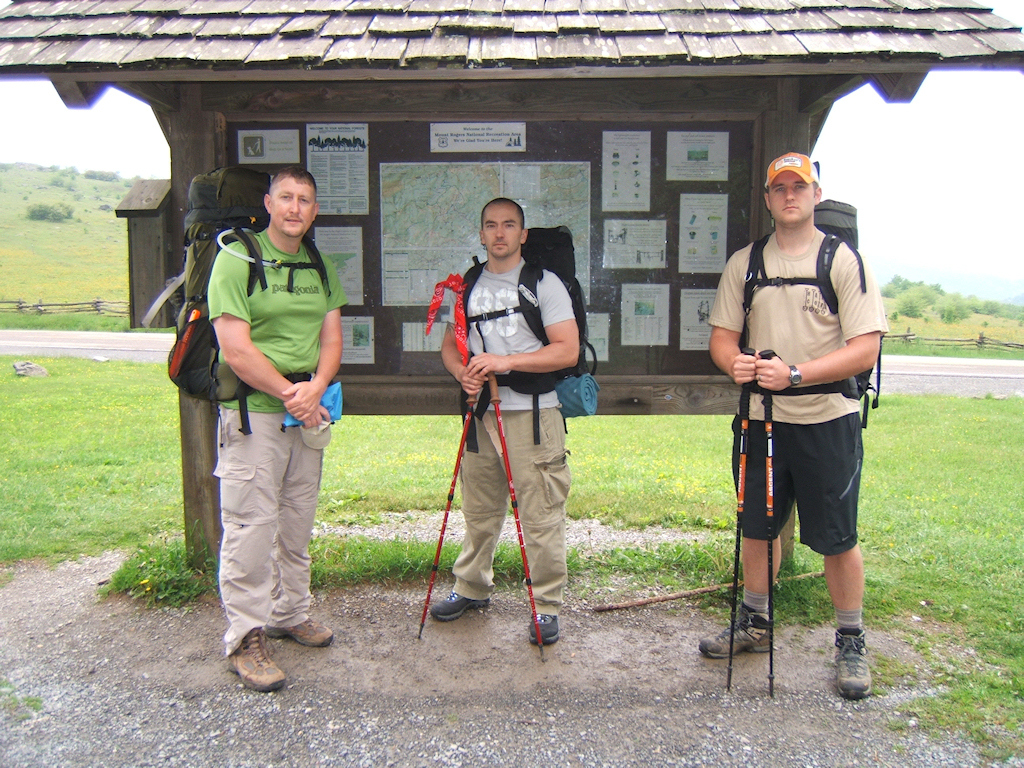
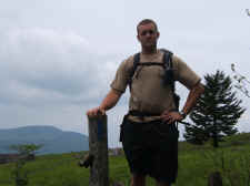
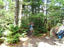
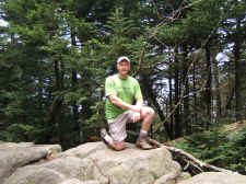
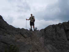
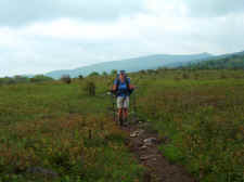
Bill,
Johnny, and Jake at the Elk Garden Trailhead |
|
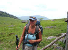
Shannon,
Johnny, & Jake |
| |
|
|
 |
|
 |
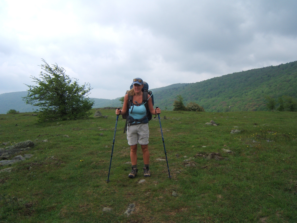
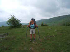
| Shannon
on Elk Garden Ridge |
|
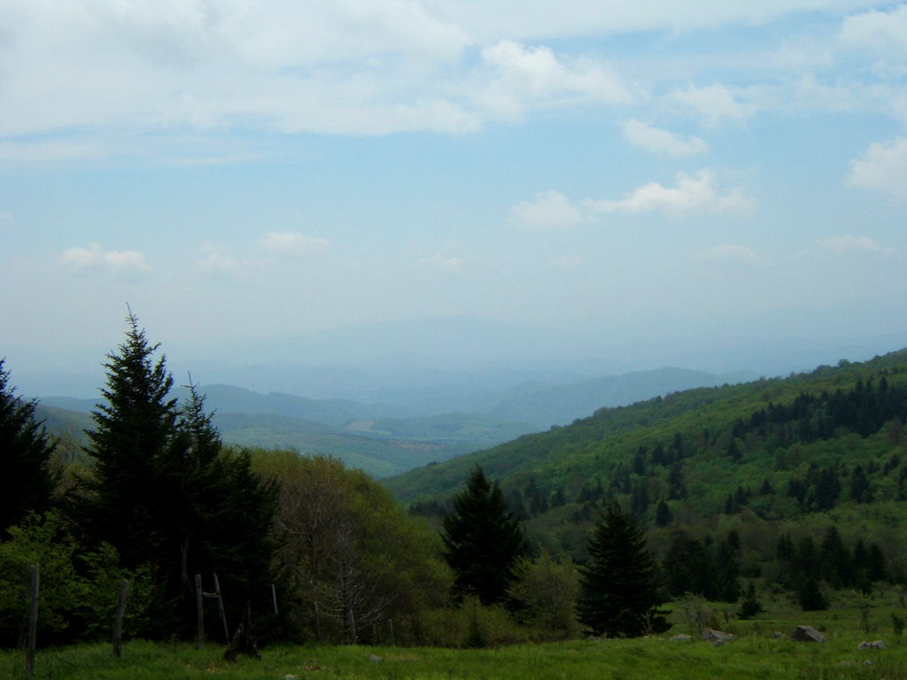
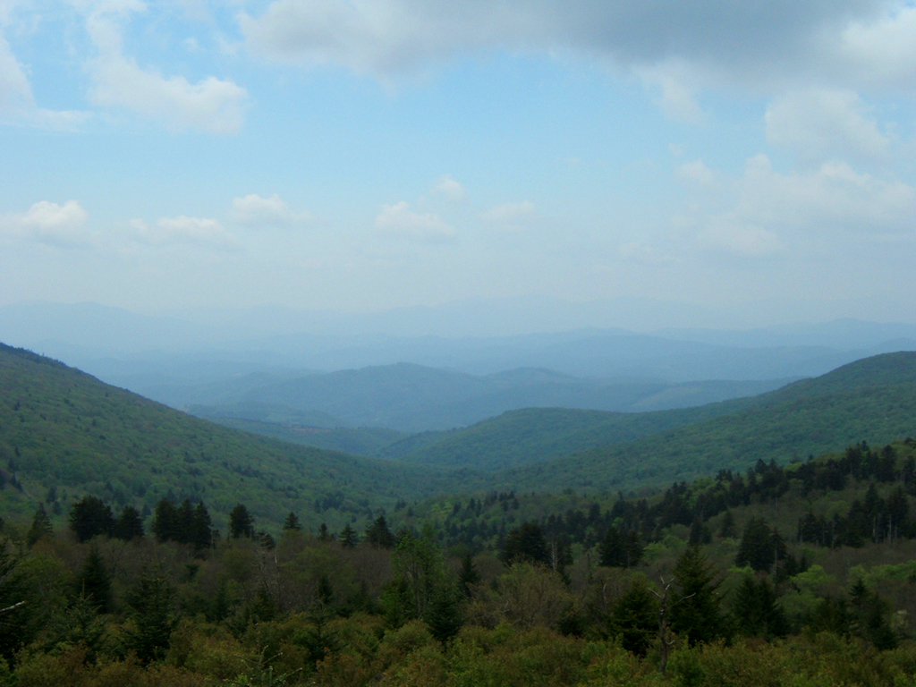
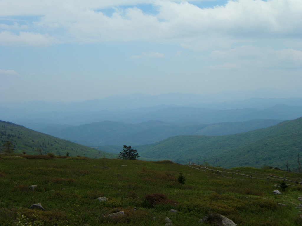
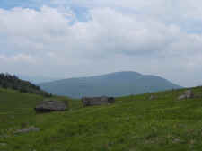
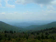
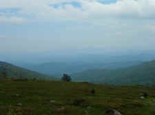
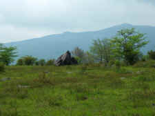
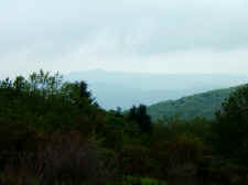
View
of Bluff Mountain |
| |
|
|
 |
|
 |
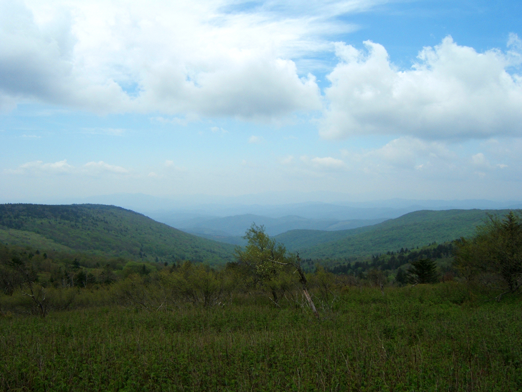
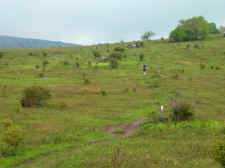
| Looking
Toward the Grayson Highlands Park |
|
Jake
on a Stile |
| |
|
|
 |
|
 |
| Shannon
Enjoying the Views at Briar Ridge |
|
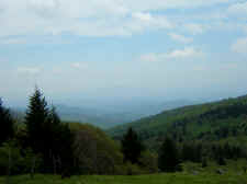
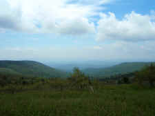
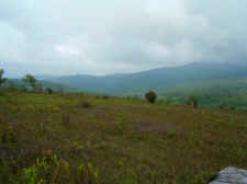
More
Vistas |
| |
|
|
|
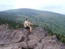
By noon we had made our way
through the beautiful Fraser Fir forest on the south-side of the
mountain, and turned left on the final approach trail to the
summit. It was overcast, but we still had some wonderful
views on our way up. This was my second summit of Mount
Rogers this year (see
here), while it was Shannon's first time on Virginia's
highest peak. We stopped for lunch on the summit, and
Shannon surprised me by pulling out a submarine sandwich out of
her backpack. It was the first of a few birthday surprises
she had for me. |
| |
|
|
 |
|
 |
| View
on our Ascent to Mount Rogers |
|
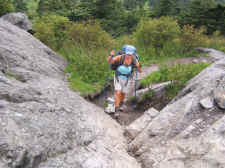
Shannon
Making Her Way to the Summit |
| |
|
|
 |
|
 |
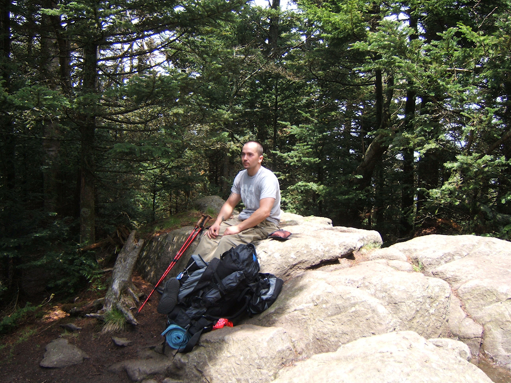
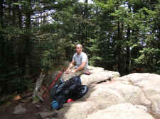
| Johnny
Resting at the Summit |
|
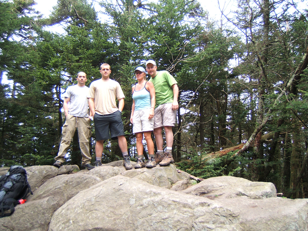
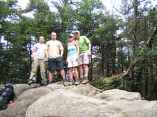
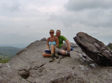
The
Whole Crew on Virginia's Highest Peak |
| |
|
|
 |
|
 |
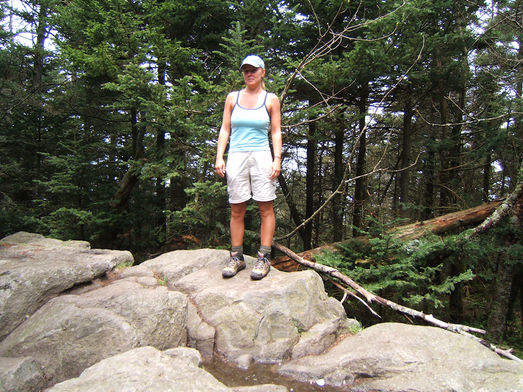
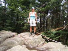
| Shannon
Summits Mount Rogers (5729' Benchmark at Her Left Foot) |
|
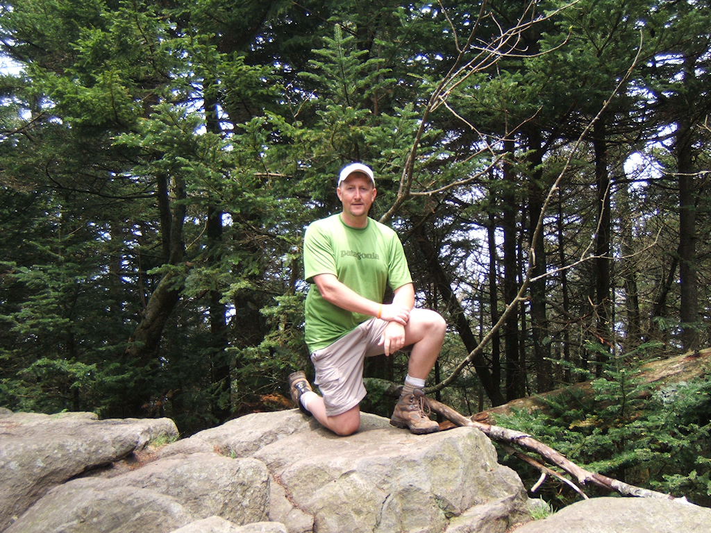
Possum
on the Summit for the 2nd Time in 2008 |
| |
|
|
|
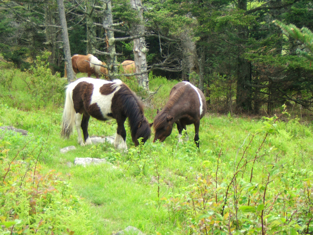
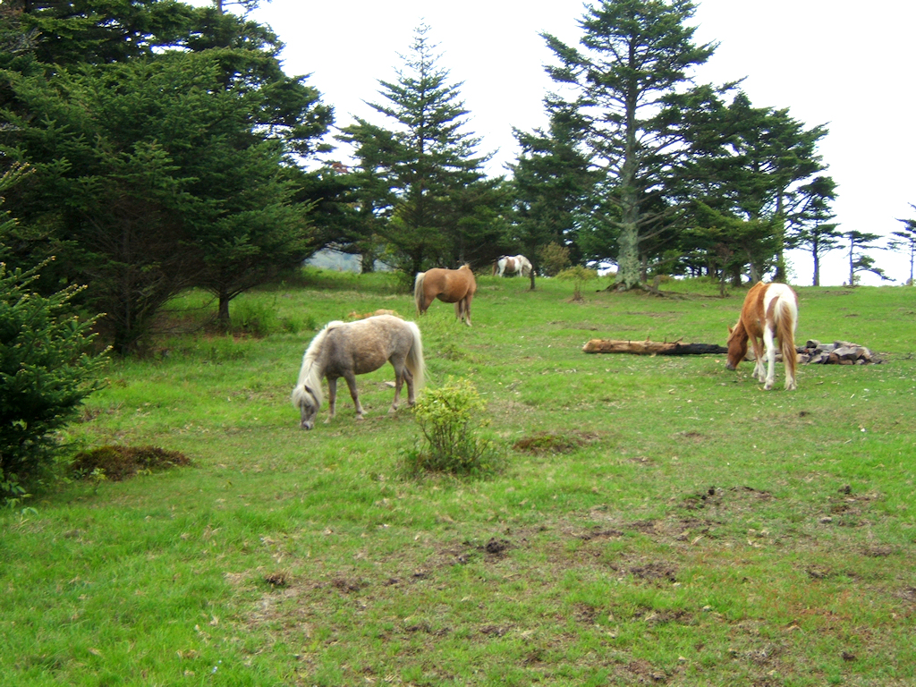
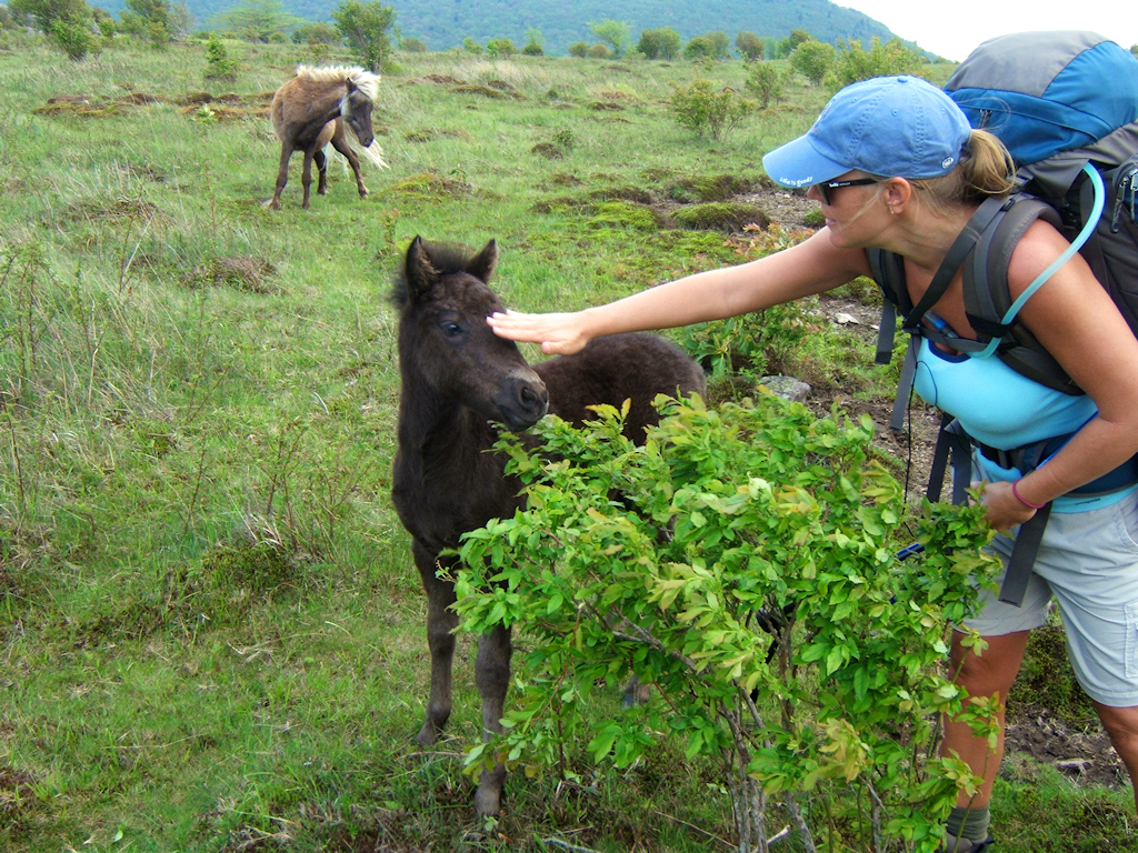
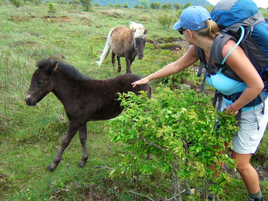
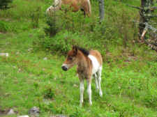
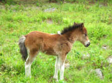
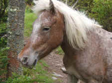
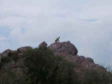
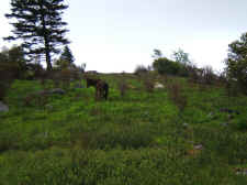
After lunch we went through Thomas
Knob... enjoying more breathtaking views. It was soon
after the shelter that we ran into our first herd of wild
ponies. It was a neat experience seeing these wild animals
roaming free at over 5000' elevation.
|
| |
|
|
 |
|
 |
| Wonderful
Views Near Thomas Knob |
|
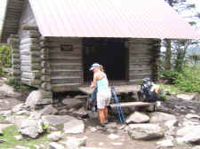
Shannon
at Thomas Knob Shelter |
| |
|
|
 |
|
 |
| Our
First View of the Wild Ponies |
|
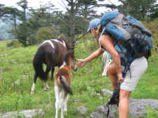
Very
Cute Foal |
| |
|
|
 |
|
 |
| Another
Shot of the Foal |
|
Shannon
Trying to Pet It |
| |
|
|
 |
|
 |
| "Momma"
Blocking the Trail |
|
More
Wild Ponies |
| |
|
|
|
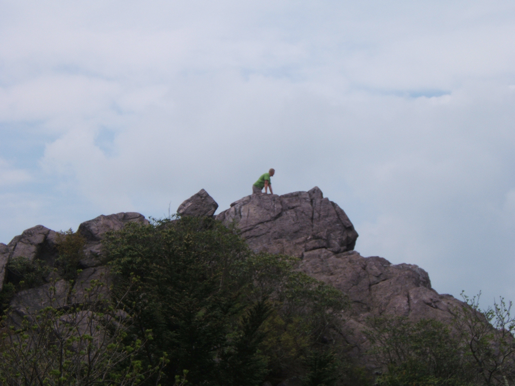
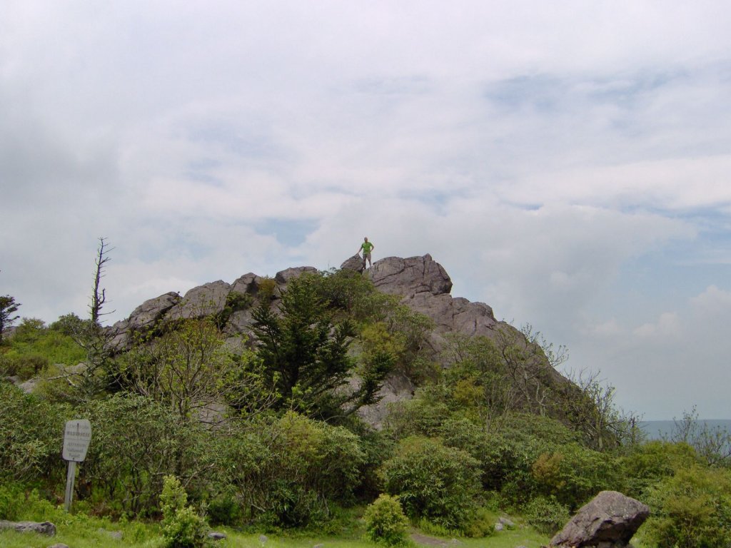
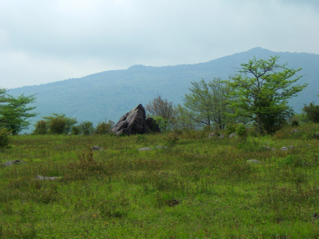
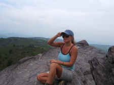
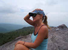
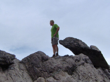
We left the ponies and soon made
our way to Rhododendron Gap, where we decided to climb a huge
rock outcropping. It was very windy on top of this rock,
but the views were unreal looking down into the Grayson
Highlands. We took quite a few photos before making our
way on up Wilburn Ridge. |
| |
|
|
 |
|
 |
|
Bill Climbs a Huge Rock Outcropping at Rhododendron Gap |
|
Jake
Checking Out the Wonderful Scenery |
| |
|
|
 |
|
 |
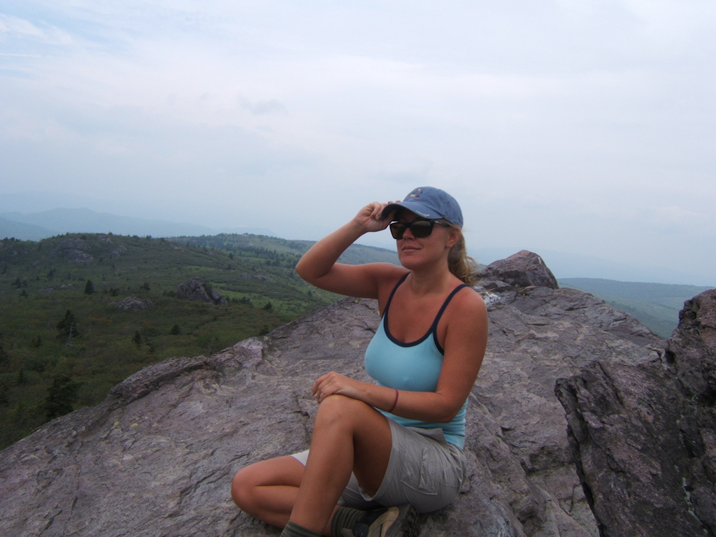
| Shannon
on the Big Rock at Rhododendron Gap |
|
Bill on the Rock |
| |
|
|
 |
|
 |
| Holding
Her Hat Down in the Very Strong Winds |
|
Is
That a Dolphin Trying to Smell My Butt? |
| |
|
|
 |
|
Shannon & Bill |
| |
|
|
|
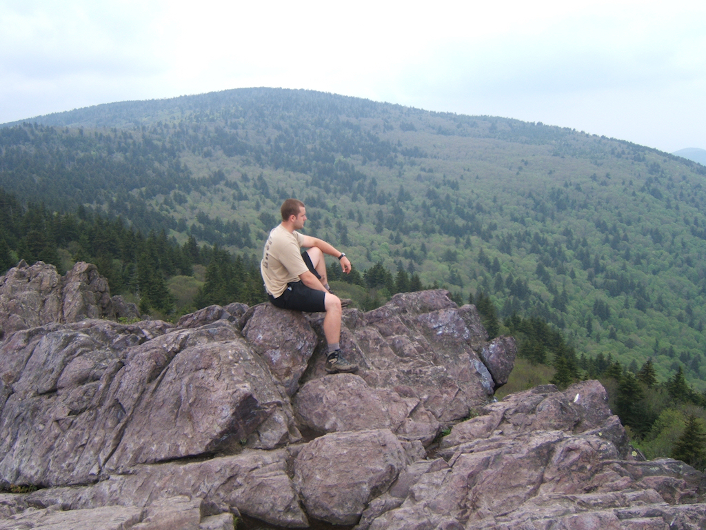
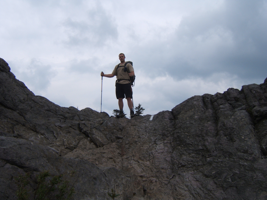
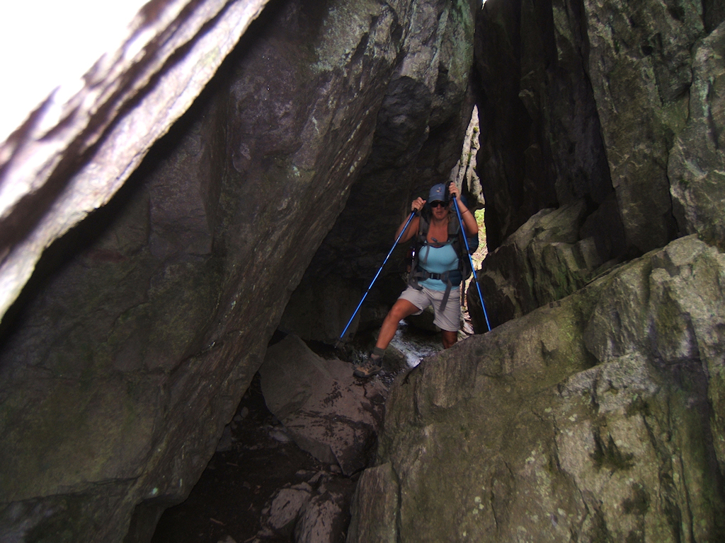
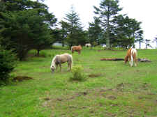
The entire Wilburn Ridge
area is one of the most beautiful places I've ever seen. It's full
of vistas in every direction, rock outcroppings to climb and descend,
and more wild ponies to see. It's a hikers' playground. We
also made out way through "Fatman's Squeeze", which is a natural tunnel
on the trail. |
| |
|
|
 |
|
 |
| Jake
on Wilburn Ridge |
|
Shannon
Makes Her Way Up Wilburn Ridge |
| |
|
|
 |
|
 |
|
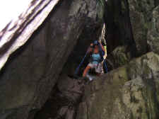
Shannon
Navigating Through
"Fatman
Squeeze" |
|
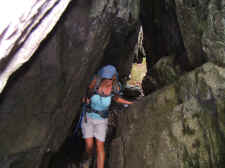
Shannon
Exits the Natural Tunnel |
| |
|
|
 |
|
 |
|
Another Herd of Ponies |
|
The
Foal's Mommy Had Enough of Shannon |
| |
|
|
|
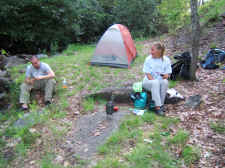
We made our way down through
the Grayson Highlands Park and kept descending on past the Wise Shelter to a
wonderful grove and campsite next to Little Wilson Creek. It was here
that we decided to set up camp. Jake and Johnny set up in the grove,
while Shannon and I set up right next to the creek. We'd hiked 10.4
miles.
For dinner, Shannon and I had
some noodles and summer sausage. Then she continued with her surprises
by pulling out some wine and cheese from her backpack for dessert.
Jake and Johnny visited with us at our campsite, and we talked and built a
fire. We all retired to our tents around dusk. |
| |
|
|
 |
|
 |
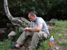
| Johnny |
|
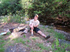
Jake
Kicks Back at Camp |
| |
|
|
 |
|
 |
|
Johnny and Shannon |
|
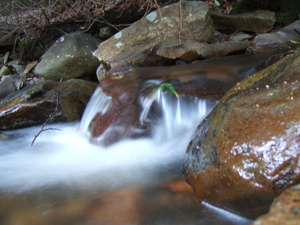
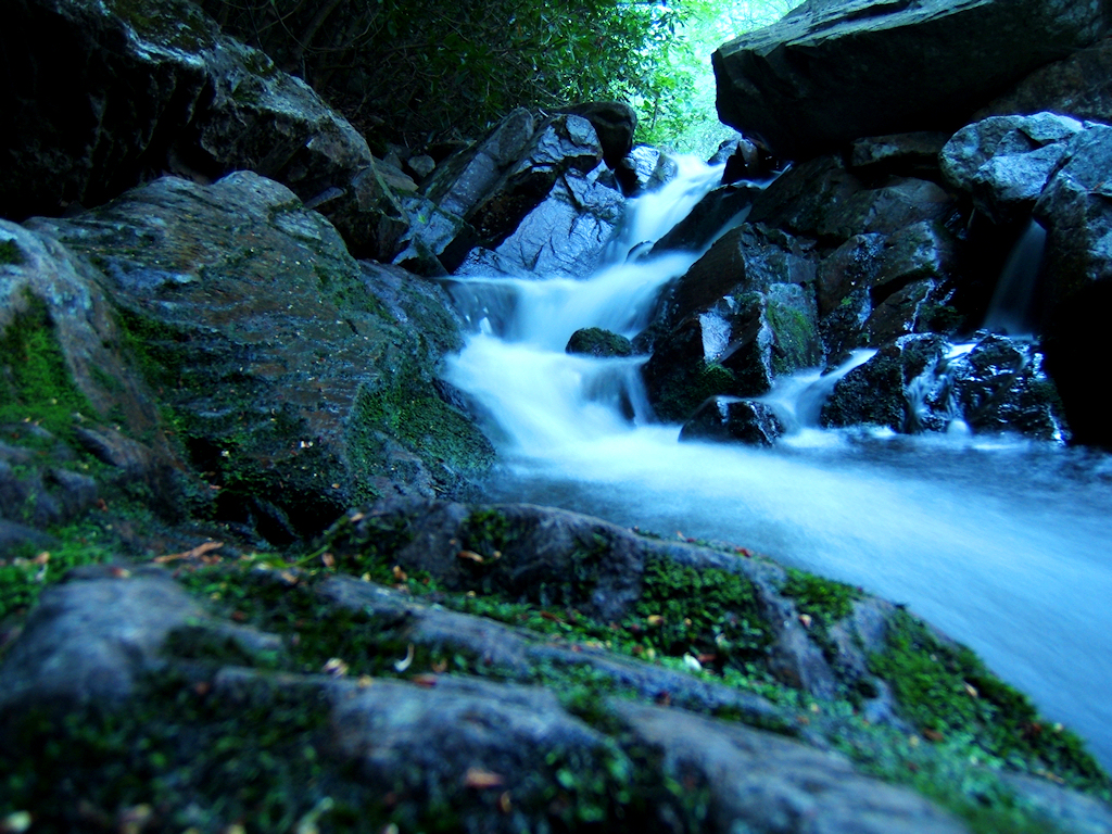
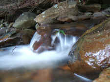
Cascades
on Big Wilson Creek,
Right
Next to Our Tent |
| |
|
|
 |
|
 |
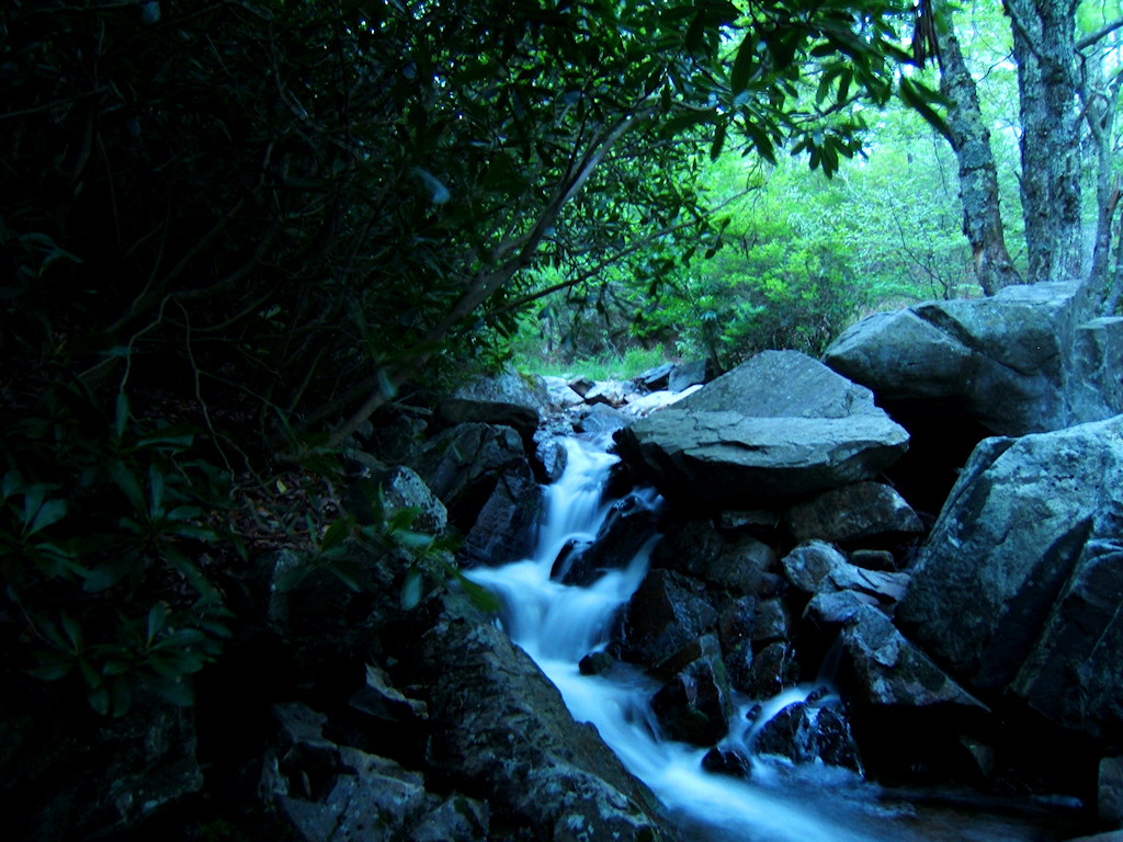
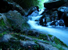
| Big
Wilson Creek |
|
Taken
at Dusk |
| |
|
|
|
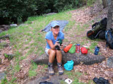
I woke up 41 years old, and
had a birthday card waiting for me in my tent gear pocket... put there
sometime in the middle of the night. It was a nice way to start the
day. We talked for a little bit while laying in the tent, and then
began packing up while making a breakfast of Quinoa and coffee. We
were back on the trail at 8:00 a.m.
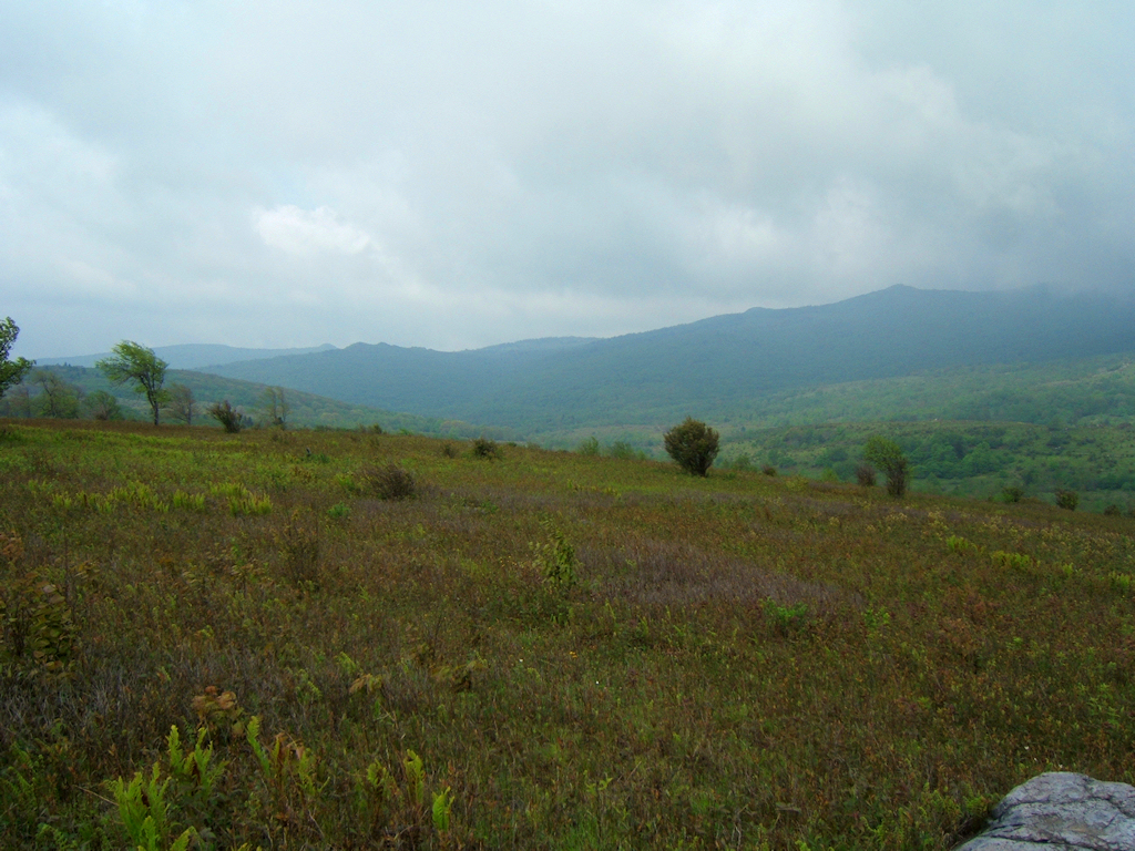
We first made our ascent on
Stone Mountain, which is a mostly flat, grass-covered ridgeline at 4800'.
I enjoyed it tremendously as it gave us wonderful views of the mountains
that we crossed yesterday. We then descended through the "Scales", and
made our final ascent on Pine Mountain to 5000'. It was here that we
saw our last herd of ponies while also stopping for brunch.
|
| |
|
|
 |
|
 |
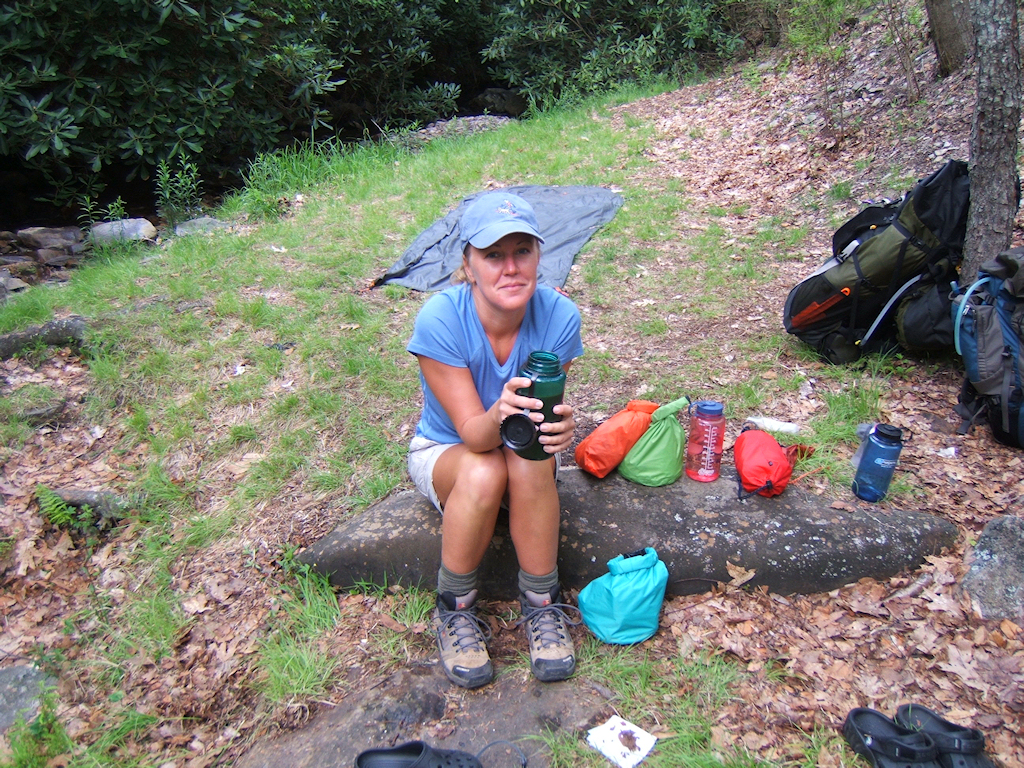
| Shannon
Having Some Coffee as We Pack Up |
|
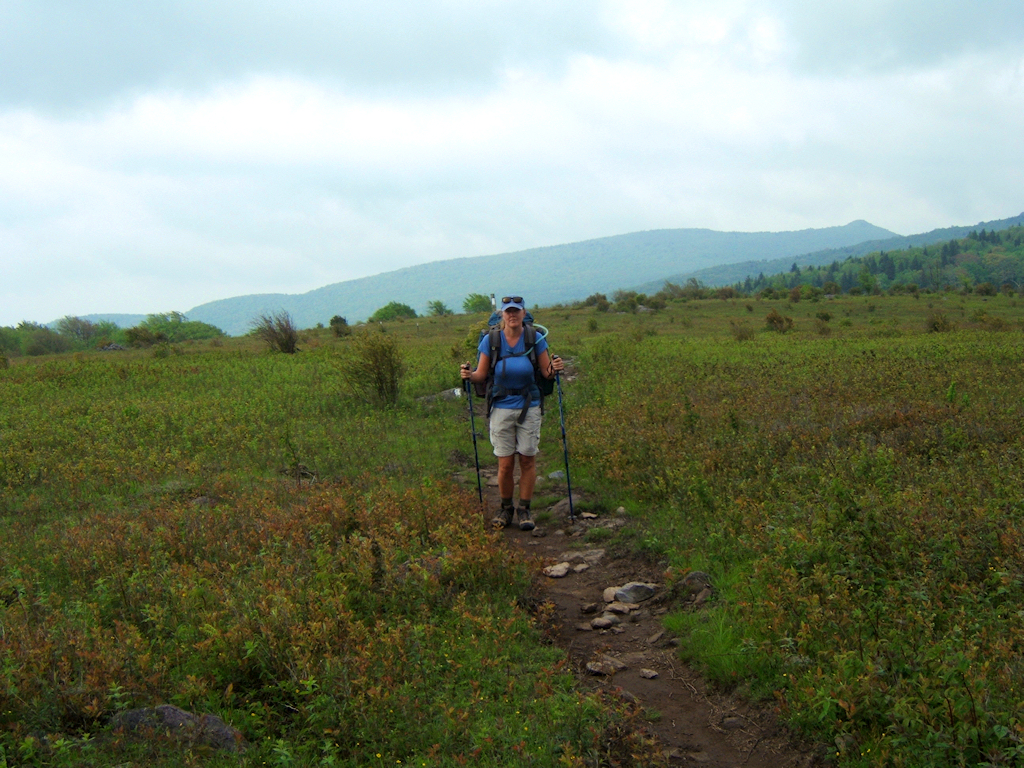
Shannon
on Stone Mountain |
| |
|
|
 |
|
 |
| Jake
and Johnny Cross Stone Mountain |
|
Looking
Toward Wilburn Ridge from Stone Mountain |
| |
|
|
 |
|
 |
|
Looking at Wilburn Ridge...
Where
We Were Yesterday |
|
More
Vistas from Stone Mountain |
| |
|
|
 |
|
 |
| Another
Herd of Ponies at We Ascend Pine Mountain |
|
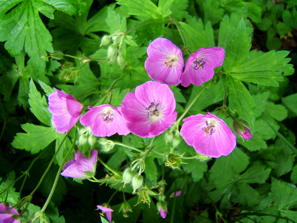
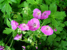
Wild
Geranium Taken When We Returned to the Car at Elk Garden |
|
|
|
Following Pine
Mountain, we made our way through some very pretty forests on
our final descent. We passed by Old Orchard Shelter, and
soon arrived at our car around 11:30 a.m. We hiked 7.5
miles on day #2, and 17.9 miles total... completing this entire
hike in just over 24 hours.
Overall, I have to
say that the Grayson Highlands is the most beautiful area I've
hiked. The scenery, wonderful views, wild ponies, open
sky, rock-outcroppings, and the diversity of hiking through so
many different ecosystems makes this a very special place.
|
|
|
|
Total
Miles Hiked: 17.9 |
|
|