| MOUNT
ROGERS - VIRGINA'S HIGHEST PEAK |
| |
|
|
|
February
16th, 2008 -
For about 30 minutes today, I
stood higher than any other person in the State of Virginia.
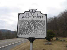
I began my Mount Rogers summit
heading north on the Appalachian Trail at the Elk Garden
trailhead (elevation 4435'). This hike starts out very
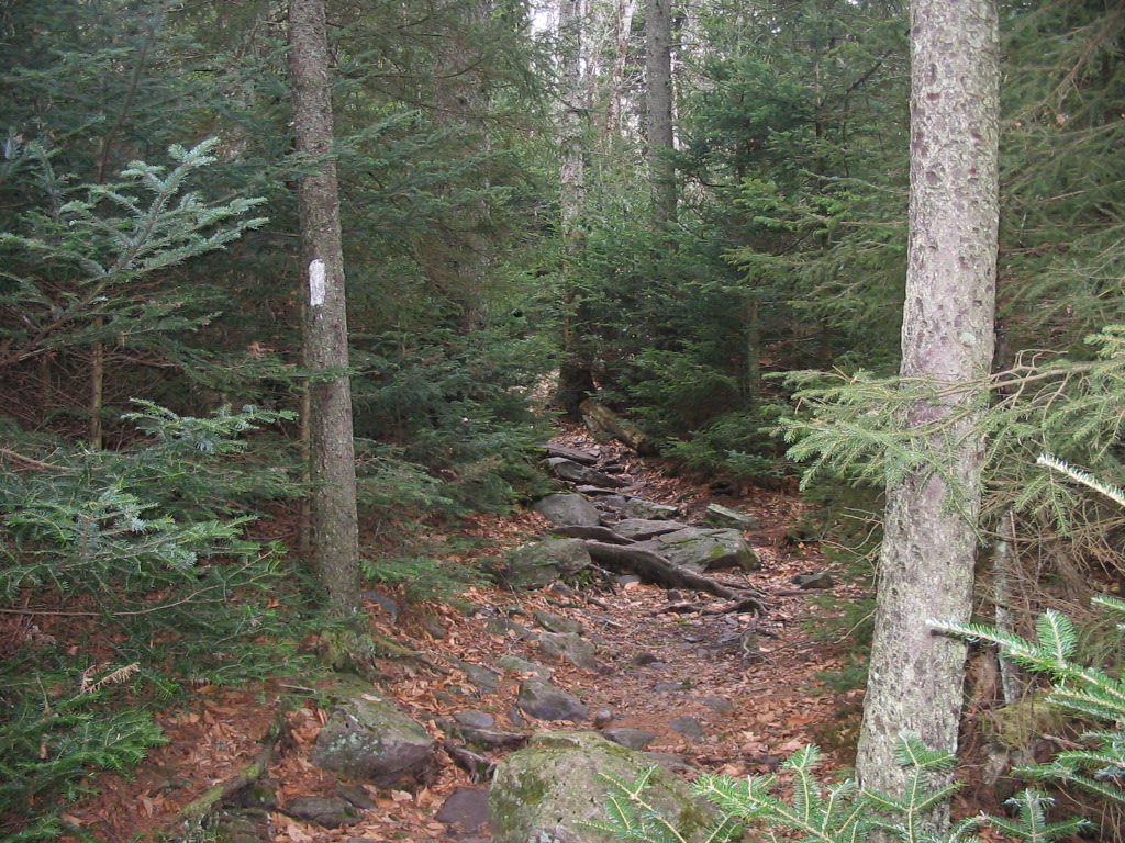
scenic with a nice climb up a grass-covered ridge. Then
after a mile or so I left the balds and began a gradual climb
through the forest on the west side of the mountain. As my
elevations increased, the forests turned from decidous to Fir
and Spruce. These areas were very pretty, with numerous
springs flowing across the trail. |
| |
|
|
|
|
|
Mount Rogers Sign at Elk Garden (Highway VA600) |
|
Beautiful Fraser Fir
Forests at Around 5300' |
| |
|
|
|
Soon I left the conifer forests
and reached another grass-covered ridge. This area would
normally give great views, but the fog too dense to see much
more than a couple hundred yards.
It was here that I also saw two wild ponies in the distance.
I wanted to get a photo of them for the kids, but the weather
conditions were too poor. |
| |
|
|
 |
|
 |
|
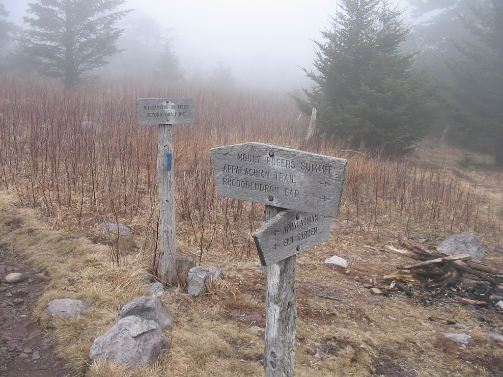
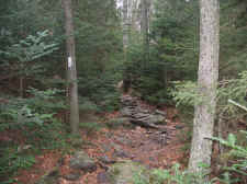
Intersection of the A.T. and the
Approach Trail to the Summit |
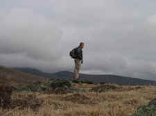
|
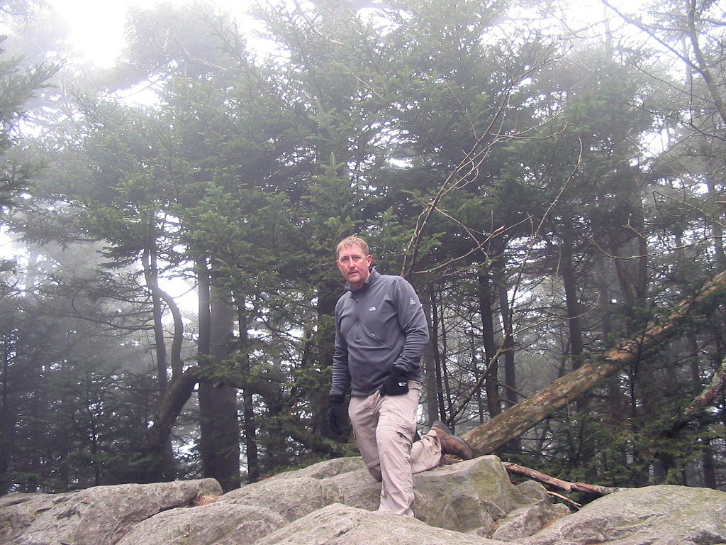
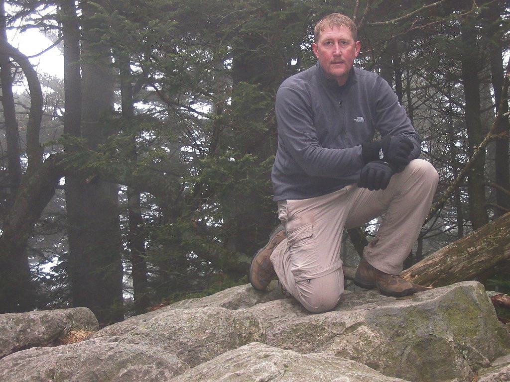
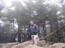
Bill on the Summit of Mount Rogers
(5729') |
| |
|
|
|
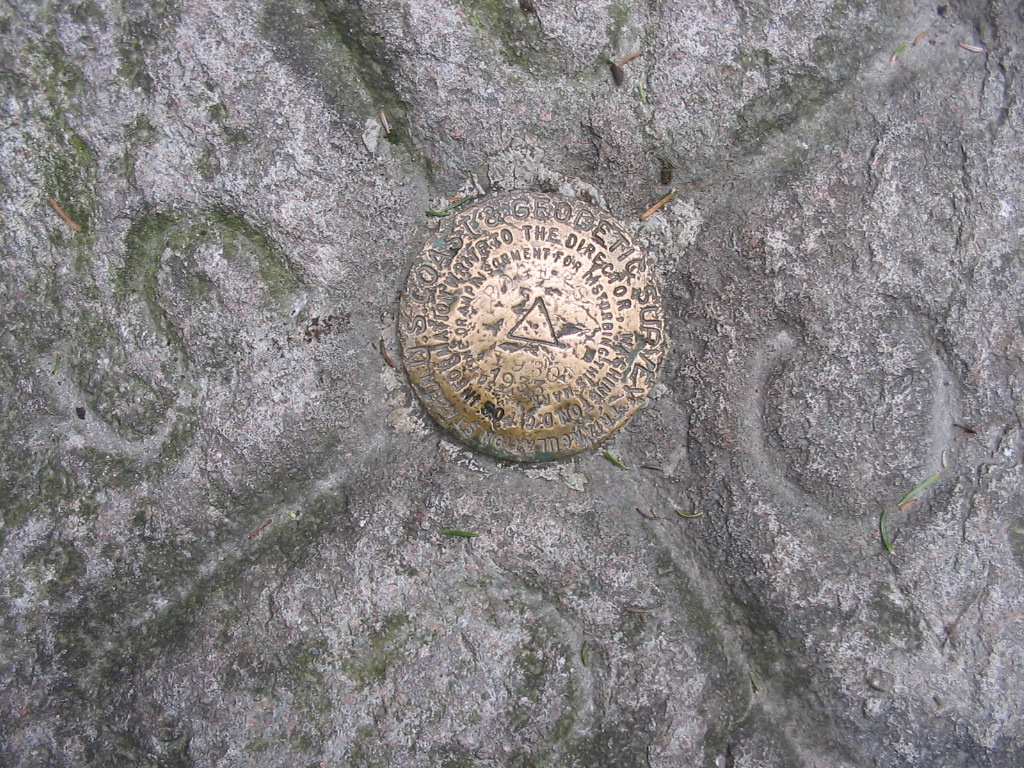
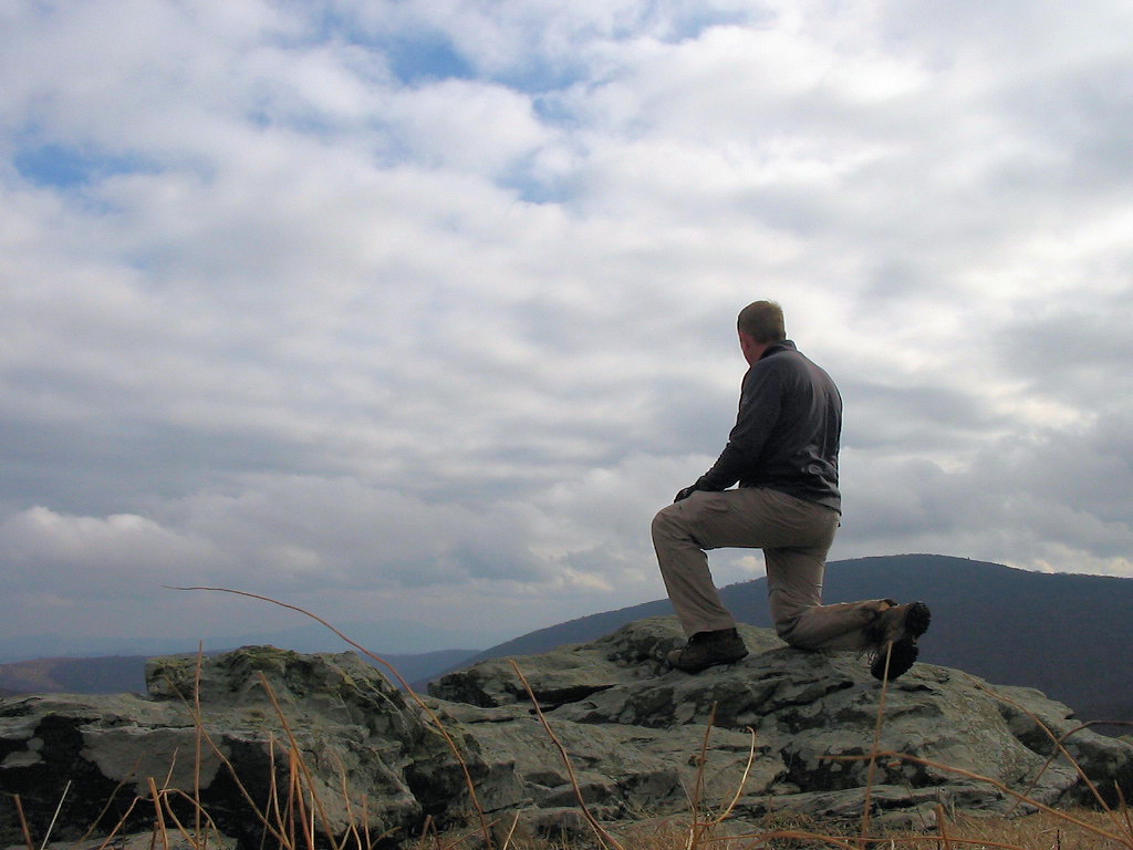
After approximately 4 miles I left
the A.T. and began my final climb on the approach trail to the
summit. This trail soon turned from grassy to a thick Red
Spruce forest, and after a final .5 mile of climbing, I reached
the highest peak in the State of Virginia at 5729 feet
elevation. The 1st benchmark below is on a large
rock-outcropping, which I assume is the true summit. I
took some photos, ate lunch, and then explored a little more. |
| |
|
|
 |
|
 |
|
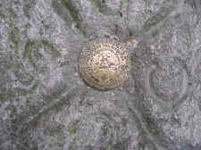
Benchmark on the Summit |
|
Another Summit Photo... the Benchmark
is Beside My Left Foot |
| |
|
|
|
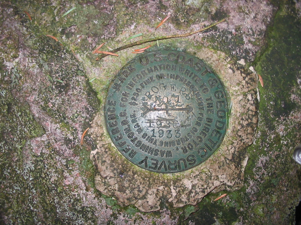
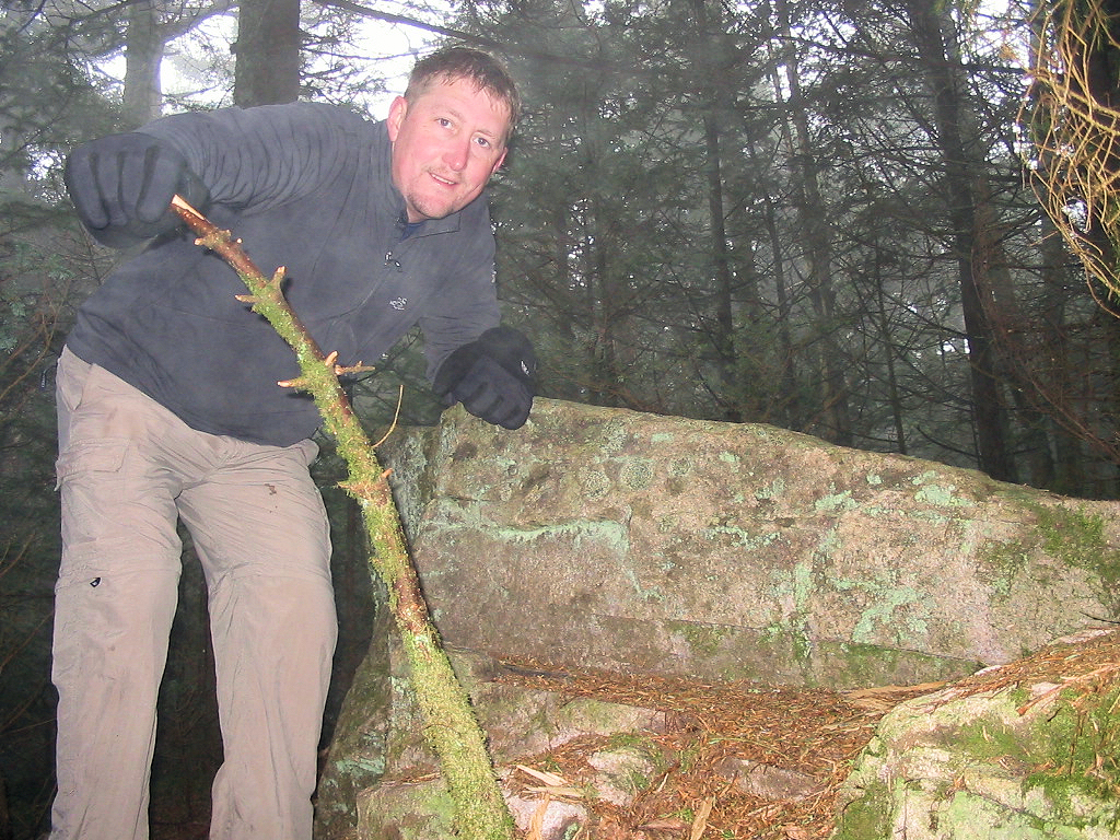
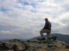
About 100 feet from the first
benchmark, there was another rock-outcrop that seemed to be just
as high as the first when "eye-balling" it. This rock was
also benchmarked. Since I didn't know which one was the
true summit, I checked each location with my GPS altimeter, and
the second location actually showed to be one foot higher than
the first. I'm not sure of the accuracy (each location is
very close in elevation), but just to make it official I
climbed on top of this rock too, and took another photo. |
| |
|
|
 |
|
 |
|
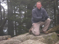
2nd Benchmark I Found |
|
Bill at the 2nd Benchmark... On the
Rock Near My Left Hand |
| |
|
|
|
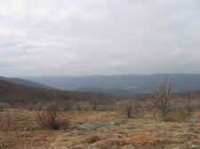
After my summit, I retraced
my steps back down the mountain. I was hoping again to run into
some more wild ponies, but I had no luck. But, the skies began to
clear up a bit as I reached the balds near Elk Garden, so I had some
nice views on my descent. |
| |
|
|
 |
|
 |
|
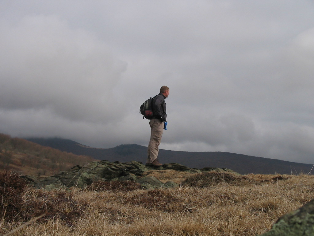
Coming Down the Mountain Near Elk
Garden |
|
Skies Began to Clear Giving Me Nice
Views into Virginia |
| |
|
|
 |
|
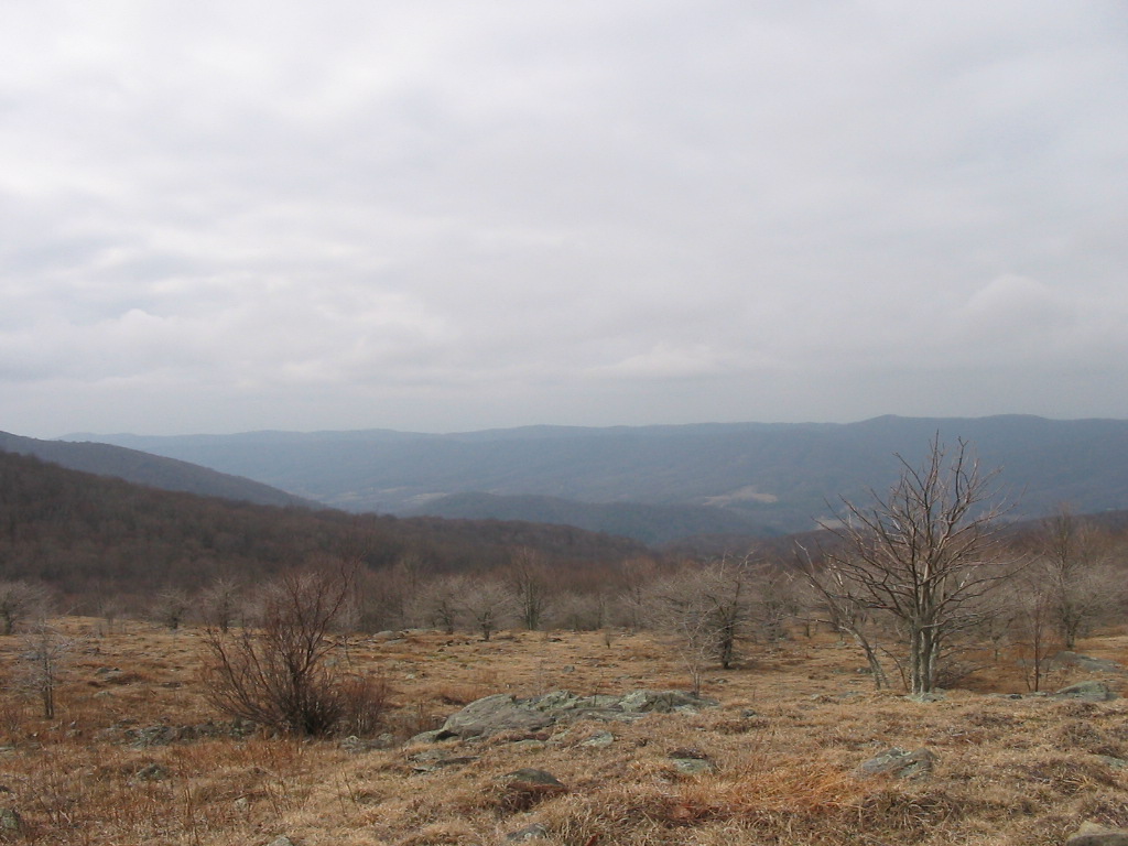
Looking Toward the Southwest into
Tennessee |
| |
|
|
| |
|
|
|
I arrived back at the Jeep
after a round-trip of four hours (from 11:00 to 3:00). My GPS
registered 8.8 total miles.
|
|
Total
Miles Hiked: 8.8 |