


This is a loop hike in the Grayson Highlands that I tend to do about once per year, so I’ve posted it a couple times before, but not with all the snowy conditions that I experienced this time.
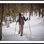
My daughter Taylor and her boyfriend Cameron joined me over their spring break around the end of March. And the weather surprised us with with up to two feet of snow in many areas, with very icy conditions. It made for some tough hiking to say the least.
We did my normal route and started at the Backpacker’s Overnight Parking taking the blue-blazed Spur Trail up to the A.T., where we then went north on the A.T.
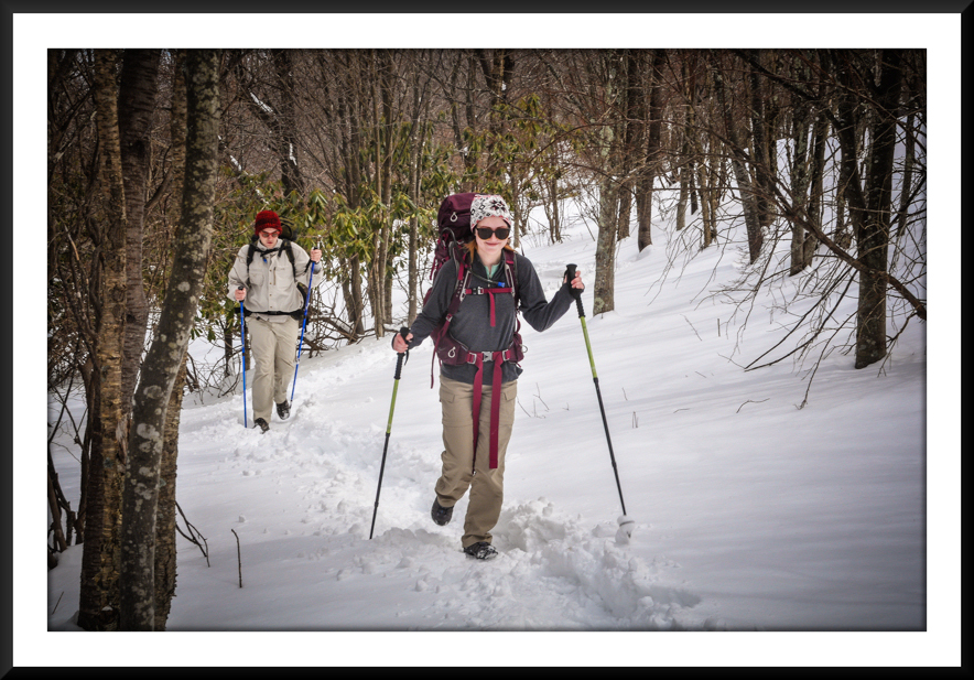
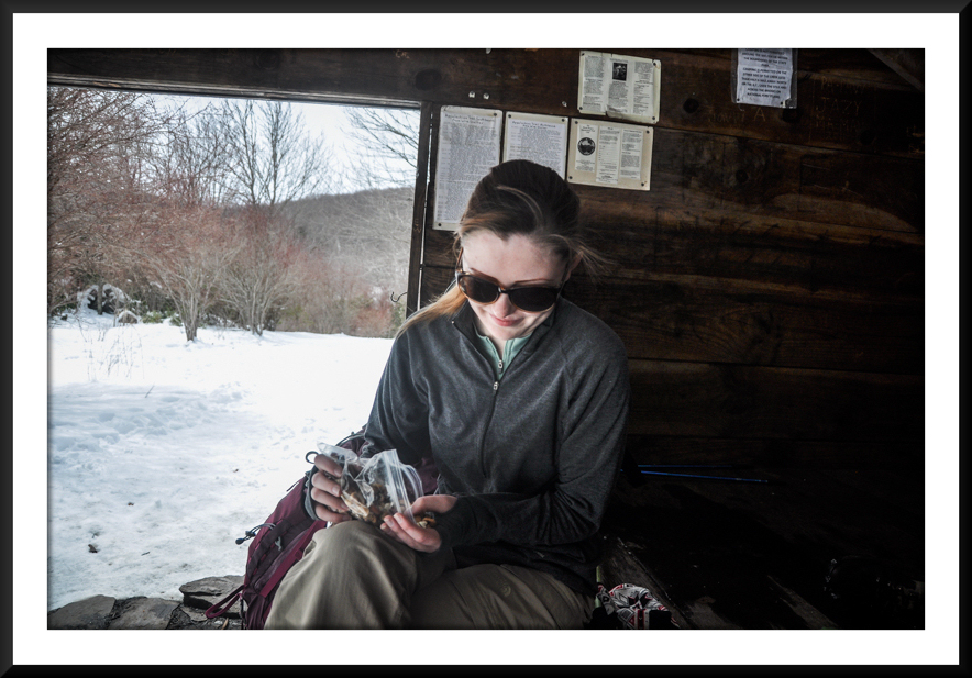
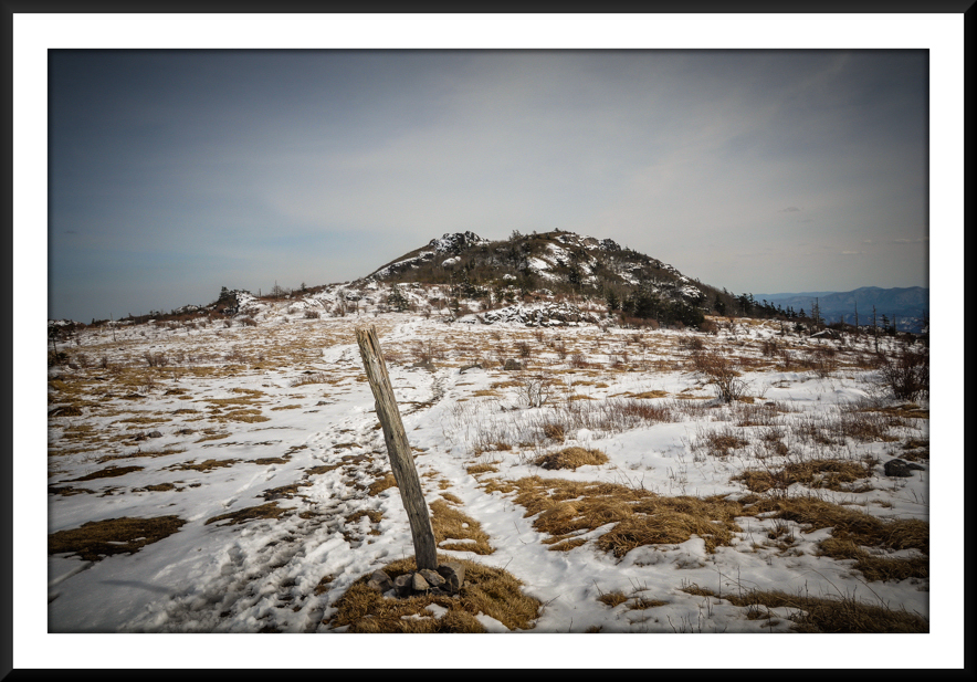
Things were quite pleasant until we passed Wise Shelter, where we had lunch. From that point the snow got deeper and all the footprints of previous hikers went away. We struggled to find the trail in many locations, but eventually made our way across Stone Mountain and to the Scales, where we set up camp. We built a fire, and had Fajitas for dinnner before retiring early.
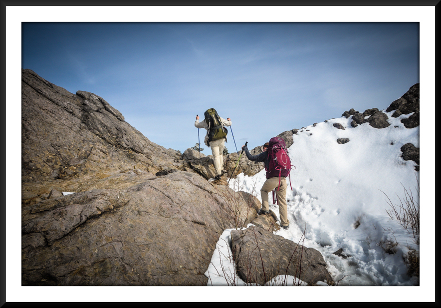
After a brutally cold night we continued on the A.T. until we ran into the Pine Mountain Trail, taking it to Rhododendron Gap. This was probably some of the most difficult hiking on the trip as the snow started to melt… leaving a very slippery, slushy, muddy trail. Climbing was difficult. We spent some time hanging out at the big rock at Rhododendron Gap… taking some pictures before getting back on the A.T. (north) and making our way up to Wilburn Ridge. After descending off the ridge, which took quite a long time due to the snow and ice, we ran into a bunch of feral ponies near Massie Gap. It was a nice way to end our 12-mile hike. Please refer to the “Hike Planner” and trail directions below for specific mileages, water sources, etc.
-
- Snow is Getting Deeper on the Descent to Wise Shelter
-
- Lunch at Wise Shelter
-
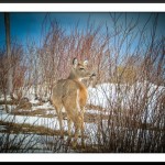
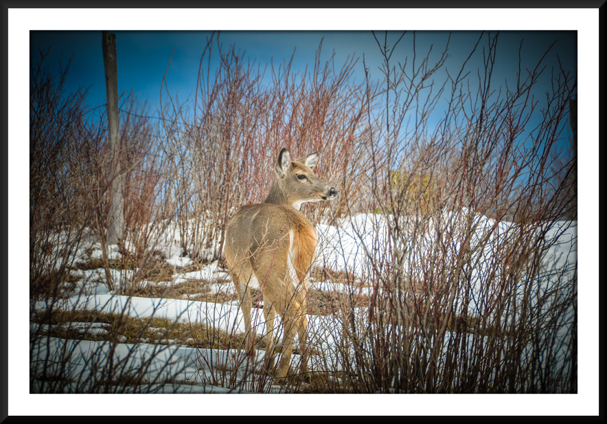
- Deer Near Little Wilson Creek
-
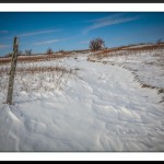
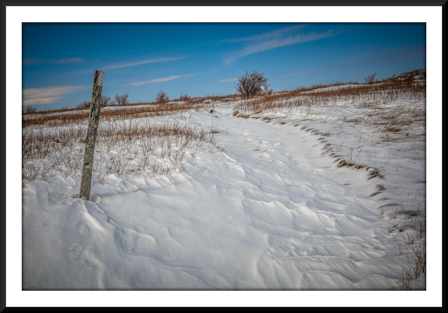
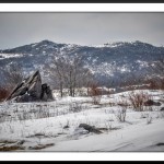
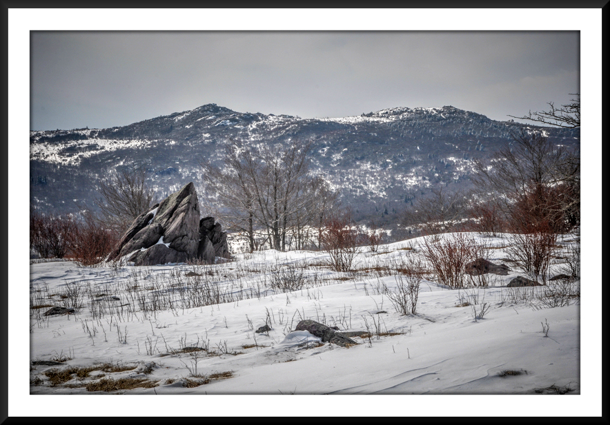
- Wind-blown Snow on Stone Mountain
-
- Looking Across the Valley to Wilburn Ridge
-
- Climbing on Stone Mountain
-
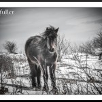
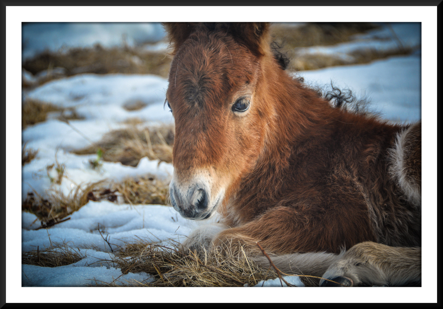
- Feral Pony Near the Scales
-
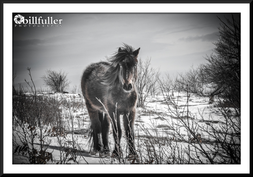
- My Campsite at the Scales
-
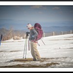
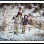
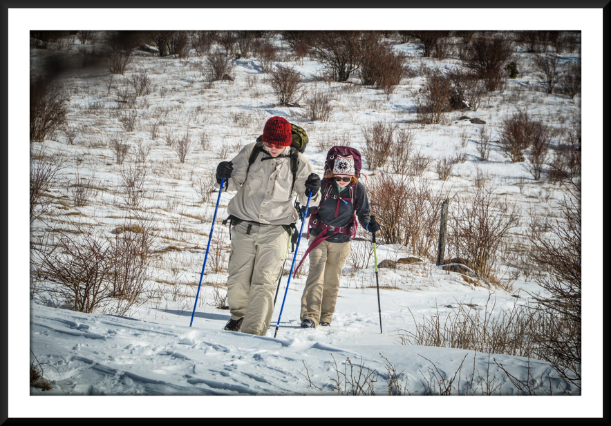
- Taylor Gearing Up on Day #2
-
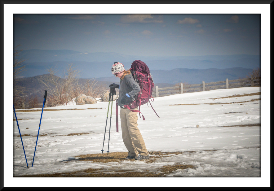
- Views from Rhododendron Gap
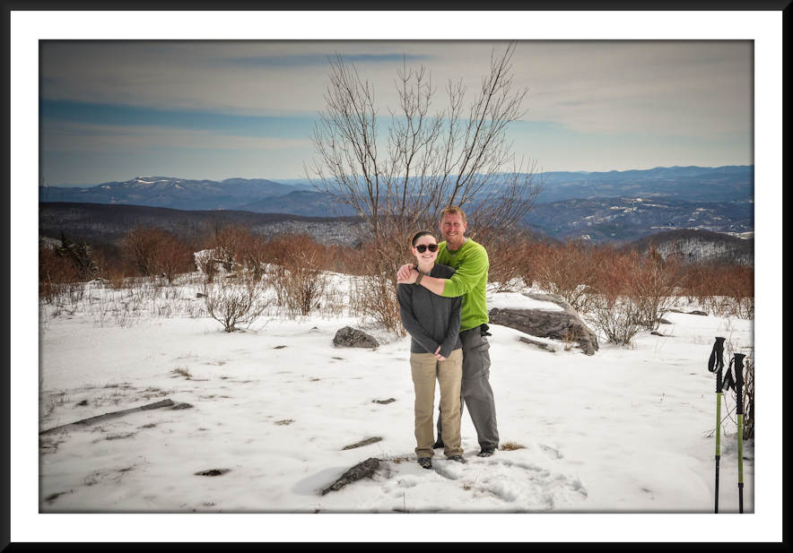
-
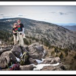
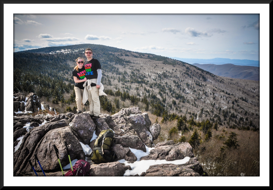
- Tay and Cameron with Mount Rogers in the Background
-
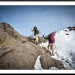
- Climbing Up to Wilburn Ridge
-
- Wilburn Ridge
-
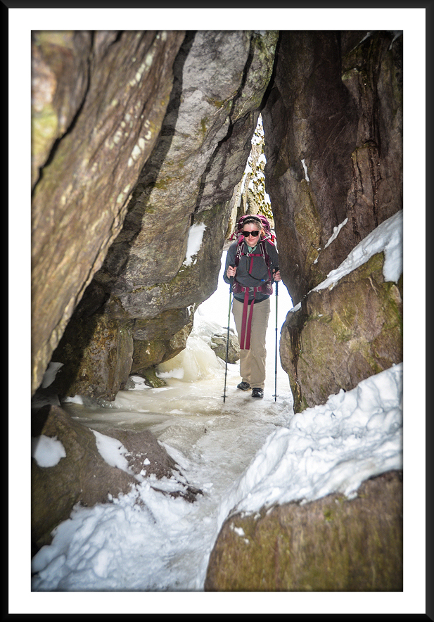
- Taylor in the “Fatman Squeeze”
-
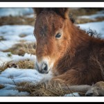
- Newborn Feral Pony
-
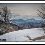
- Great Vista to End Our Trek

-
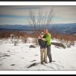
- Tay and I Near the A.T./Spur Trail Junction
|

When first I saw your pictures, I thought surely a professional has dressed these up, Was the shot of the pony near the scales an actual undressed pic ? If so – wow. I’ll be coming from Ohio to there next spring w/great anticipation & excitement. Thank you for sharing.
Yes, Robert… almost all my photos are edited to a degree.
Thanks for the great trail route description. I went this weekend and followed your route. It was a very beautiful place! I never found the fatman squeeze, but I did have to go a little on the side of trails due to high levels of ice, so perhaps I went right around it without realizing. When you reach the large fire road looking trail at Massie Gap, do you take that down to Massie Gap or continue on the AT just past there? I went down to the Massie Gap parking lot and then took the road the very small distance back to the backpacker’s lot.
I’ve done it both ways, Teresa. If you go down the Rhododendron Trail back to the Massie Gap parking lot, or just follow that road you mentioned too… then either way is definitely shorter than going on down to the AT Spur Trail back to the Backpacker’s Parking Lot. I’m glad you had a good hike!
I have done another loop starting at Greyson Highlands that is a very pleasant 2 -3 day hike. I got on the AT using the spur at GH. Hiked north on the AT, spent the night at Old Orchard Shelter. Got up the next morning, went north on the AT until I went left on the Lewis Fork Trail. The Lewis Fork is a difficult walk because it is a horse trail as well. I stayed on the Lewis Fork trail until I got two the Mt Rogers spur trail which is a rather steep climb.turned left on the Mt Rogers Trail. Stayed on that until I hit the AT at Deep Gap. Headed north on te AT. I have spent the night both at the Thomas Knob Shelter and on Wilburn Ridge. Good springs at both. Stayed on the trail the next morning until I got to Massey Gap where I took the connector trail back to the parking lot at Greyson Highlands. VERY ENJOYABLE 3 DAYS ON THR TRAIL.
Sounds like a nice trip! Thank you for the info!
I plan on making this hike in a few weeks. I was thinking of hiking it backwards from how you described it. Only because if there’s any problems once I get to the scales I can take the scales trail out. I believe it takes off about 3 or so miles.I haven’t hiked in a while,Will aim for two nights three days What do you think?
I think that would work just fine! Have a good trip!!!
Thanks for the great detailed info-it made for a great trip and helped a lot with planning
Kim