Adventures in the Southern Appalachians & Beyond!  


LAUREL RUN FALLS
     

September 13th, 2009 - Taylor and I visited the Laurel Run Park area near Church Hill, Tennessee, with intentions of hiking to Laurel Run Falls and Kiner Falls.  Soon into the hike we realized that the streams were very low flowing and we could have probably chosen a better day (following a rain) for this waterfall hike, but we hiked on regardless and had a great time.                              


081.jpg (448996 bytes)


003.jpg (723305 bytes)

Taylor Near the Trailhead

  Swimming Hole on Laurel Run Creek
     

It is a short trek of about 2.0 miles round-trip to get to Laurel Run Falls (which by the way is not to be confused with Laurel Falls in Hampton, TN).  This hike is also on an old logging road so the trail is in pretty good condition with a moderate to easy grade.  

     
007.jpg (542854 bytes)   014.jpg (655654 bytes)
Small Waterfall   Taylor
     

As seen in the photos, Laurel Run Falls was very low flowing.  To see it in higher water conditions click this link for a great photo taken by my friend Mark Peacock:  click here

Taylor and I explored a little near Laurel Run Falls and then went on upstream in search of Kiner Falls, but when we arrived at Kiner Creek it was almost completely dry so we turned around.  We had a lot of fun regardless and did quite a bit of photographing as Taylor was trying out her brand new Canon point and shoot camera.  We decided that we'd definitely return to this beautiful area on a day with higher flow conditions very soon.   

     
046.jpg (491661 bytes)   057.jpg (617124 bytes)
Taylor at Laurel Run Falls   Low Flow at Laurel Run Falls
     
066.jpg (410563 bytes)   069.jpg (415046 bytes)
New England Aster   More...
     
026.jpg (643429 bytes)   063.jpg (299827 bytes)
Taylor   Old Cabin Next to the Trail
     
078.jpg (663890 bytes)
Taylor Near the End of Our Hike
 

Total Miles Hiked:  2.0 


Getting There :  


Driving - Take Interstate 26 to Kingsport, TN and get off on Exit #1 (which is the Stone Drive exit, Highway 11W).  Turn south at the exit ramp on 11W and travel 8.5 miles until you reach the town of Church Hill, TN. Turn left at the red light on Goshen Valley Road (from here you'll see signs that point the way to "Laurel Run Park".  Go 0.8 miles and then turn left on River Road. Continue 2 miles and then turn left on Laurel Run Park Road.  Keep going for another 1.3 miles to the park.

Once inside the park, follow the road to the end, and park at the amphitheater.   


Trails - 
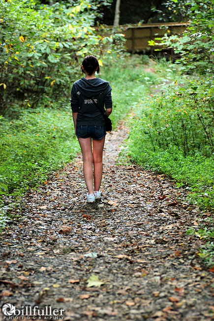
Once parked, you'll see a bridge near a picnic shelter.  This is the trailhead.  Turn right after crossing the bridge and you'll see an old logging road heading into the forest.  At this point there is also some foot trail steps climbing up into the woods on your left.  Instead of taking this trail, Taylor and I just walked up the 
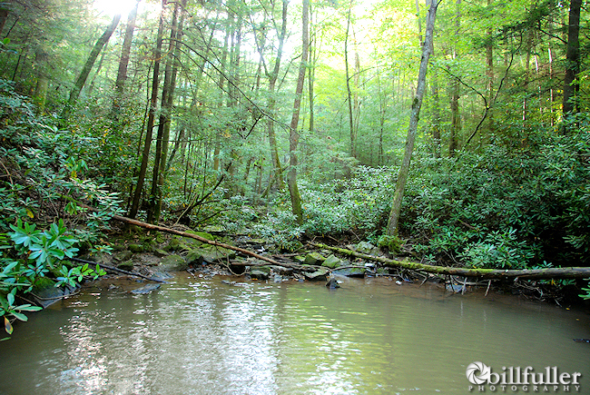
logging road as it's in much better condition.  Soon you'll come to another bridge crossing the creek, which has been recently 
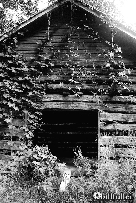
constructed. You'll then pass by an old log cabin, and eventually you'll have to ford the creek (which is easy in low water conditions, but could be tough in higher flow).  After about 
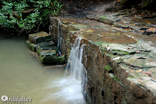
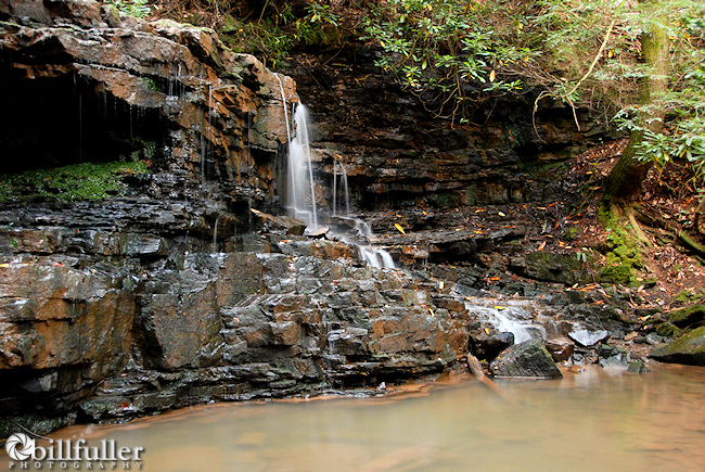
one mile you'll come to Laurel Run Falls on your right. 


Note:  Taylor and I had original intentions of going on upstream to Kiner Falls, but Kiner Creek was dry so we stopped short of the falls and returned.  However, if you wish to go on to Kiner, simply keep heading upstream after Laurel Run Falls until you come to a junction in just a few hundred feet (where the main trail turns sharp to the left).  This small stream is Kiner, you'll need to leave the main trail here, ford Kiner Creek, and take the unmarked trail on up to the waterfall.        


Hike Rating -


Bill's Overall Rating:

Distance:  2.0 miles

Difficulty:  EASY

Type: OUT & BACK

Vista Rating: 

Waterfall Rating:  H(1) + F(3) + V(3) + W(2)  + G(4+4+6) = 24

Water Crossings:  2-MODERATE (EASY in times of low water flow)

Scrambling/Climbing:  EASY

Hazards:  slippery slopes, steep slope

Significance:  waterfall

Recommendation:  family/beginner, average


Click here for hike rating reference guide.


Copyright © 2007  All Right Reserved.  All Images, Logos, and Photos are the property of

HikingBill.com or Bill Fuller Photography