|
Highway 421 TO DAMASCUS |
| |
|
|
|
April
25th & 26th, 2009 -
We had another great Appalachian
Trail backpacking trip with our friends Erick and Amy McMurray,
which tied in a section none of us had done before, just south
of Damascus. We started at Highway 421 (called Low Gap),
and went north on the A.T. |
| |
|
 |
|
 |
|
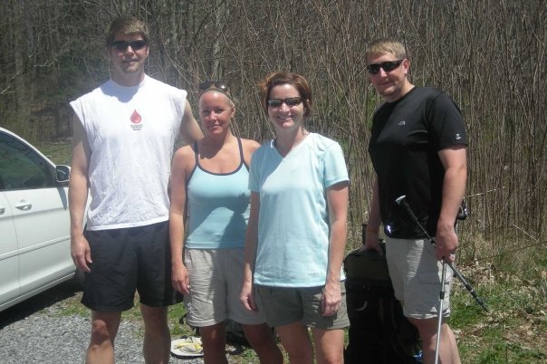
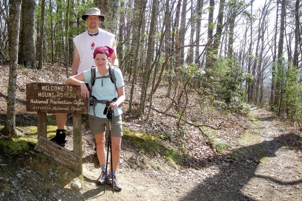
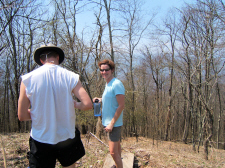
Start of Trip at Highway 421 (Low Gap) |
|
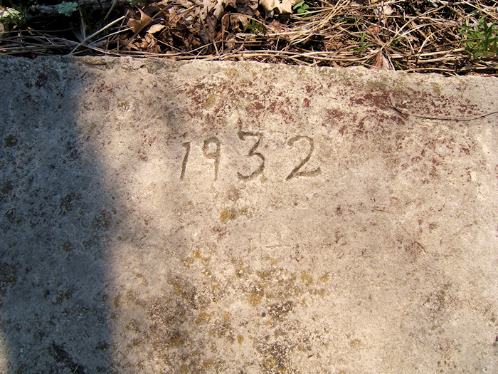
Old Concrete Foundation
that Once Held a Firetower Built by the CCC |
|
|
|
|
 |
|
 |
|
Erick and Amy Rest
Near McQueen's Knob |
|
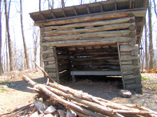
McQueen's Knob - Old
Emergency Shelter |
| |
|
There had been a
controlled forest burn the day before so the skies were very
smoky, which limited our views. It was also unseasonably
hot for April, and the gnats were almost unbearable at times.
After about 3.5
miles we
passed by the old emergency shelter at McQueen's Knob, and then
arrived at Abingdon Gap shelter after ~5 miles where we refilled
our water supply. |
| |
|
|
 |
|
 |
|
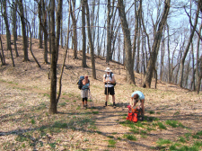
Near Abingdon Gap |
|
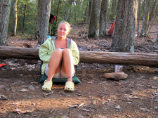
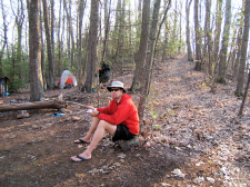
Shannon at our Campsite |
| |
|
|
 |
|
 |
|
Erick |
|
Amy, Shannon, and Bill
Enjoying Dinner |
| |
|
|
|
Thunderstorms were starting to pop
up all around us so we quickly set up camp on a ridge not far
off the trail. Luckily we avoided most of the rain, and
had a good evening with a nice fire and dinner.
We hiked approximately 8.3 miles on
day-one (including the .3 tenths of a mile on the blue-blaze
trail at Abingdon Gap to get water).
|
| |
|
|
 |
|
Erick and Amy at the
TN/VA State Line |
| |
|
|
|
In the morning we got back on the
trail early and hiked on toward Damascus. We went on past
the trail to Backbone Rock, and then crossed the state line into
Virginia. We were in Damascus not long after noon.
We hiked approximately 6.5 miles
on the second day
for a total trip of 14.8 miles.
|
| |
|
|
 |
|
 |
|
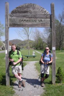
Bill and Shannon at the A.T.'s
Entrance Sign into Damascus |
|
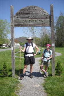
Erick and Amy at the End of the
Hike |
| |
|
|
|
Total Miles
Hiked: 14.8 |
|
Hike
Rating -
Bill's
Overall Rating: 
Distance:
14.8 miles
Difficulty:
MODERATE
Type:
Continuous
Vista
Rating:
Waterfall
Rating: NONE
Water
Crossings: few EASY Scrambling/Climbing:
NONE Hazards:
slippery slopes
Significance:
Appalachian Trail, A.T. shelters (1), unofficial emergency
shelter, remnants of lookout tower. Recommendation:
average backpack
Click
here for hike rating reference guide.
|