|
Getting
There (Elk Falls) - for
Blue Hole directions click here:
Driving
- From
Elizabethton, take 19E east and continue on through the town of
Roan Mountain and into North Carolina. Just before getting
into the community of Elk Park, turn left onto Old Mill Road
(there's a black sign there for Elk Falls, but it's hard to read).
Go about .25 mile on Old Mill Road, and then take a left onto Elk
River Road. Follow it for four miles into the Pisgah
National Forest, to a parking at the end of the road.
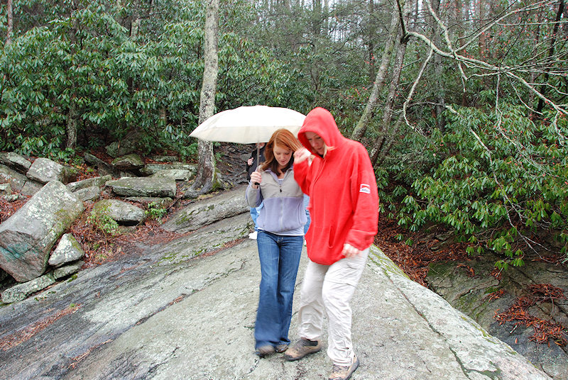
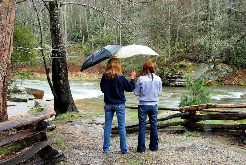
Trails
- Begin on the
yellow-blazed trail from the parking area. This is a very
short and highly traveled trail, which is approximately .1 mile to
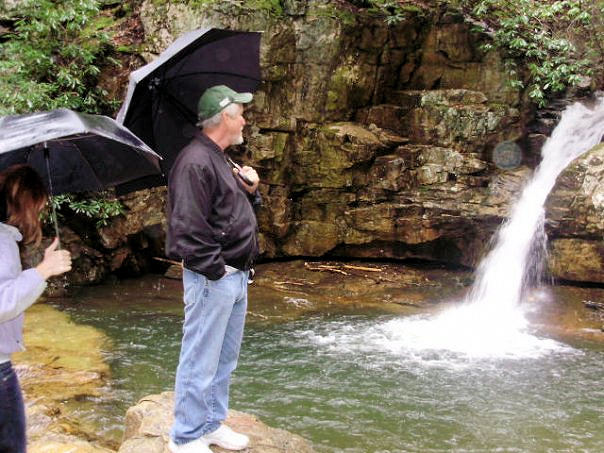
Elk Falls.
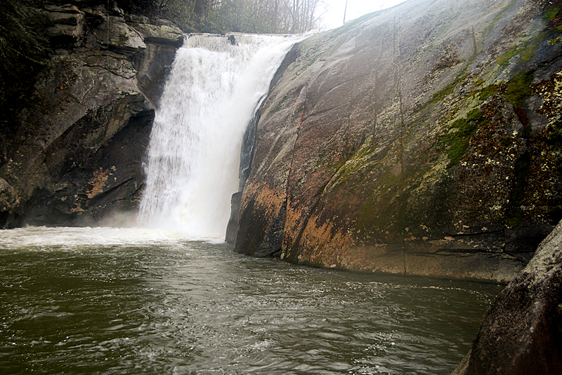
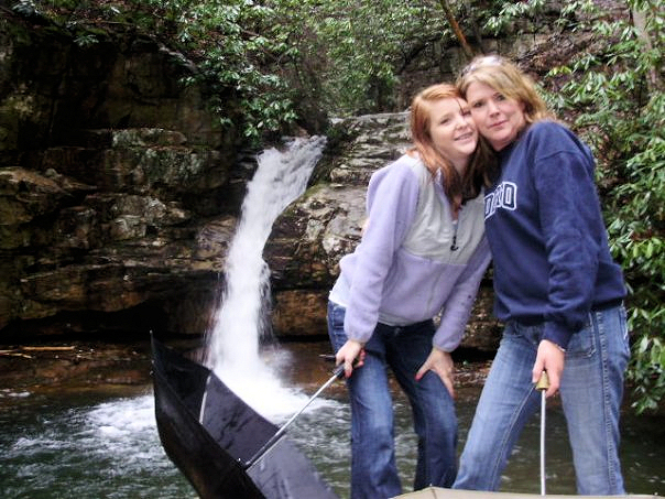
Hike
Rating (ELK FALLS)-
Bill's
Overall Rating:
Distance:
0.2 miles
Difficulty:
VERY EASY
Type:
OUT & BACK
Vista
Rating: 
Waterfall
Rating: H(6)
+ F(9) + V(5) + W(3)
+ G(3+3+6) = 35 Water
Crossings: NONE
Scrambling/Climbing:
EASY
Hazards:
slippery slopes, steep slope
Significance:
waterfall
Recommendation:
beginner/sight-seer
Click
here for hike rating reference guide. |