| CARVER'S
GAP TO HIGHWAY 19E |
| |
|
|
|
December
26th & 27th, 2008 -
I had a great backpacking trip
with my two good friends Sam Humston and Jimmy Humston on my
favorite section of the Appalachian Trail in Tennessee.
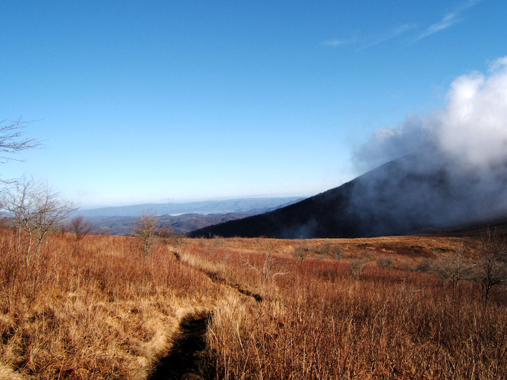
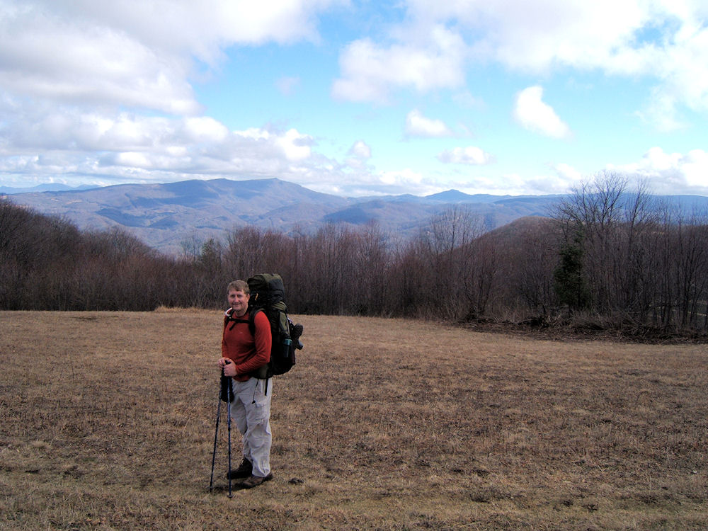
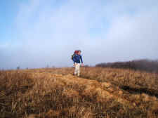
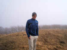
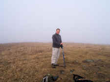
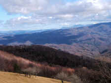
We
started at Carver's Gap (elevation 5512') heading north on the
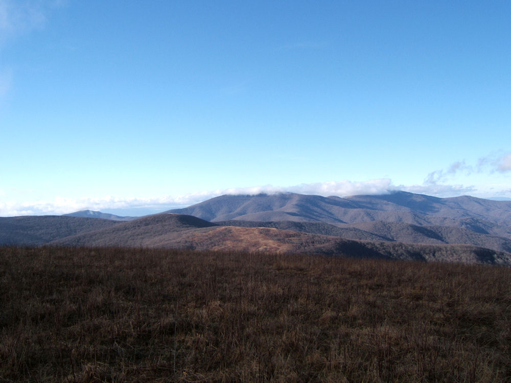
A.T. The fog was very dense as we crossed the summits of
Round Bald and Jane Bald so we didn't get the incredible views
we'd hoped for, but the rain held off for us making it a
pleasant hike. |
| |
|
|
|
|
|
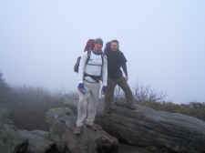
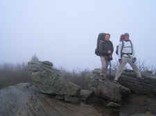
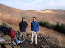
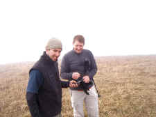
Brothers
Jimmy and Sam... Near Jane Bald |
|
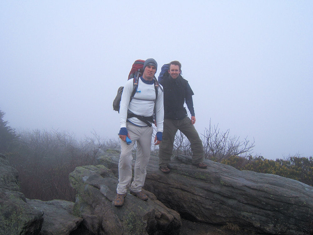
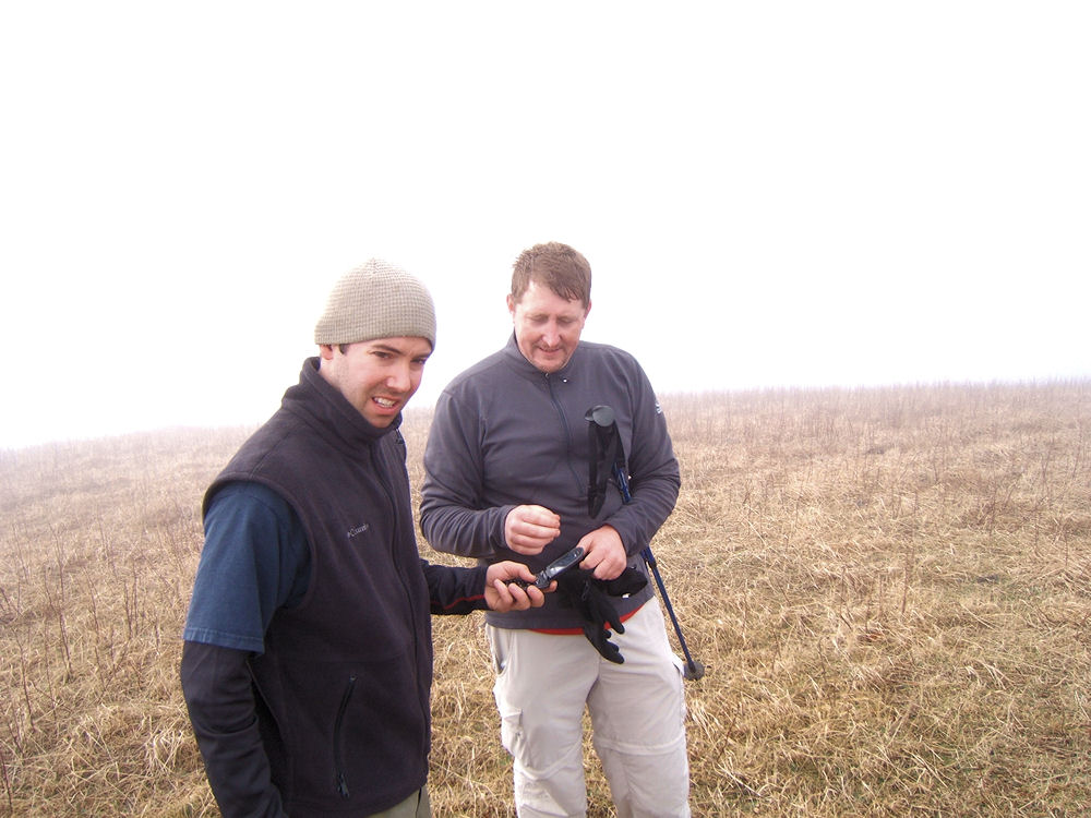
Bill
and Jimmy in the Thick Fog |
| |
|
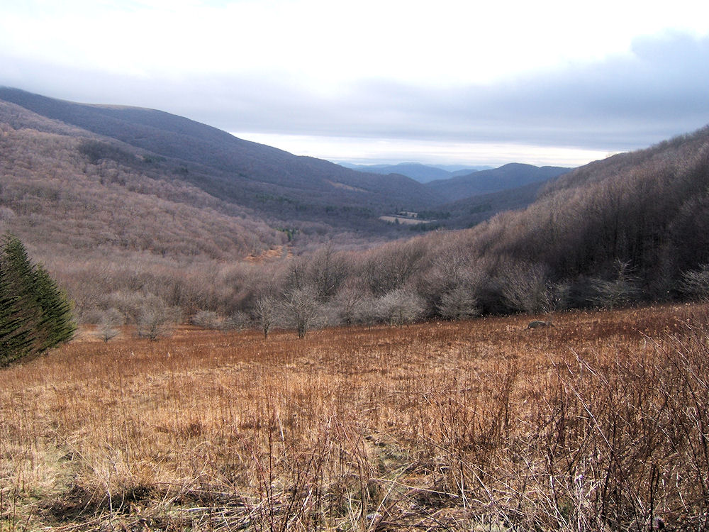
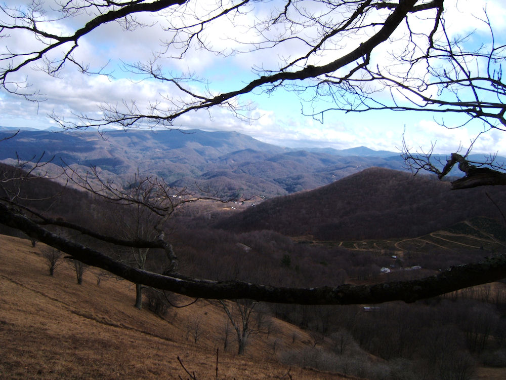
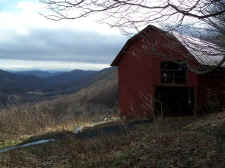
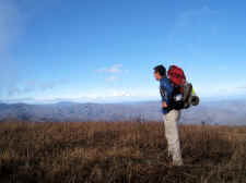
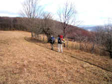
We descended down
into Yellow Mountain Gap, and stopped at the Overmountain Barn
for a break and a snack. At this point we were under the
clouds giving us great views down Roaring Creek Valley into
North Carolina. We almost decided to stay at the barn for
the night, but it was early in the day so we flipped a coin to
decide if we should continue. The coin said
"go", so we headed on up Little Hump
Mountain. |
| |
|
|
 |
|
 |
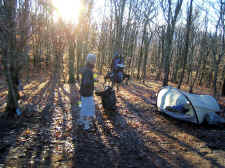
| View
Down Roaring Creek Valley from the Overmountain Barn |
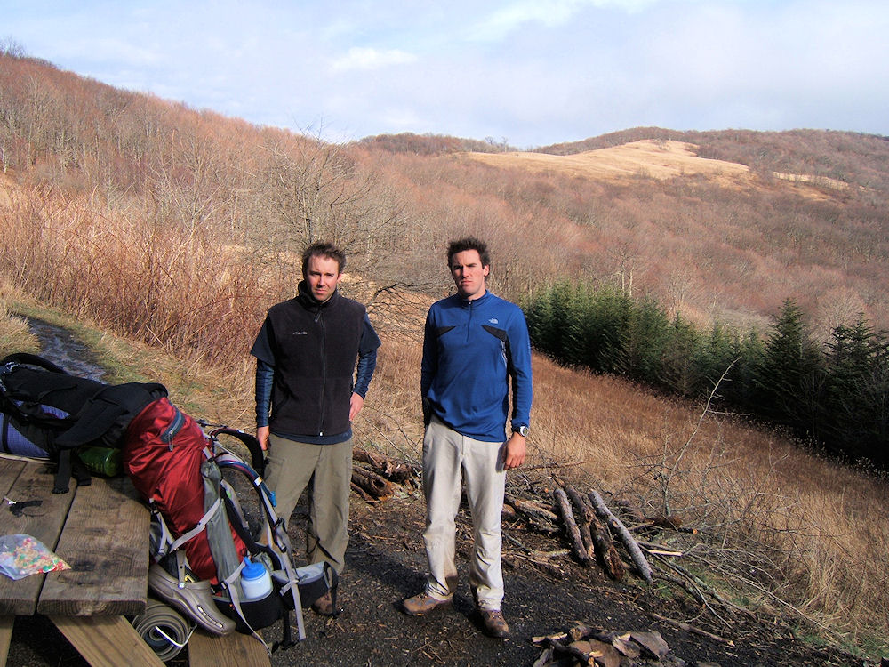
|
Sam
& Jimmy at the Overmountain Barn |
| |
|
|
 |
|
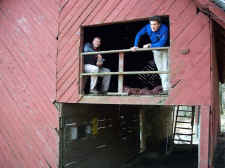 |
| Another
View of the Barn |
|
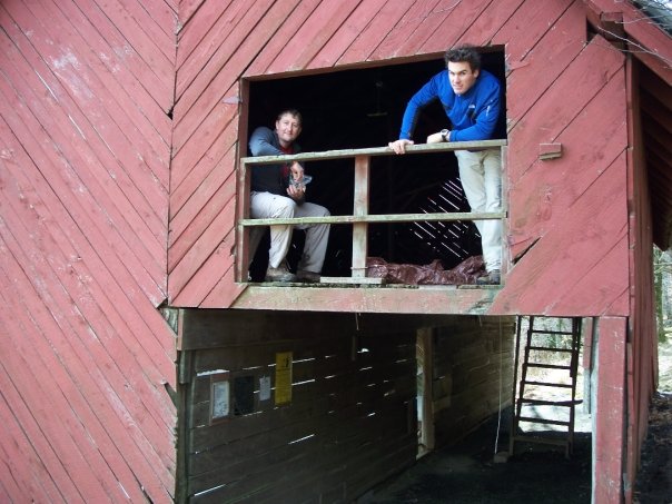
Bill
and Jimmy Stop for Lunch in the Loft |
| |
|
|
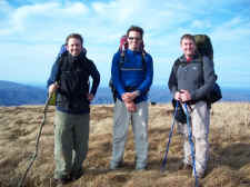
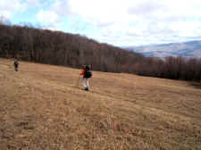
| The
climb from the barn to the summit of Little Hump Mountain is a
tough one... ascending from 4682' to 5459' in less than two
miles. It seemed even tougher late in the day. On
the summit we met a nice local couple that lives near Yellow
Mountain. We talked for a while, and they took the summit
photo for us. |
| |
|
|
 |
|
 |
|
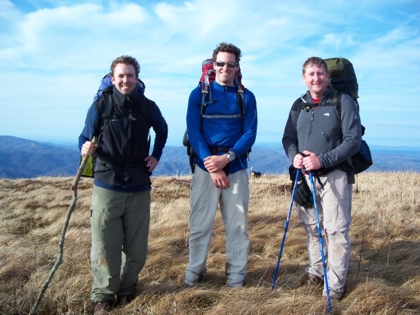
Sam,
Jim, and Bill on the 5459' Summit
of
Little Hump Mountain |
|
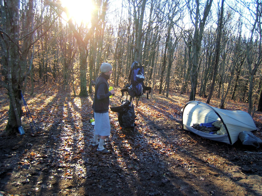
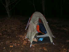
My
Tent Near Bradley Gap |
| |
|
|
|
Following Little Hump we descended
down into Bradley Gap where we found a nice campsite and spring
in a grove of trees. We set up our tents, refilled our
water supply, and built a nice fire. After cooking dinner
we set around the campfire and talked for quite a while into the
night. The temperatures were only around 40 degrees, but
the brisk wind made it seem much colder. This completed an
8.0 mile day (including our .6 mile trek down to the barn and
back).
We rolled out about 7:30 the next
morning, packed up, and were back on the trail around
8:30. We immediately had our hardest climb of the entire
trip... Hump Mountain's 5587' summit. Bradley Gap gave us
nice views early in the morning though, which made the climb
enjoyable. |
| |
|
|
 |
|
 |
| Sammy
in the Morning |
|
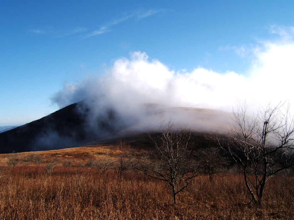
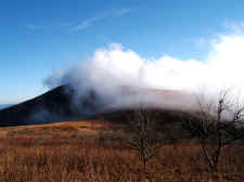
My
First View of the Fog-
Covered
Hump Mountain |
| |
|
|
 |
|
 |
| Nice
Views Toward Watauga Lake |
|
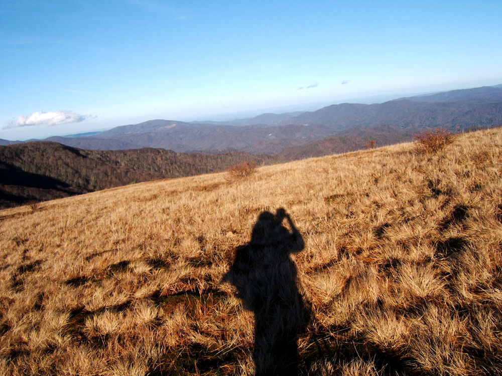
Shadow
Self-Portrait at Bradley Gap |
| |
|
|
|
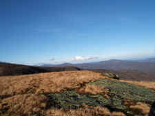
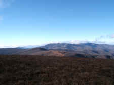
After a sharp ascent of
about 700 feet in less than a mile, we reached the summit of Hump
Mountain. Clouds were rolling over the peak, but cleared from time
to time to give us nice vistas, especially looking back at the mountains
we'd crossed the day before. |
| |
|
|
 |
|
 |
| Views
from the Climb Up Hump Mountain |
|
Jimmy
on the Final Approach to Hump's Summit |
| |
|
|
 |
|
 |
| Sammy
Summits Hump Mountain |
|
Jimmy
Checking Out the Wonderful Views
When
the Fog Briefly Clears |
| |
|
|
 |
|
 |
| Looking
Back at the Mountains We Traversed Yesterday |
|
Jimmy
on the 5587' Summit |
| |
|
|
 |
|
 |
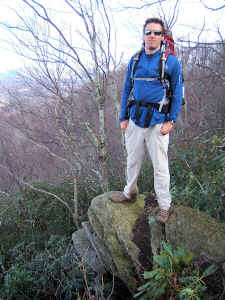
| Bill
on the Summit of Hump Mtn |
|
Sam
and Bill Taking Photos |
| |
|
|
| We
left Hump Mountain and descended down a very windy and foggy Houston
Ridge, hoping to see some of the long-horn cattle in the area, but we had
no luck. I think we were the only creatures crazy enough to be on
that windy ridgeline! |
| |
|
|
 |
|
 |
|
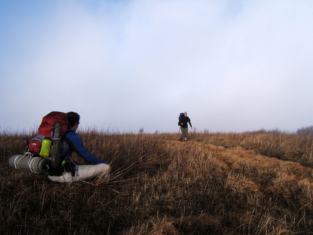
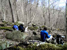
Sam
and Jim Stopping
for Lunch on a Rocky Section of the Trail |
|
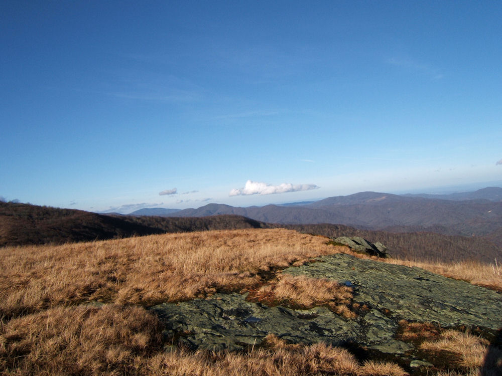
Views
Toward Sugar and Beech Mountains
(Taken
Near Doll Flats) |
| |
|
|
|
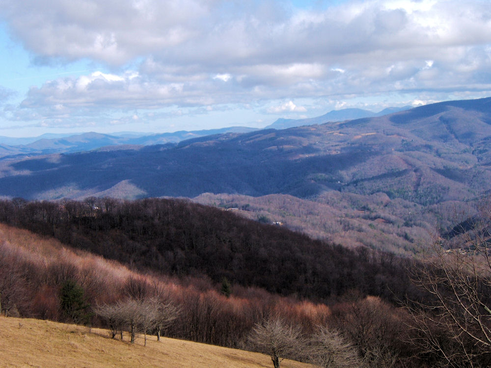
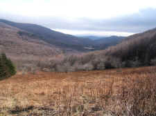
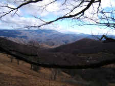
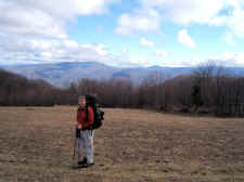
We finally got down out of the
wind as we made our way to Doll Flats. This area gave us
some of the best views of our trip looking into the mountains of
western North Carolina. |
| |
|
|
 |
|
 |
| More
Views |
|
Sam
and Jim Make Their Way to Doll Flats |
| |
|
|
 |
|
 |
| Sam
and Bill |
|
Bill at Doll Flats |
| |
|
|
 |
|
Jimmy on the Descent to Highway
19E |
| |
|
|
|
We made a fast descent for 3
more miles past Doll Flats until we arrived at Highway 19E (elevation
2880'), where Jimmy and Sam's Mother picked us up and shuttled us back to
my car at Carver's Gap, ending a great trip.
We hiked 6.3 miles the
second day, giving us a total trip of 14.3 miles. Thanks to Sam
Humston for some of the photos above! |
|
|
|
Total
Miles Hiked: 14.3 |
|
Getting
There:
Driving
- From
Elizabethton take Rte. 19E to the town of Roan Mountain.
Turn right onto Rte. 143 and proceed 12.8 miles to the TN/NC state
line. This is Carver's Gap. There's a parking lot on
your right.
Trails
- To go north on an Appalachian Trail (like we did)...
After
parking, cross the road and immediately ascend up the Appalachian
Trail following the white blazes. It is 13.7 miles to hike
to the next road crossing, which is Highway 19E.
|