| ROCKY
FORK |
| |
|
|
|
June
21st, 2008 - My
original plans were to guide a hike for the Unicoi Mountain Expo up
Rattlesnake Ridge today, but nobody signed up for it (I guess
because of the long strenuous climb). So, I decided to tag
along on David Ramsey's guided hike in the Rocky Fork Tract,
which turned out to be a real treat. David is the primary
advocate for the protection of Rocky Fork,
so his knowledge of this area is excellent. David's
distant cousin Carl Ramsey, a long-time resident of Rocky Fork
also joined us, giving us more history and education of this
beautiful area. For more information about Rocky Fork click
here.
|
| |
|
|
|

|
|
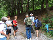
Everyone
Setting Out On Our Hike |
|
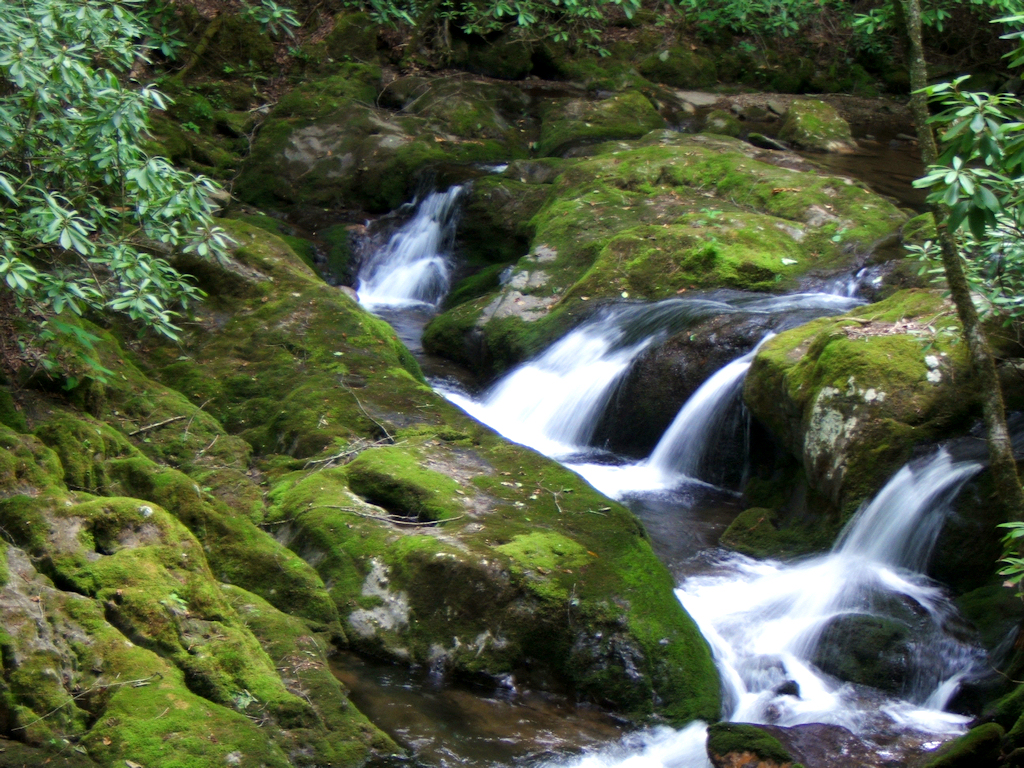
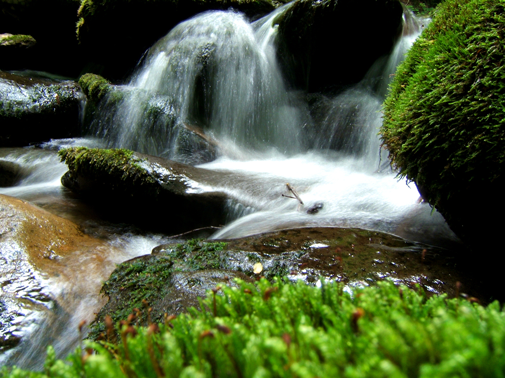
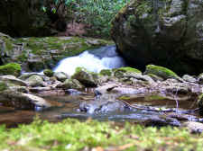
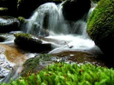
Beautiful
Cascades on Rocky Fork |
| |
|
|
 |
|
 |
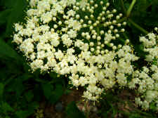
| You
Don't Realize the Beauty of Elderberry Until You Take a Close
Look |
|
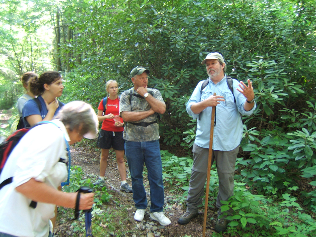
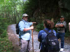
Our
Hike Leader David Ramsey (left), & Long-time Rocky Fork
Resident Carl Ramsey (rt.) |
| |
|
|
|
David led us up
the forest road to the convergence of Flint Creek and Rocky Fork
where a historic battle between John Sevier's troops, and the
Cherokee and Creek Indians took place in an adjacent
field. Many of these Native Indians lost their lives in
this field and the surrounding areas giving this spot great
historical importance. After David told us the story of this
battle, we turned around and made our way on up the forest road
to the higher elevations of Rocky
Fork. |
| |
|
|
 |
|
 |
|
David
Tells Us of the Frontier Battle of John Sevier & the Native
Indians... Very Near the Battle Site |
|
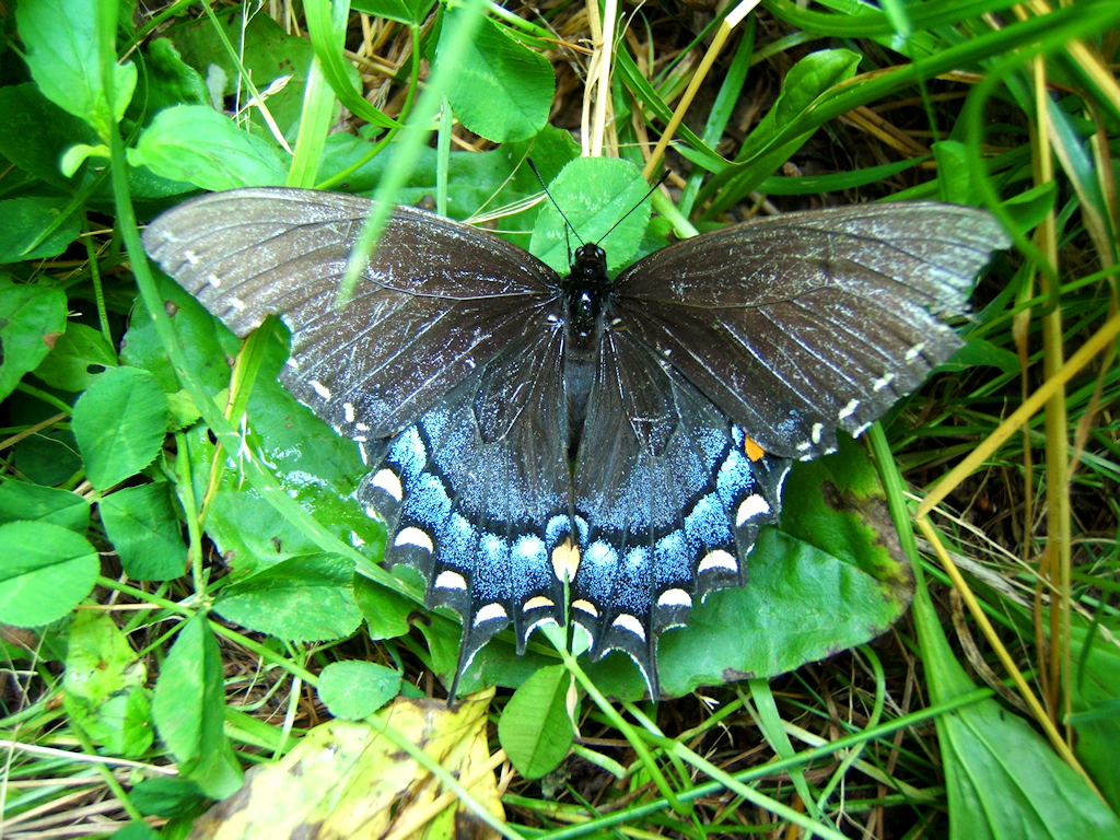
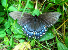
Black
Swallowtail Butterfly |
| |
|
|
 |
|
 |
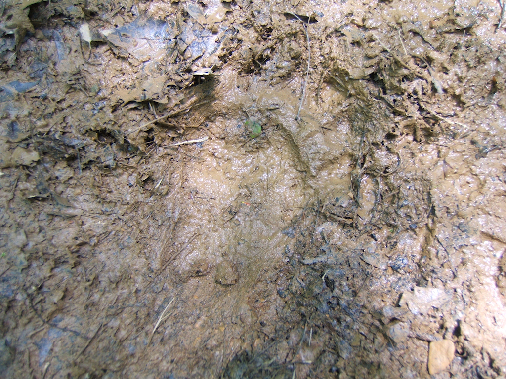
| It's
Hard to Make Out in the Photo, but this a a Fresh Bear Track
Near a Mud Puddle |
|
Rocky Fork |
| |
|
|
 |
|
 |
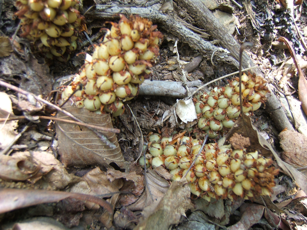
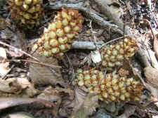
| Squawroot
(also called Bear Corn) |
|
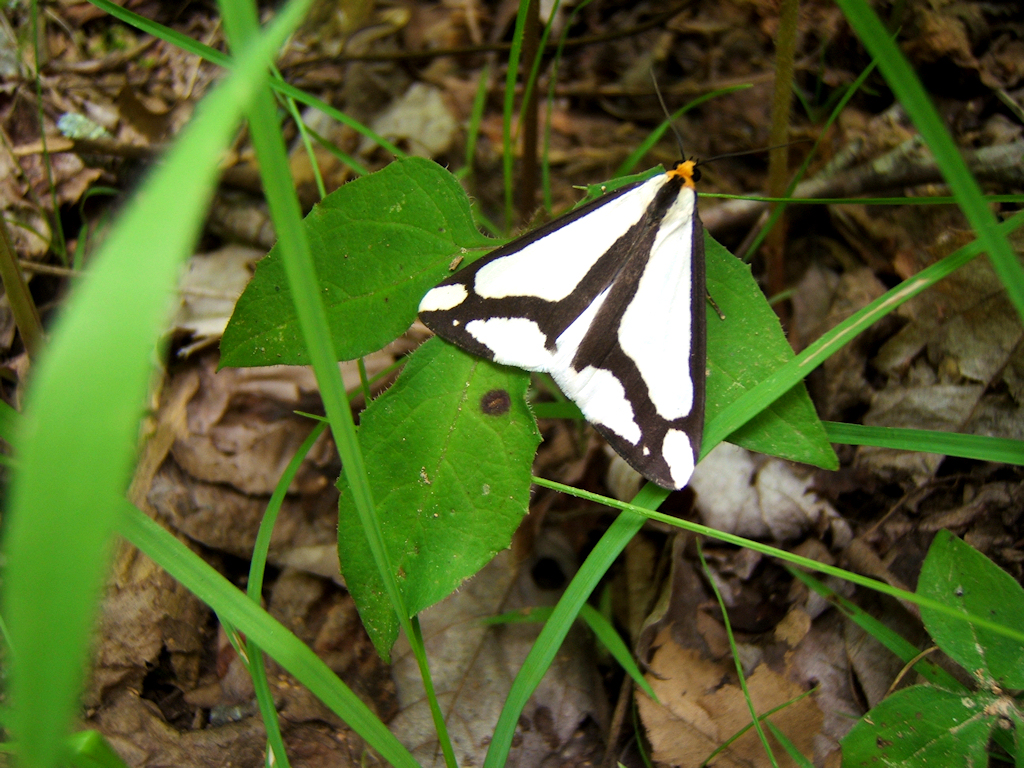
A
Unique "LeConte's Haploa Moth" |
| |
|
|
|
While making our way up the
trail it was evident of the vast diversity of wildlife and plant life in
this area. We were fortunate enough to see fresh signs of Black
Bear, Appalachian Brook Trout in the stream, and some members of our group
witnessed a Wild Turkey on the trail. I also took a bunch of photos
of wildflowers (as this area is filled with numerous species), along with
a couple of photos of butterflies and other insects. |
| |
|
|
 |
|
 |
| More
of Rocky
Fork |
|
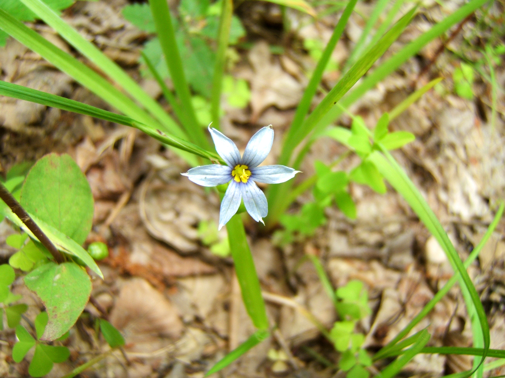
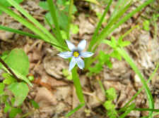
Blue-Eyed
Grass (A Member of the Iris Family) |
| |
|
|
 |
|
 |
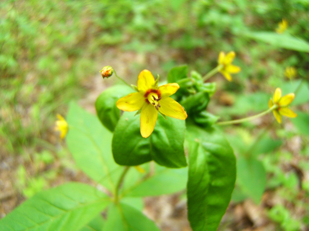
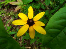
| Coreopsis |
|
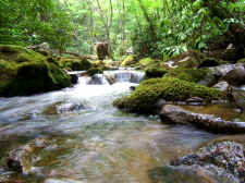
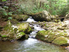
Pretty
Cascade Where We Stopped for Lunch |
| |
|
|
|
We continued on up the
forest roads for a couple of miles and stopped for lunch alongside the
stream. David and Carl entertained us with more stories of this
wonderful area and its past. After making our way back to our
vehicles, we stopped by Carl's rental cottage called "The Resting
Place" where he gave us a tour of his cabin and property right next
to South Indian Creek. This was the end to a great hike and a great
day in Rocky Fork. I think we hiked about 5.0 miles. I plan on
returning very soon to explore some more remote trails in this area, and
check out a few of the waterfalls, which are located on primitive
trails.
|
| |
|
|
 |
|
 |
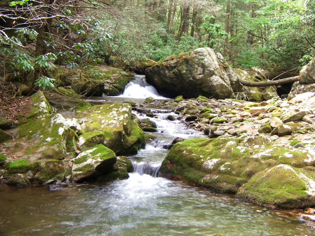
| Cascades |
|
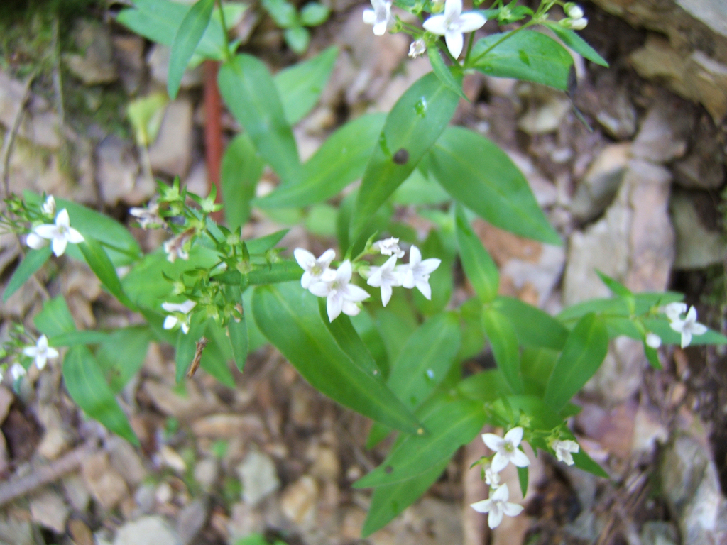
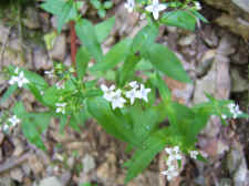
Unknown
Wildflower... I Think Some Kind
of
White Bluet |
|
|
 |
|
Whorled Loosestrife |
|
Total
Miles Hiked: 5.0 |
|
Getting
There:
Driving
-
Take the Flag Pond exit off of I-26 (exit
#50). At the stop sign turn left onto Higgins Creek Road.
Drive ½ mile until you reach Rt. 23. Turn right and travel
2¼ mi. thru
Flag Pond, then turn left on Rocky Fork Road. After ¾ mi. you
will see a gravel pull-off to the left. Park here (out of the way
of the gate) and follow the gravel lane into Rocky Fork on
foot.
Trails
- There's no official trail maps
yet for the Rocky Fork area, just a serious of forest roads and
primitive trails. My National Geographic topo maps do show
numerous forest roads, but I'm unsure of the accuracy of the
map. When I return, I'll try to map some of these roads with
my GPS and maybe come up with some better trail
directions.
|
|
|