|
June
12th, 2008 - I'm
leading a hike up Rattlesnake Ridge (on Unaka Mountain) for the Unicoi County
Mountain Expo
on June 21st, so decided to head out today and scout the
trail. I'd hiked this trail a few months ago (see
here), but wanted to make sure it was still in decent
condition.
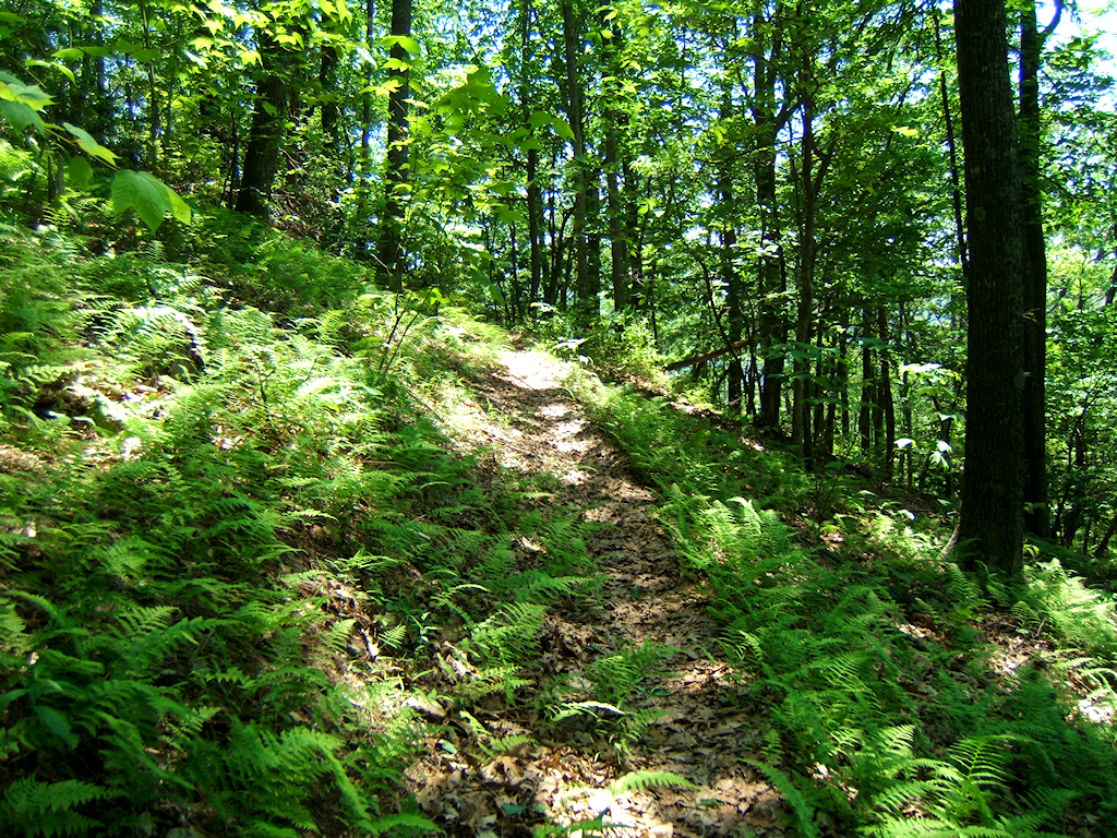
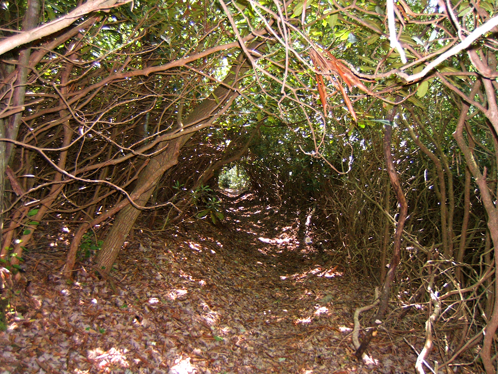
I started at
Rock Creek Campground at 2200' elevation, and made my way up the
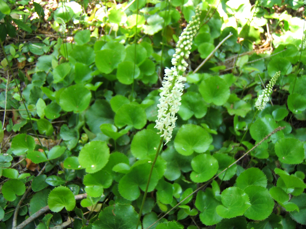
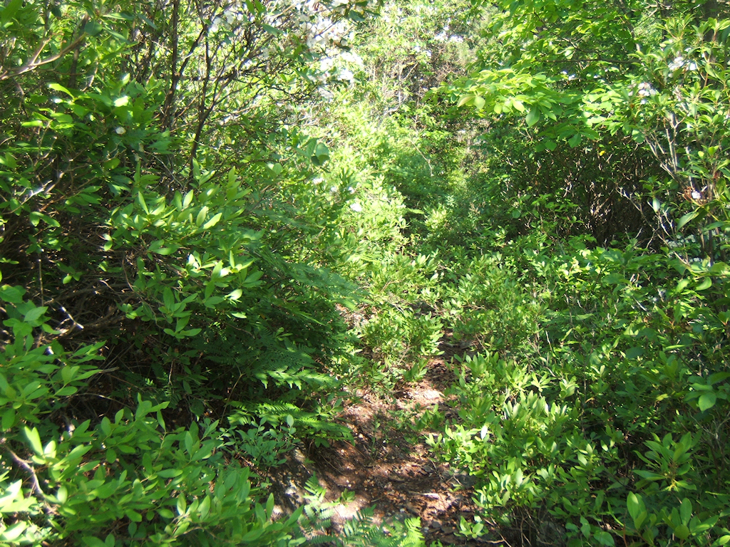
northwest side of the mountain. The trail is quite steep
in many places but was in reasonably good shape except for lots
of weeds and underbrush growing into it. I meant to bring
my hand-pruners, but I unfortunately forgot. By the time I
made it to Pleasant Garden, my legs were all scratched up from
briars and weeds.
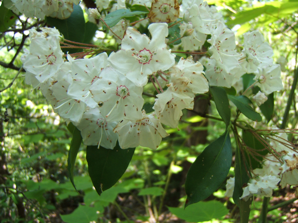
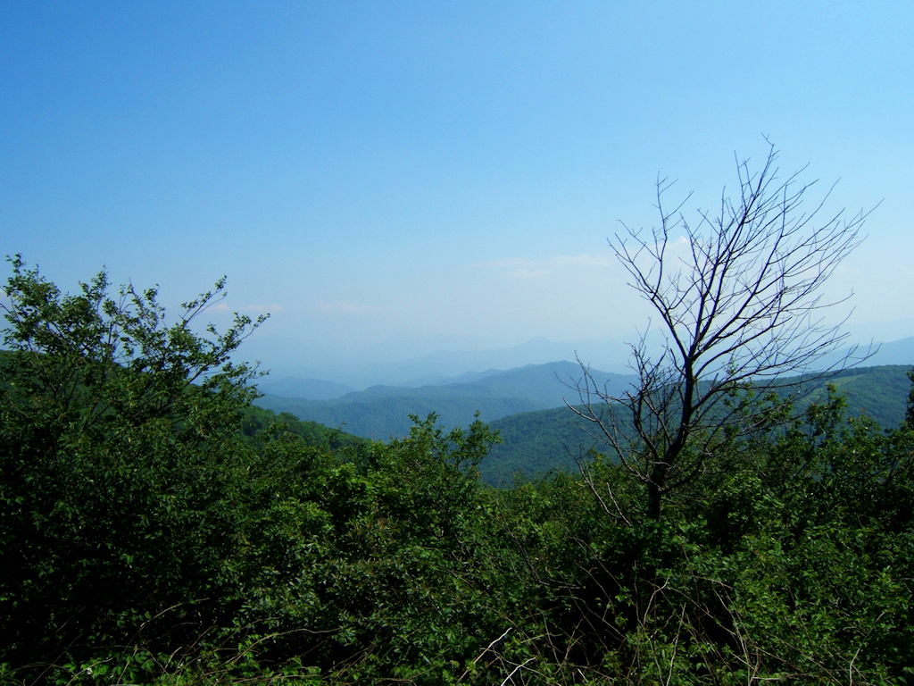
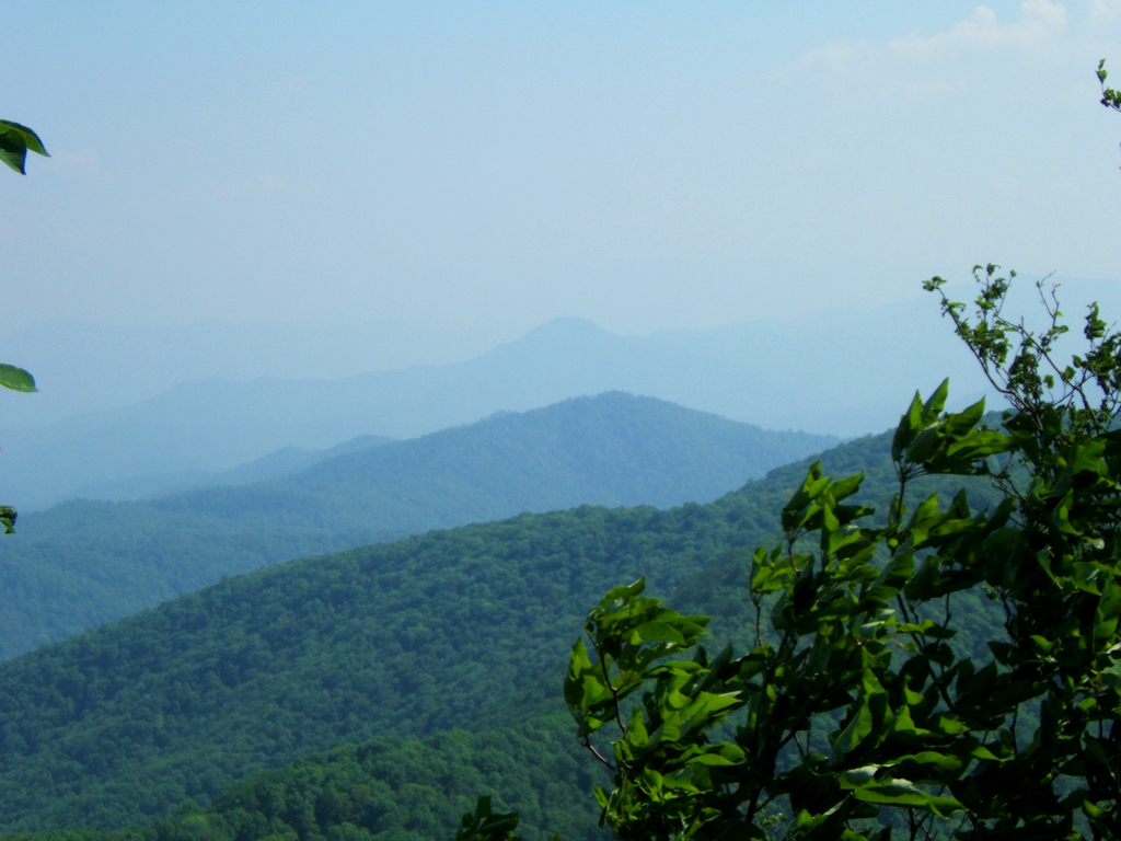
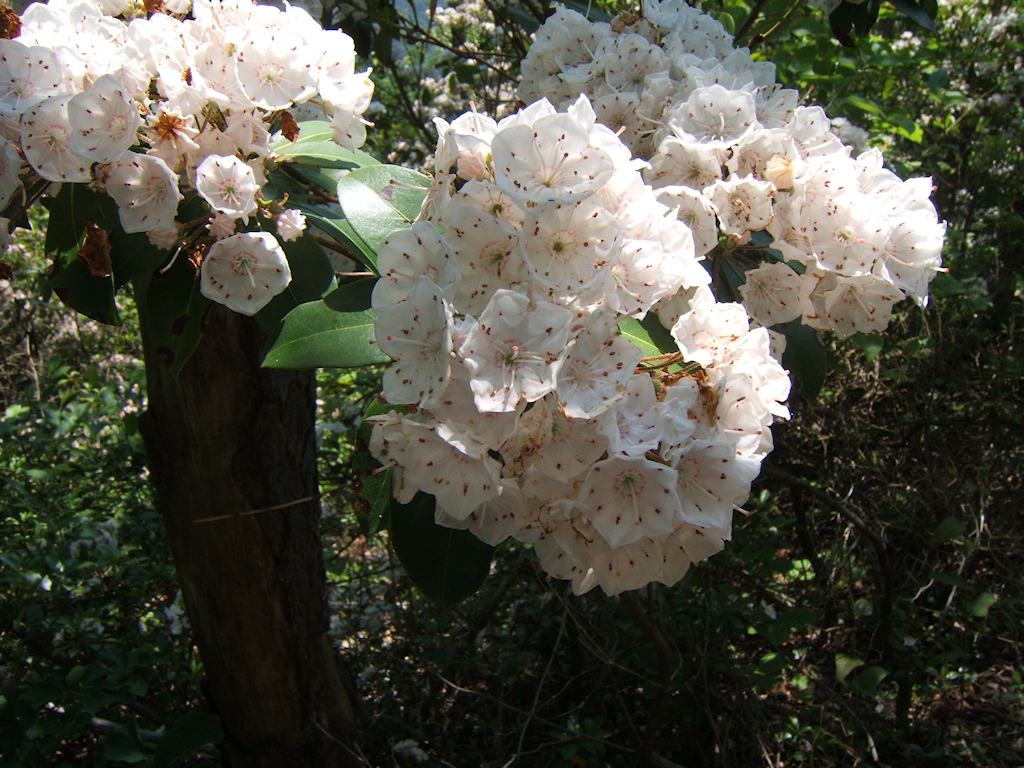
It
was a nice hike nevertheless, but very tough in the high
heat. This climb ascends from 2200' to 4800' in just four
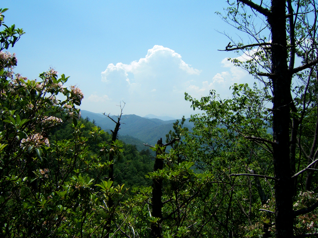
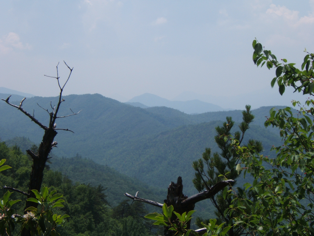
miles so it's a pretty good workout. I spent a little bit
of time at Pleasant Garden with my map and compass, spotting the
surrounding mountains before I made my descent. I may try
to come back one more time before the Expo hike to do a little
cutting on the briars and
weeds. |