| BAYS
MOUNTAIN PARK - LOOKOUT TOWER & DOLAN BRANCH FALLS |
| |
|
|
|
April
16th, 2008 - Campbell
and I had a great hike at the Bays Mountain Park near
Kingsport, Tennessee.
We
first set out on the Lakeside Trail (elevation 1850') heading
around the east side of the Kingsport Reservoir. This
trail loops the entire lake, but after approximately 0.8 mile we
turned onto the short, 0.1 mile Hemlock Trail. This then
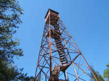
ran into the Fire Tower Trail, which was a steady climb for the
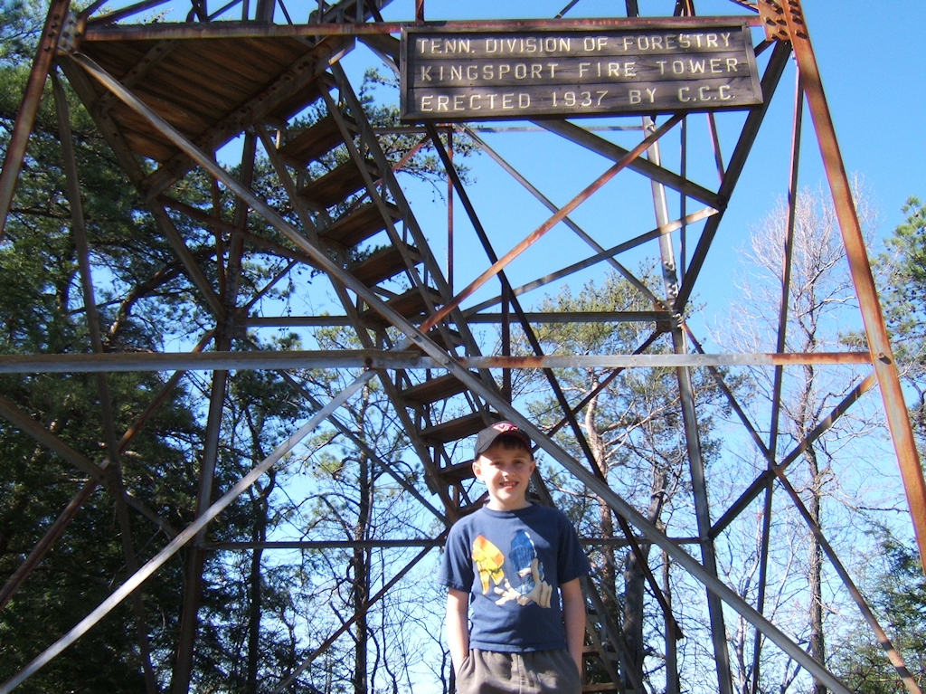
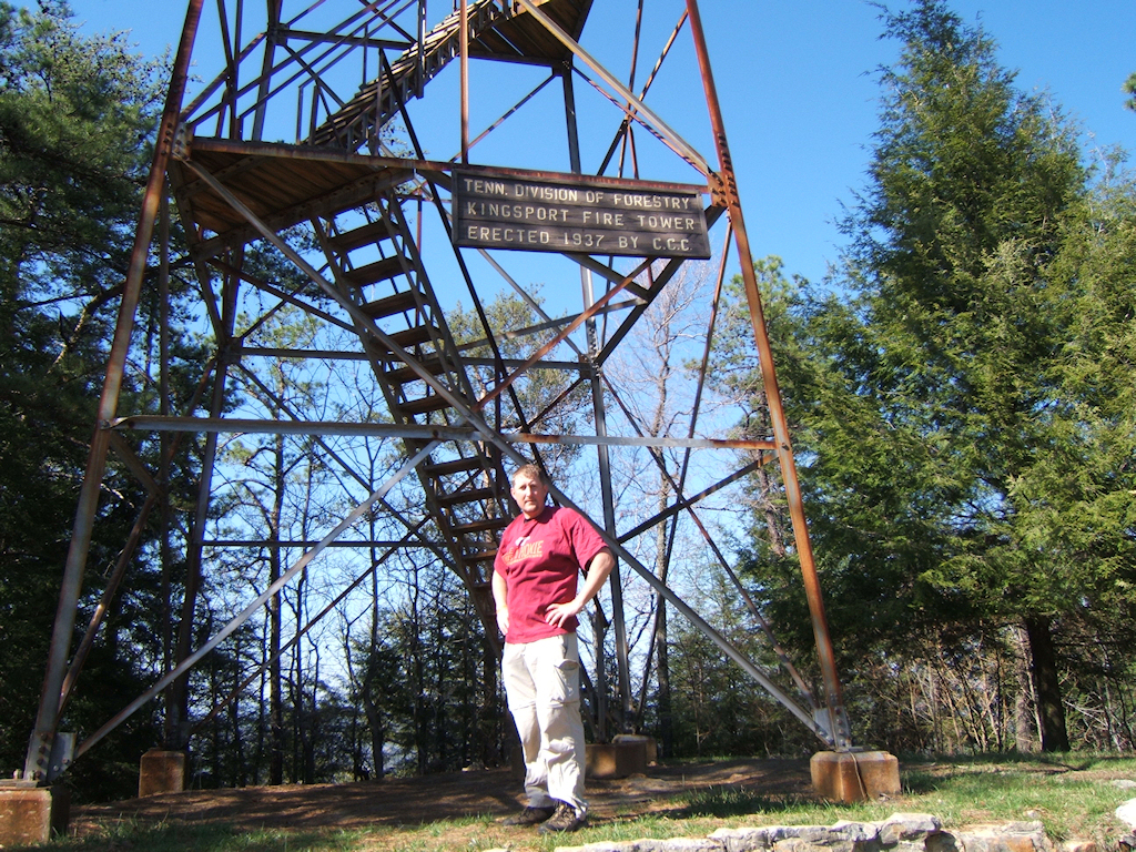
next 0.7 mile. We soon reached the tower at elevation
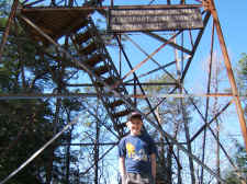
2405'. After researching I found that this tower is
actually named the Garden Mountain Kingsport Tower, not the Bays
Mountain Tower as I expected. It was constructed in 1937
by the Civilian Conservation
Corps. Cam
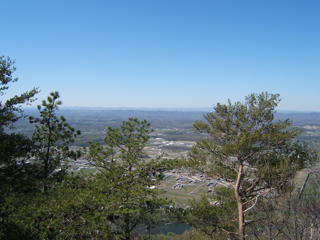
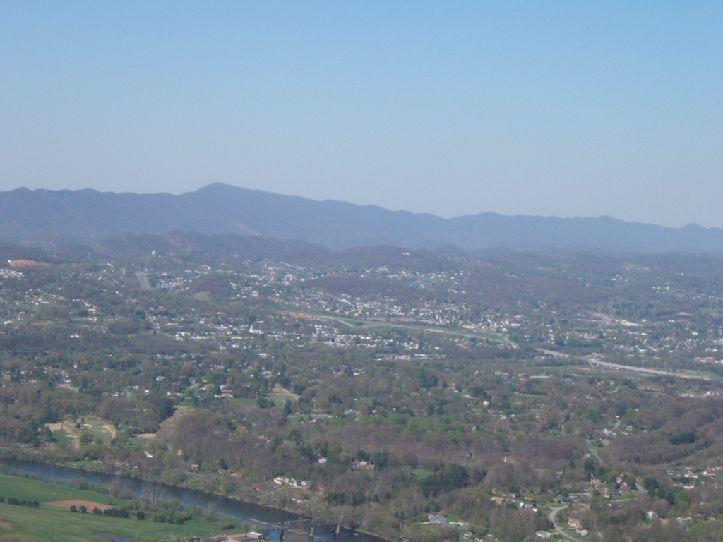
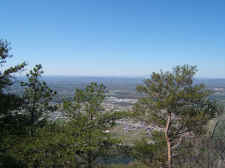
and I rested and talked on a nice bench next to the tower, and
then we climbed up for some awesome views of the Holston River,
the Army Ammunition Plant, and the Clinch Mountains toward
Virginia. We took a few
photos, then descended off the mountain back to the Lakeside
Trail. |
| |
|
|
|
|
|
The
Garden Mountain Kingsport Lookout Tower |
|
Views
from the Tower |
| |
|
|
 |
|
 |
| Looking
Toward Virginia With the Holston River in the Bottom of the
Photo |
|
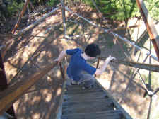
Campbell
Coming Down the Fire Tower Steps |
| |
|
|
 |
|
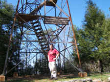 |
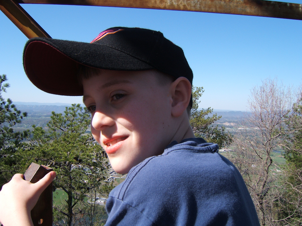
| Cam
at the Base of the Tower |
|
Cam
and I Both Wore VA Tech Colors as Today Was the One Year
Anniversary of the Shootings |
| |
|
|
|
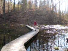
Once back on the Lakeside Trail,
we continued making our way completely around the Reservoir.
We passed through numerous Hemlocks and bridges, which
crossed small streams and many corners of the lake. After
approximately 1.5 more miles on this trail we reached the dam
and were soon back at the parking area. |
| |
|
|
 |
|
 |
| Campbell
on the Fire Tower |
|
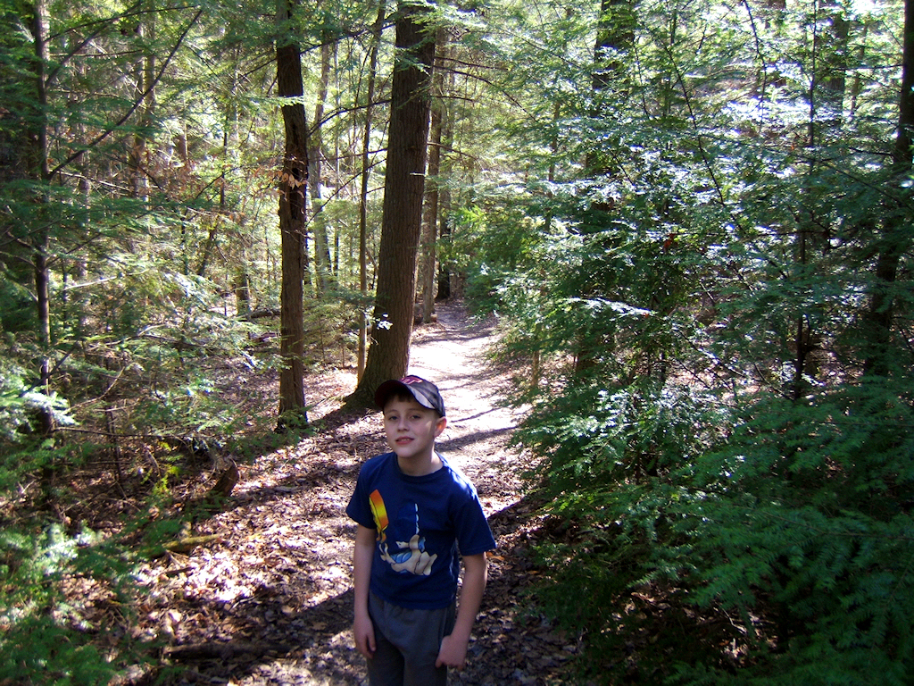
Taking
a Break in a Pretty Hemlock Forest |
| |
|
|
 |
|
 |
| Bill
Along the "Lakeside Trail" |
|
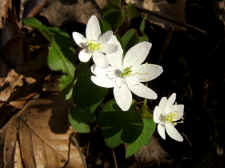
Wildflowers
- False Rue Anemone (I think?) |
| |
|
|
 |
|
 |
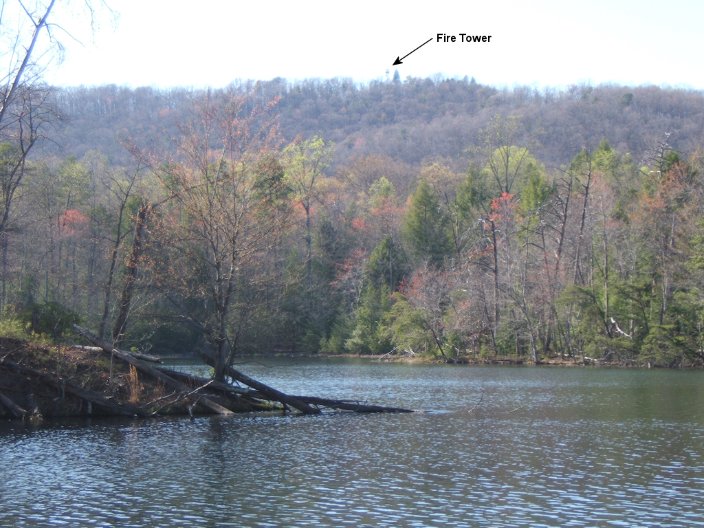
| A
View of the Fire Tower from the Lakeside Trail |
|
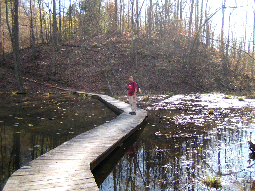
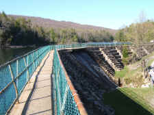
The
Kingsport Reservoir
Dam |
| |
|
|
|
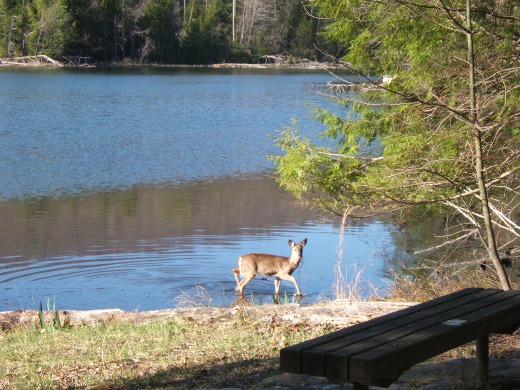
Since
we had some daylight left, we explored the wildlife in the
park. We were able to get up close to three deer while
making our way to the Gray Wolf area. We also stopped by to
see the River Otters, Bobcats, and the Owls. |
| |
|
|
 |
|
 |
| Cam
on a Dam |
|
A
Small Deer Drinking from the Lake |
| |
|
|
 |
|
 |
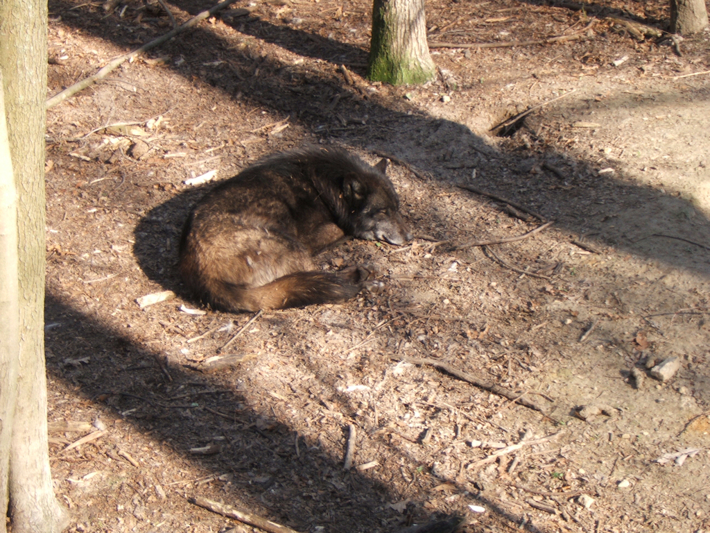
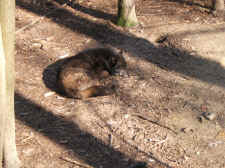
| A
Gray Wolf Taking a Nap (photo taken from behind the fence of course!) |
|
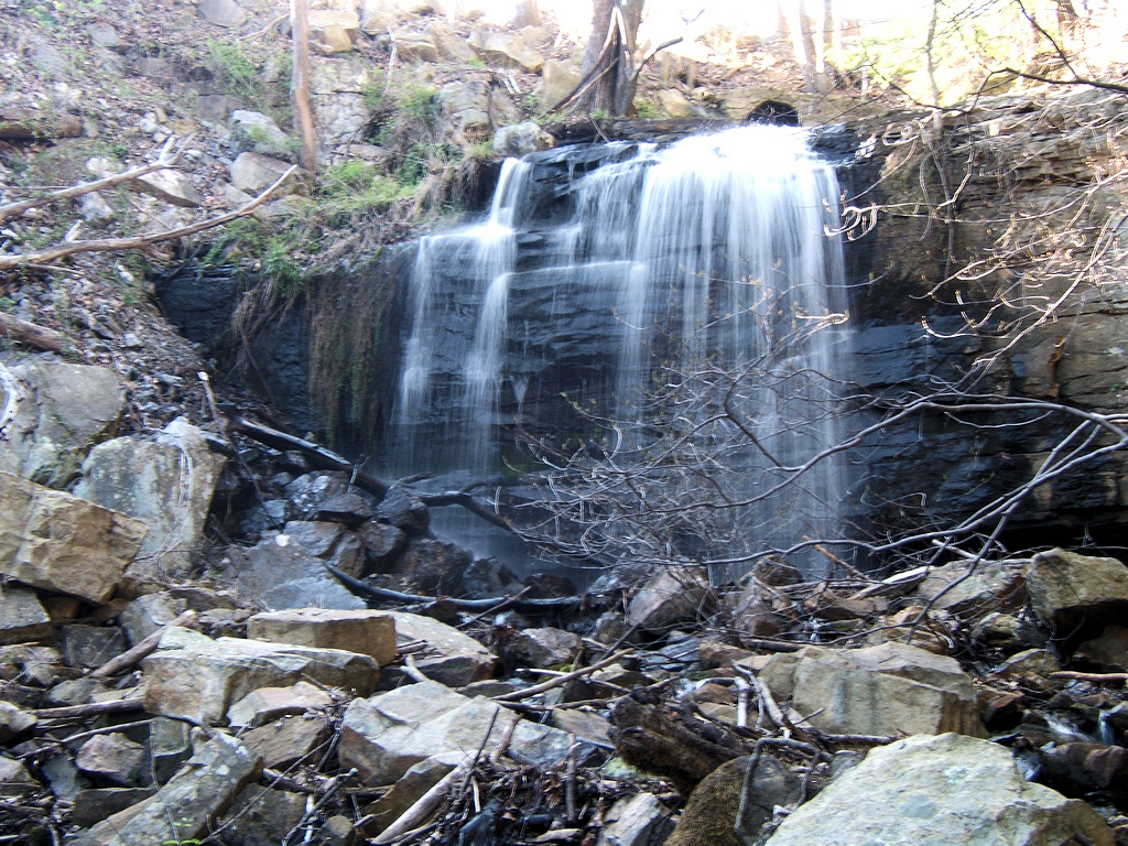
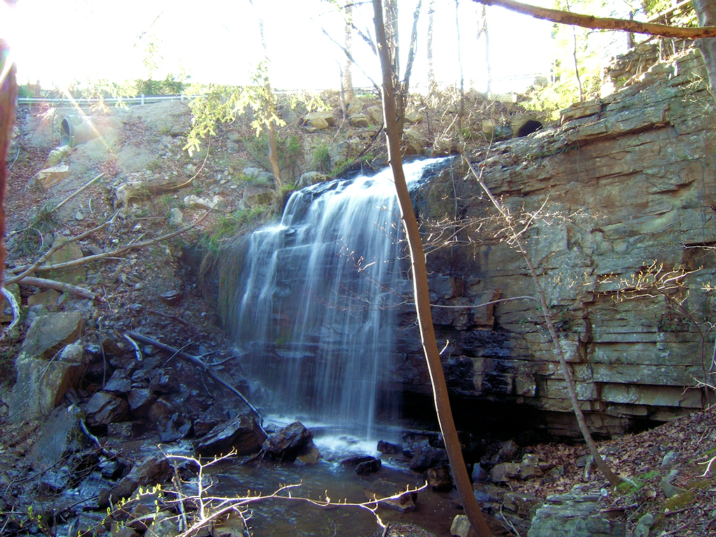
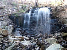
20'
Dolan Branch Falls |
| |
|
|
 |
|
 |
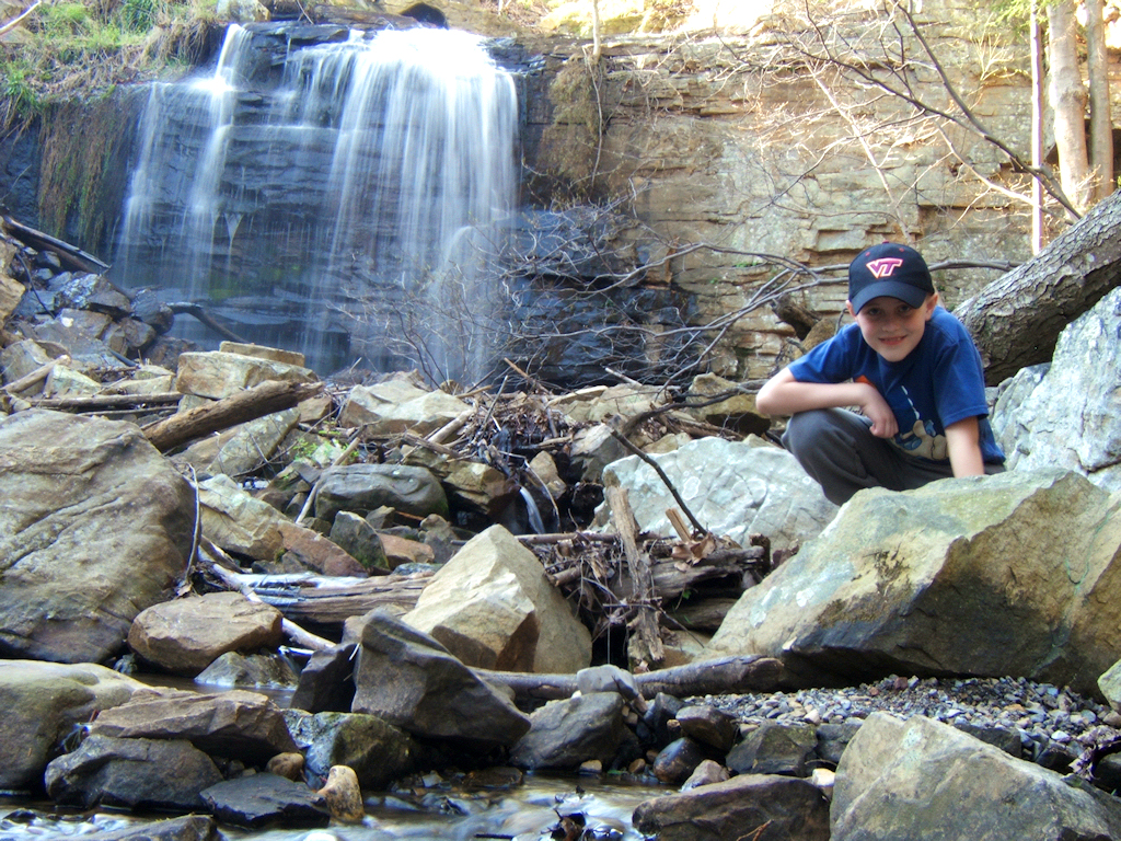
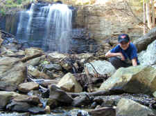
| Campbell
at Dolan Branch |
|
Another
Angle of the Falls |
| |
|
|
|
We
ended our trek by checking out Dolan Branch Falls, which is just
across the road and downstream from the dam. This is a nice
little ~20' waterfall. I tried my best to take some decent photos
without a tripod, while Campbell explored the area. He and I
both had a great time on this hike.
Total
Miles Hiked: 4.7
Getting There:
Driving
- From Johnson City, take I-26 north (toward Kingsport)
to Exit 3.
Turn left at the light at the bottom of the exit ramp.
This road turns into Reservoir Road. Continue on this road
for approximately 3 miles, then turn right onto Bays Mountain
Park Road. Stay to the left fork in the road at the park
entrance. You will stop mid-way up the mountain to pay $3 per
vehicle to get into the park. Trails
- To get to the fire tower, Cam and I walked down toward
the Nature Center from the parking area. We found a paved
trail right next to the lake and began walking toward the right.
Follow the signs for the Lakeside Trail. After
approximately 0.8 miles we turned right on the Hemlock Trail.
After 0.1 mile we then found the Fire Tower Trail, which was 0.7
miles to the tower. A great resource for the Bays Mountain
Trails with mileages can be found
here
(thanks to Collins Chew of the TEHCC for this chart).
|