| TRAIL
MAINTENANCE (Sign Installation) & LAUREL FALLS HIKE |
| |
|
|
|
March
12th, 2008 -
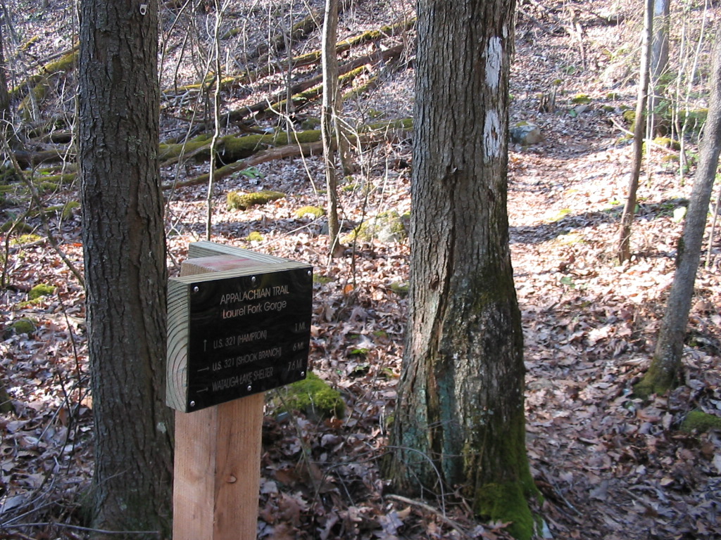
Shannon and I installed a
directional sign at the junction of the Hampton Blue-blaze and
the A.T. This has always been an area where it's easy to
miss the turn on to the A.T. (while heading north) in the Laurel
Fork Gorge, especially if you aren't paying close attention to
the blazes. Hopefully this sign will help with that
problem.
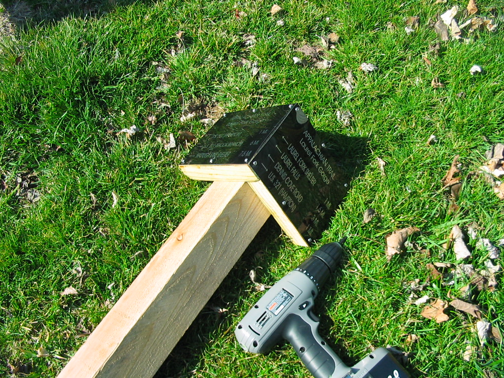
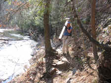
I built the post for the sign,
then Shannon and I drove to the trailhead. We had a one
mile hike to get to the junction, so she carried the post while
I carried the post-hole diggers and the tamping bar. |
| |
|
|
|
|
|
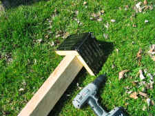
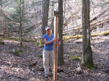
Building
the Post and Sign in the Front Lawn |
|
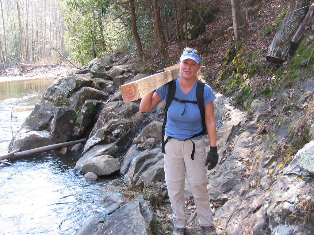
Shannon
Carrying the Sign Through a Tough Section of the Trail |
| |
|
|
 |
|
 |
| Shannon
in the Gorge |
|
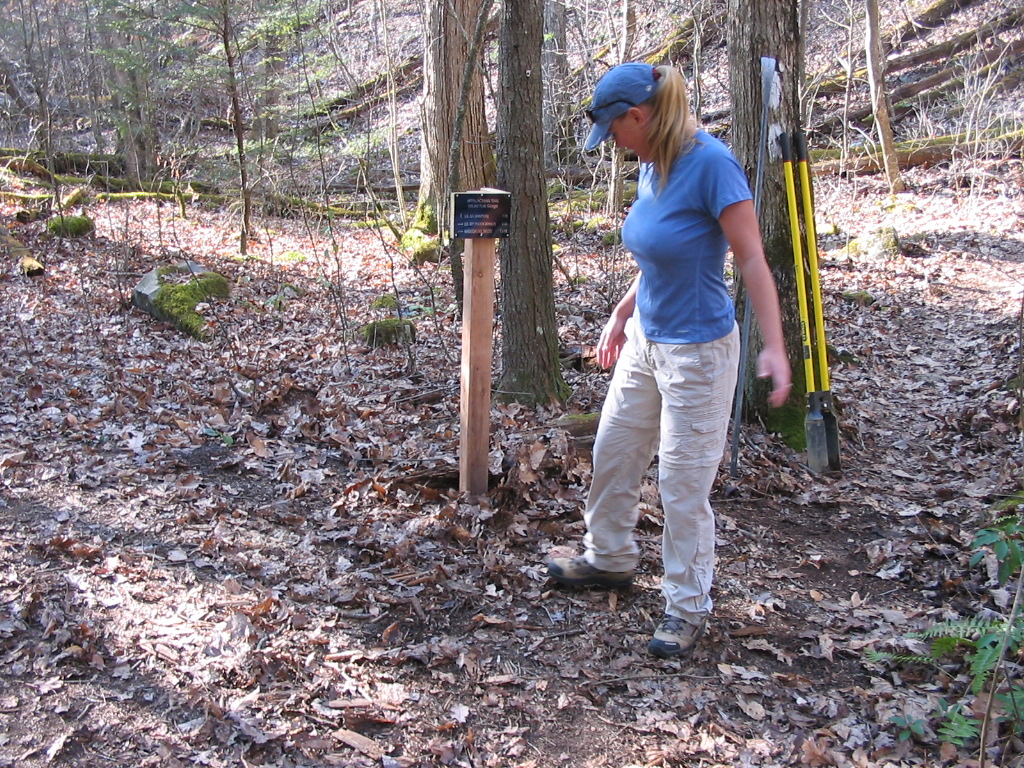
Trying
to Decide Exactly Where We Should Put It! |
| |
|
|
|
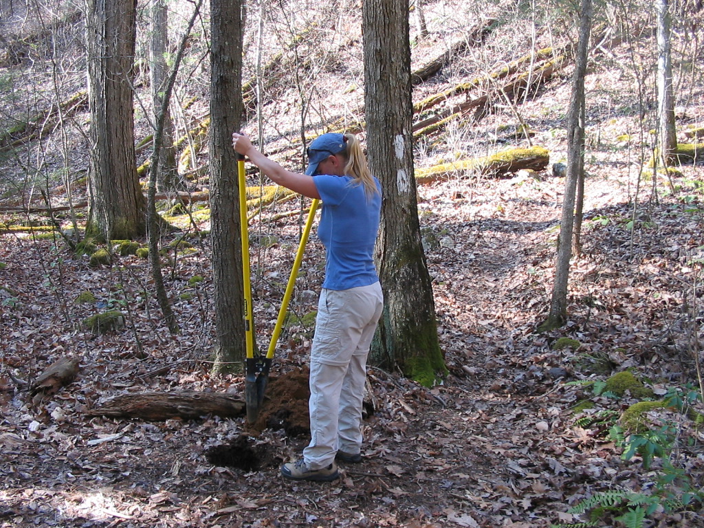
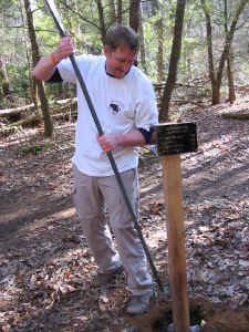
After picking out a good location
for the sign, we took turns digging the hole. I expected
it to be tough digging, but it was relatively easy with loose
soil. We then planted the post and tamped a lot of rocks
(along with the soil) into the hole to secure it as best
possible. When finished, we cleaned up our mess and put
leaves back around the whole area to make it look as
un-disturbed as we could. |
| |
|
|
 |
|
 |
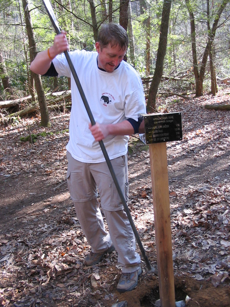
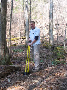
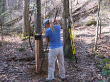
| Bill
Digging the Hole |
|
Note:
Sweat on Forehead and Blood on Right Index Finger |
| |
|
|
 |
|
 |
| Note:
No Sweat... No Blood. Hum... Could She Just Be Posing for this Photo? |
|
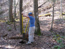
Shannon
With the Tamping Bar |
| |
|
|
 |
|
 |
| This
is What She Was Really Doing the Whole Time I Was Digging (just
kidding Shannon!) |
|
Shannon
Practicing "Leave No Trace" Sign Installation :-) |
| |
|
|
 |
|
 |
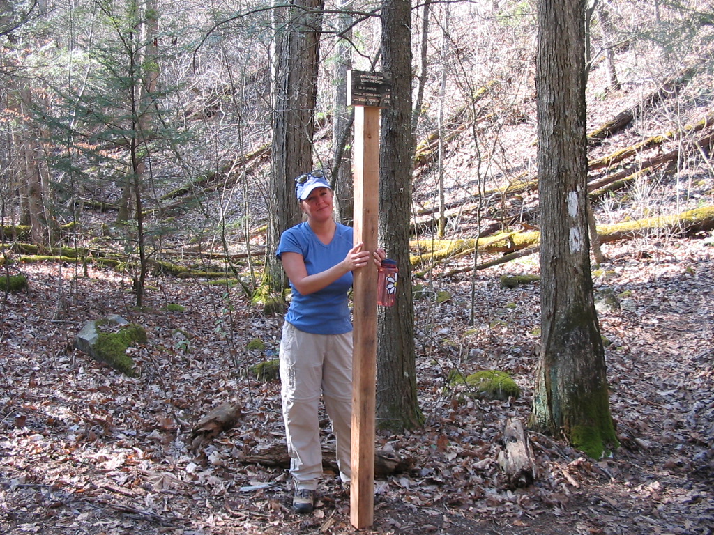
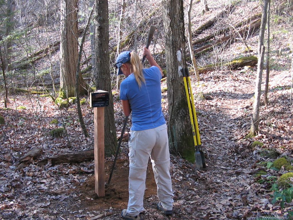
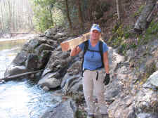
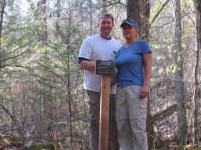
| Proud
Parents of an A.T. Sign |
|
Finished
Product |
| |
|
|
|
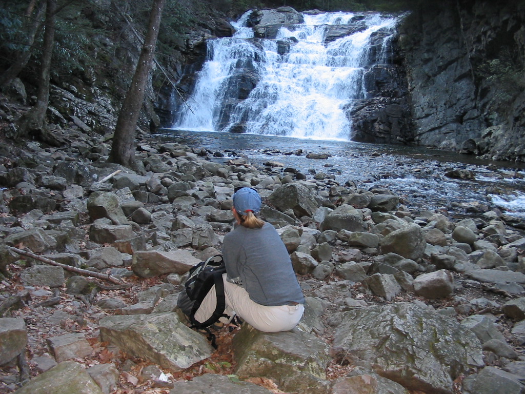
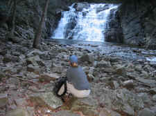
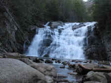
We finished a lot quicker than
we thought, so we hid our tools behind a log and decided to hike
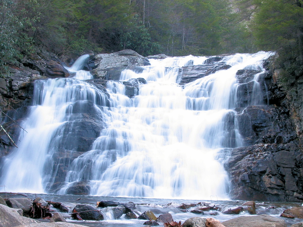
another 1.5 miles on down the trail to Laurel Falls. The
falls were beautiful as always. It was getting darker, which helps so much when
photographing waterfalls. We then ate a snack and turned
around to head back.
We got back to the junction where
we picked up our tools and carried them the rest of the way back
to the car. Maintenance hours for Shannon was 2.5, which
included driving to and from the trailhead, carrying tools in
and out, and installation (not included was the time for the
hike to the falls). I had 3.5 hours, which was for the
above along with construction of the post. |
| |
|
|
 |
|
 |
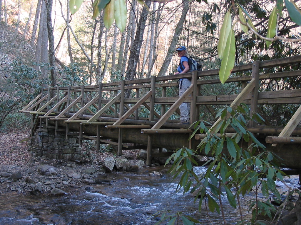
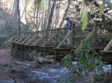
| Shannon
Crossing a Bridge in the Laurel Fork Gorge |
|
Enjoying
the Views at Laurel Falls |
| |
|
|
 |
|
 |
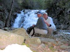
| Shannon
& Bill |
|
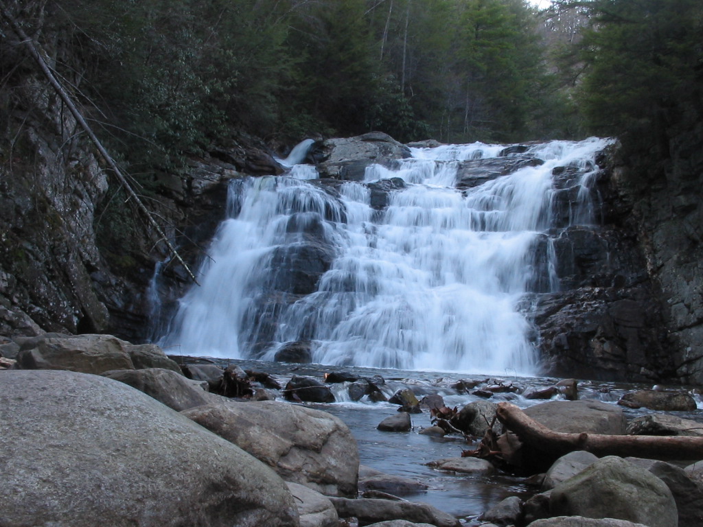
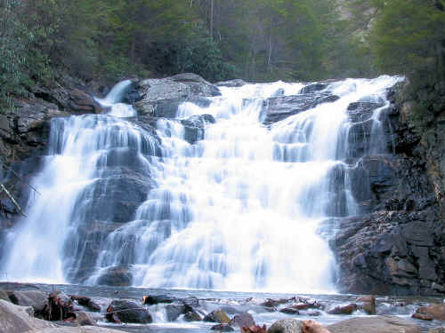
Laurel
Falls |
| |
|
|
 |
| Another
Shot |
| |
|
|
|
Total
Miles Hiked: 5.0 |
|
|
|
Directions to Laurel
Falls: Take highway 19E to Hampton, Tennessee. Turn
onto Highway 321, which is the main road through Hampton that
goes toward Watauga Lake. Drive 1.5 miles to the
trailhead/parking area on the right. Follow the
blue-blazed trail for one mile until it ends, and meets up with
the Appalachian Trail. Keep following the A.T. (heading
south along the stream) for another 1.5 miles until you reach
the falls. |