|
June
16th & 17th
DAY
#1 - 12.6 Miles Hiked
Shannon
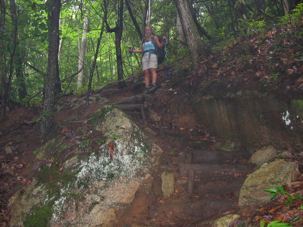
and I got a shuttle up to the Highway 19E A.T.
trailhead on Saturday morning (leaving our car at
Dennis Cove), and began our northbound backpacking
trip around 9:00. We started out in a little
rain, but it soon cleared giving us a pleasant day
of hiking through a lot of different types of
terrain. We ascended through forests, logging
roads, old tree farms, and grassy fields, along with
passing numerous streams, springs, and two
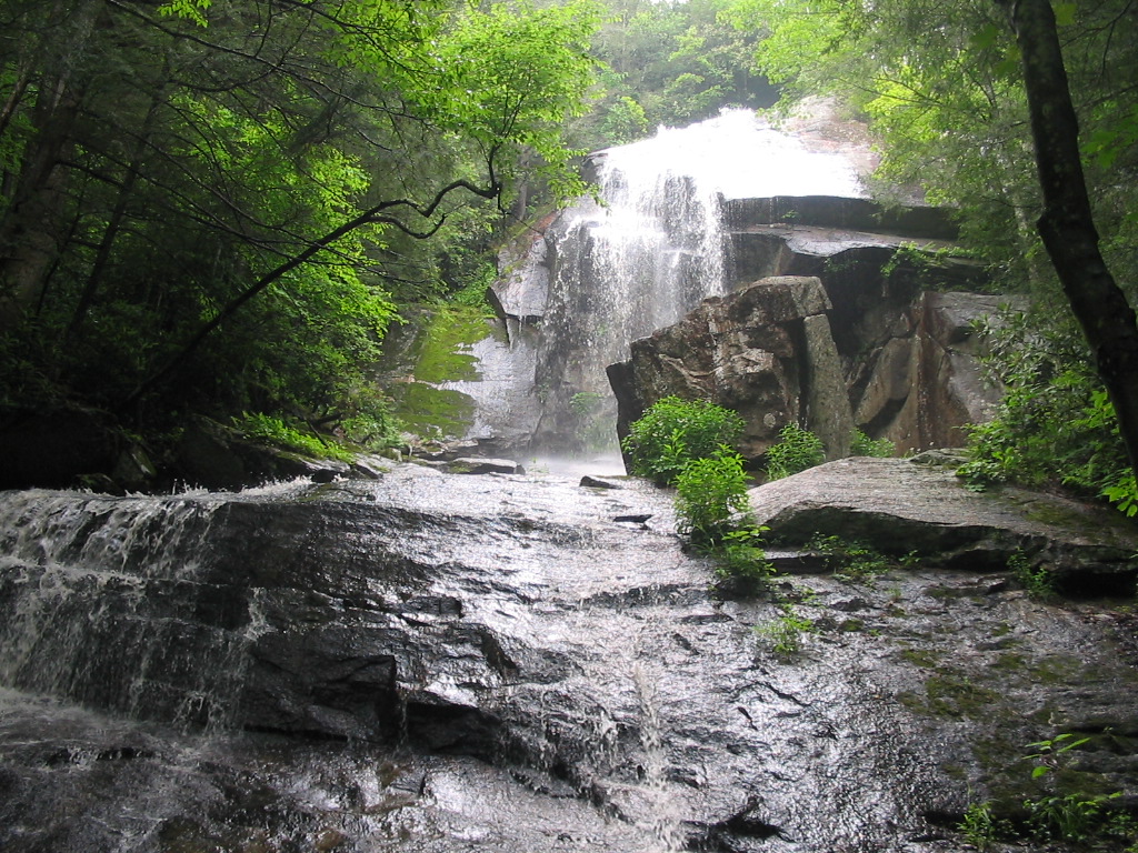
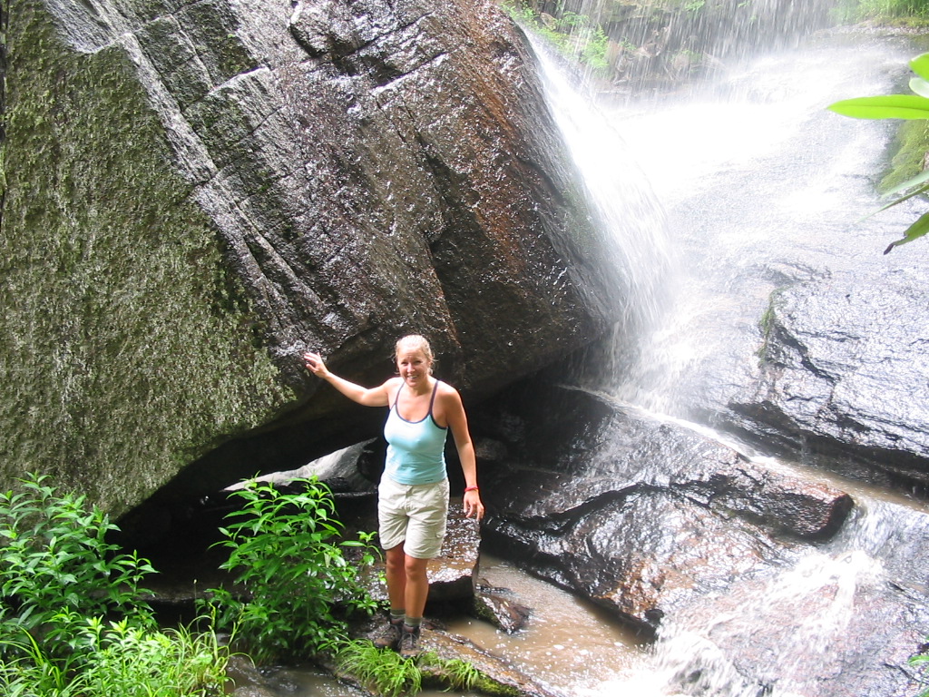
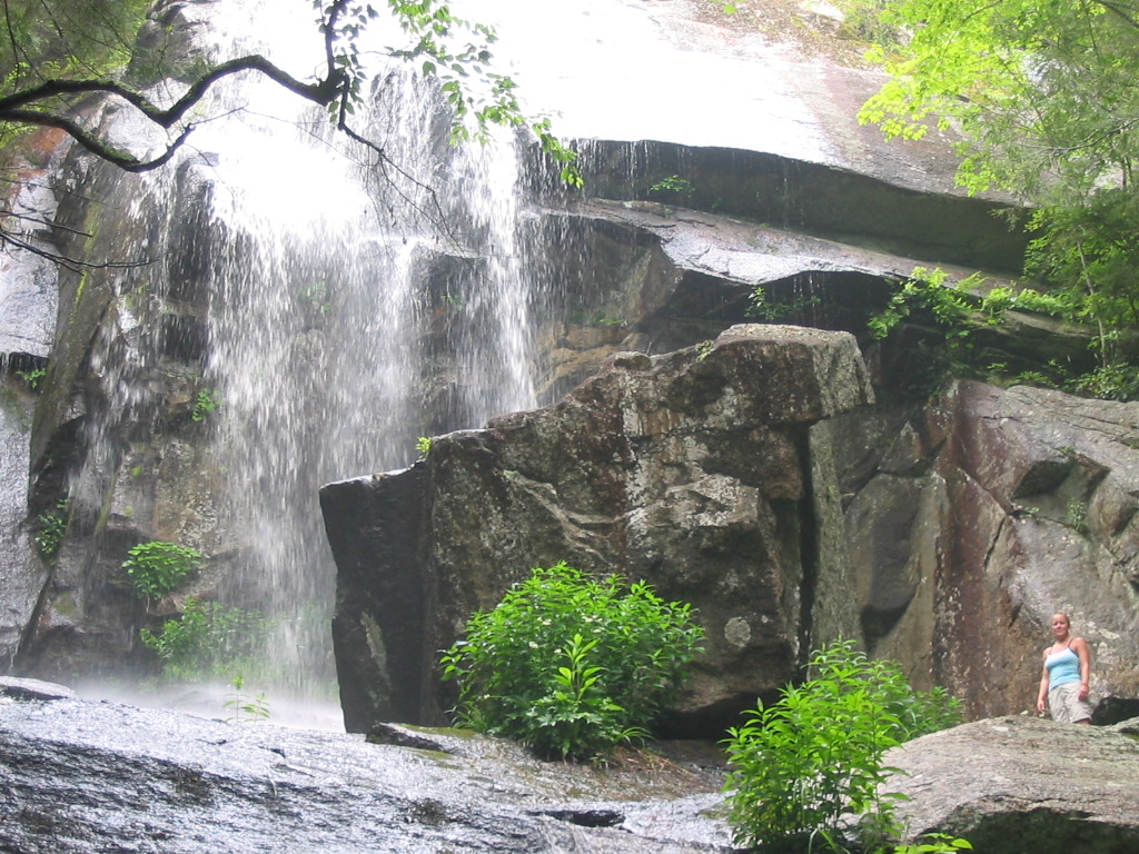
waterfalls. The highlight was Jones Falls, where we
stopped for lunch and to take a bunch of
photos. I have to say that Jones Falls is my
favorite waterfall that I've seen all year.
With over 100' of drop (and a lot of water flow on
that particular day due to rain the night before) it
was very impressive.
After
Jones Falls, we descended down to Elk River where we
followed it for a couple of miles before our climb
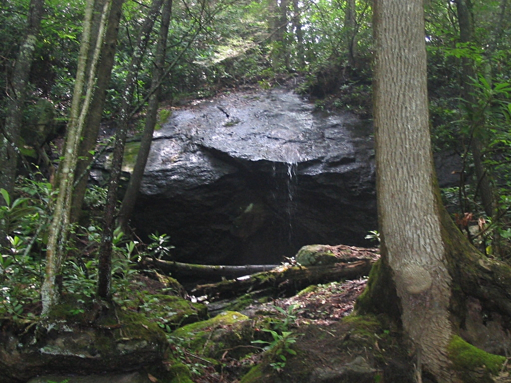
up Walnut Mountain. From there was passed
Mountaineer Falls (a small, but pretty waterfall),
and the new Mountaineer Shelter. We soon
crossed Walnut Mountain Road and found upper Laurel
Fork where we decided to set up camp.
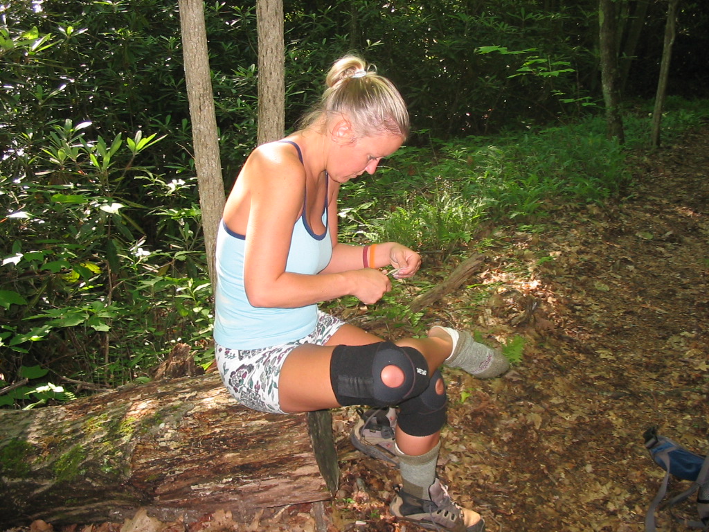
Our
campsite was nice as we were in a level spot right
next to the stream, but everything was so wet from
the rain that I couldn't get a fire started to help
dry our clothes. But, we still cooked on the
gas stove, and had a good dinner of noodles and
summer sausage. After 5 or so games of Yahtzee,
we went to bed.
(Click
all images for larger photos)
|
|
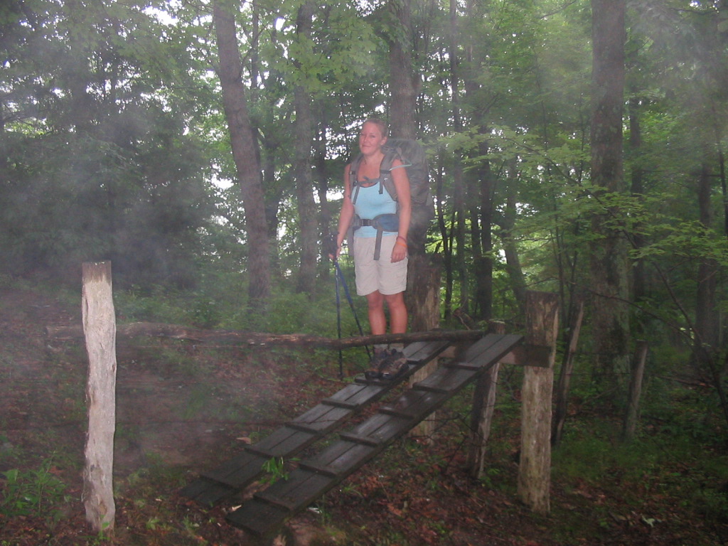
Shannon
Crossing a Stile Early in Our Hike |
Majestic
Jones Falls - 100' Drop |
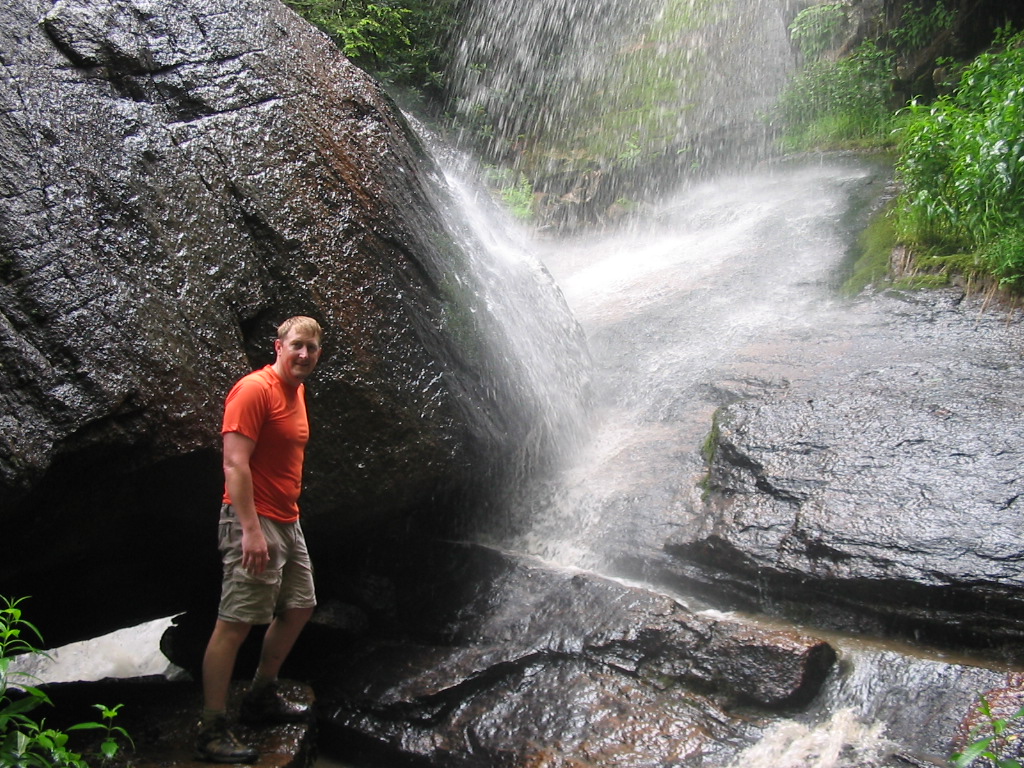
Near
the Upper Tier of the Falls |
|
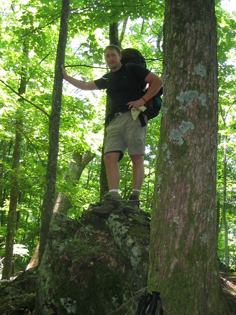
DAY
#2 - 11.4 miles Hiked We
slept in just a little on Sunday morning, and
finally got started at around 9:00 a.m. After
a mile or so Shannon began having trouble with
blisters on her heels and we stopped a few times to
doctor them, but to no avail... they ended up giving
her worse trouble throughout the day. This
hike was again very pretty. We climbed to the
summit of White Rocks Mountain, which was our high
point for the entire trip at over 4200 feet.
It was also easy to see how this mountain got its
name as there were numerous large boulders scattered
across the top of the ridge.
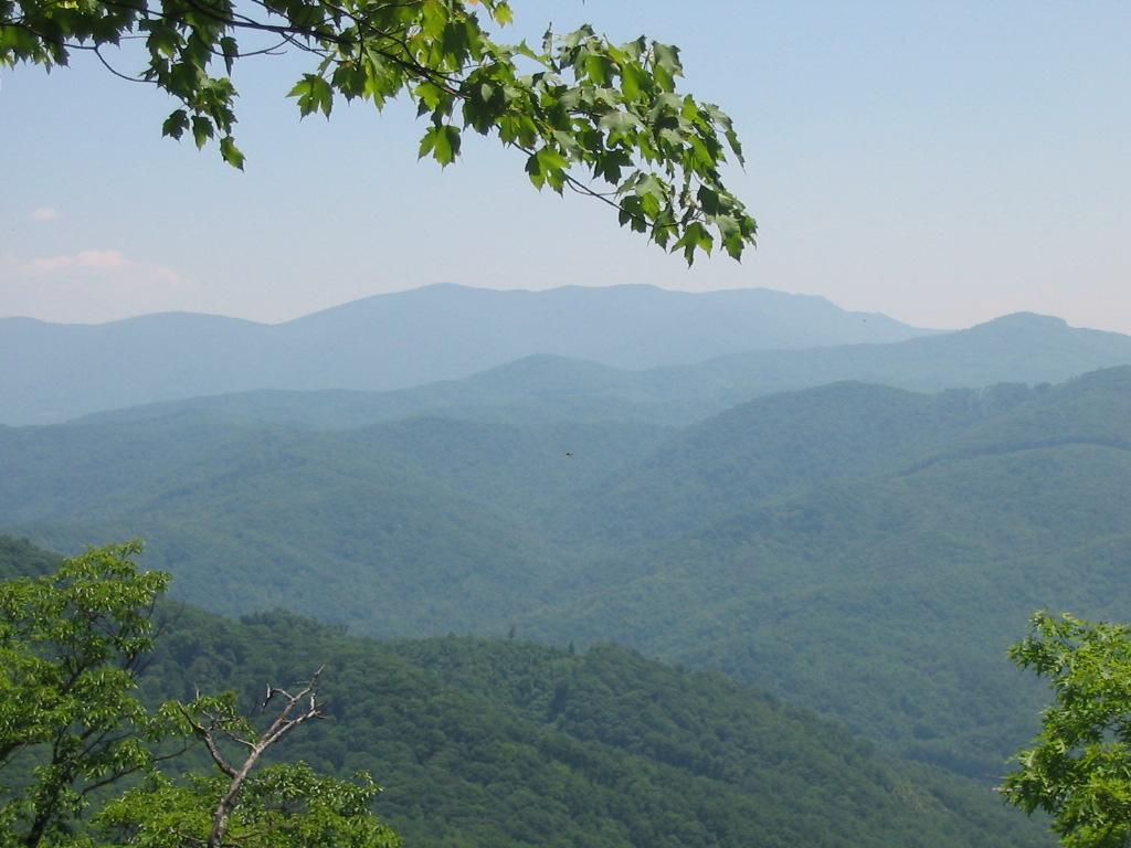
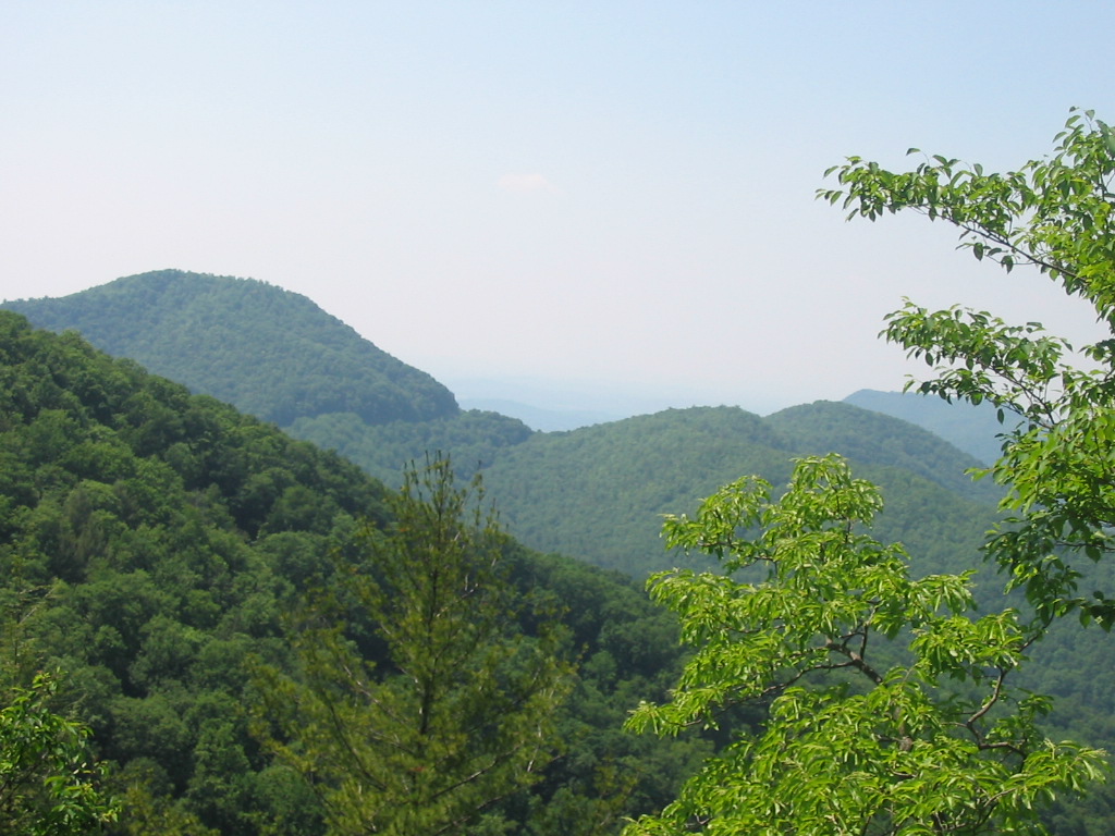
There were also clearings that gave us nice views of
the neighboring Roan Highlands. Near the end
of the trip Shannon's feet were really hurting, and
it was slow going making our way down to Dennis
Cove. We also passed up the side trail to Coon
Den Falls, but talked of possibly returning there
soon with the kids. We ended our hike at
around 4:00 p.m., completing approximately 24
miles. |