|
April
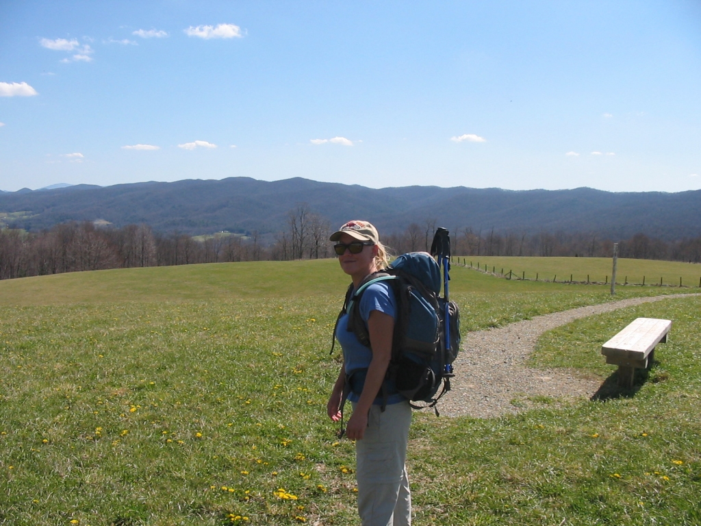
21st - Shannon and I took two vehicles and
parked one at the A.T. crossing at US 421, and then
parked the other at TN 91, which is where we began
our hike. We set out north on the A.T., which
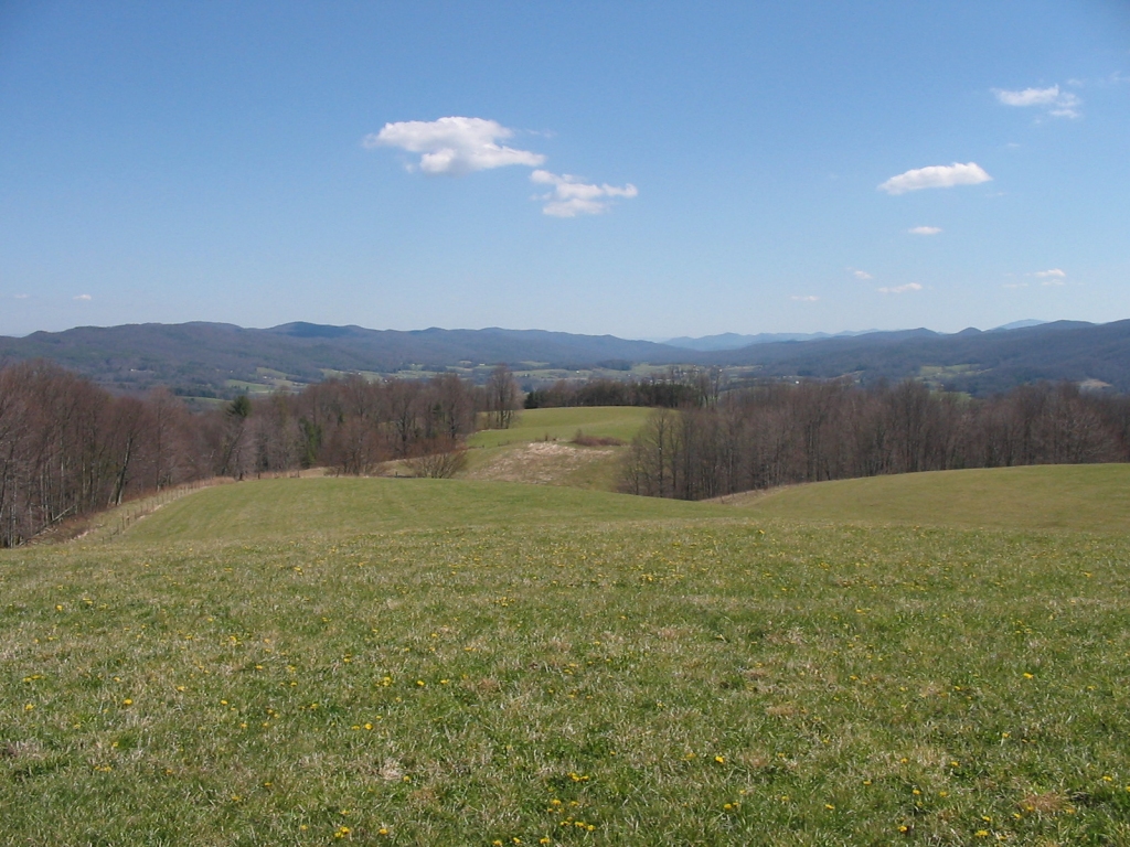
immediately goes across the scenic hay fields at
Osborne Farm. The views here looking down into
Shady Valley were very nice and we stopped to take
some photos.
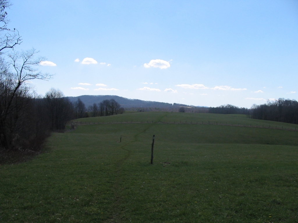
After
the fields ended we went into the forest at Cross
Mountain, passing some nice springs and campsites
along the way. About 3 miles into the hike we
reached the crest of Cross Mountain, and it was at
about that point that we met a nice couple from
Buffalo, NY that was on a 3-month A.T. hike.
We stopped to talk to them for about 15 minutes then headed
on.
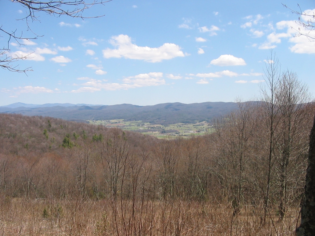
We
soon passed the Double Springs Shelter and then
Locust Knob (elevation 4020). It was not far
past there that the trail opened up to the east
giving us wonderful views of Shady Valley and Mount
Rogers.
(Click
all images for larger photos)
|